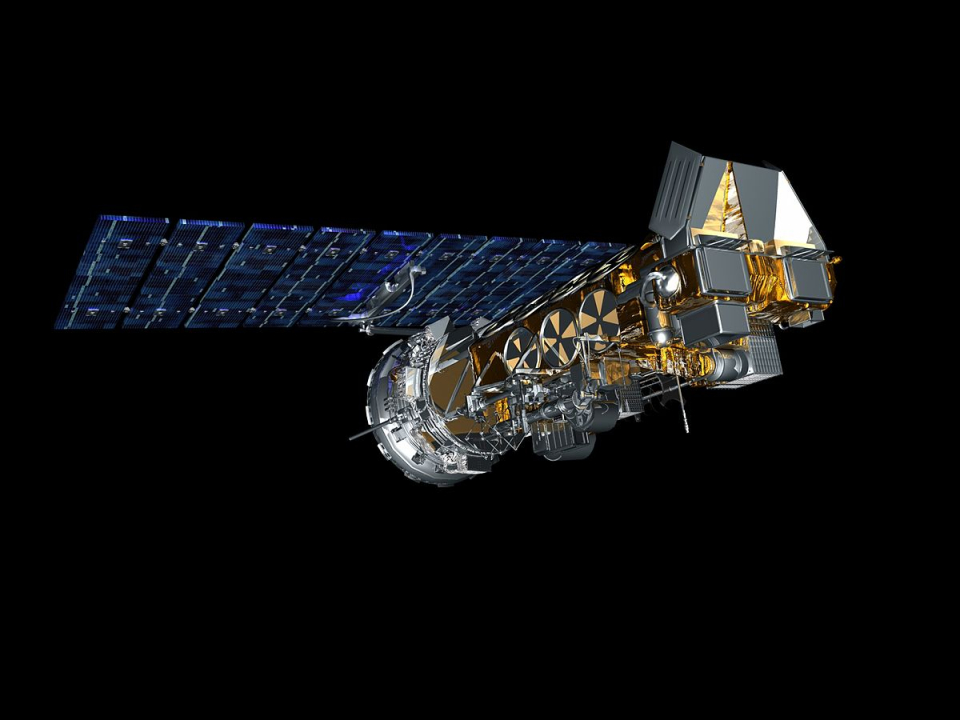
Satellite characteristics
Launch Date - End 1116453600 -
Status Operational
Orbit type Sun-synchronous circular
Altitude 850
Orbit inclination 98.7
Equatorial crossing time 02:00:00
Orbit period 102
Satellite family: POES (Polar Orbiting Environmental Satellites)
The POES satellite system offers the advantage of daily global coverage, by making nearly polar orbits roughly 14.1 times daily.
Data from the POES series supports a broad range of environmental monitoring applications including weather analysis and forecasting, climate research and prediction, global sea surface temperature measurements, atmospheric soundings of temperature and humidity, ocean dynamics research, volcanic eruption monitoring, forest fire detection, global vegetation analysis, search and rescue, and many other applications.
Sensor characteristics
| Sensor name | AMSU (Advanced Microwave Sounding Unit) |
|---|---|
| Sensor short description | |
| Sensor type | Atmospheric instrument |
| Resolution class | Very Low (> 1 km) |
| Swath width (at nadir) | 1690 km |
| Revisit frequency | 1 dagen |
| Max look angle | 50 ° |
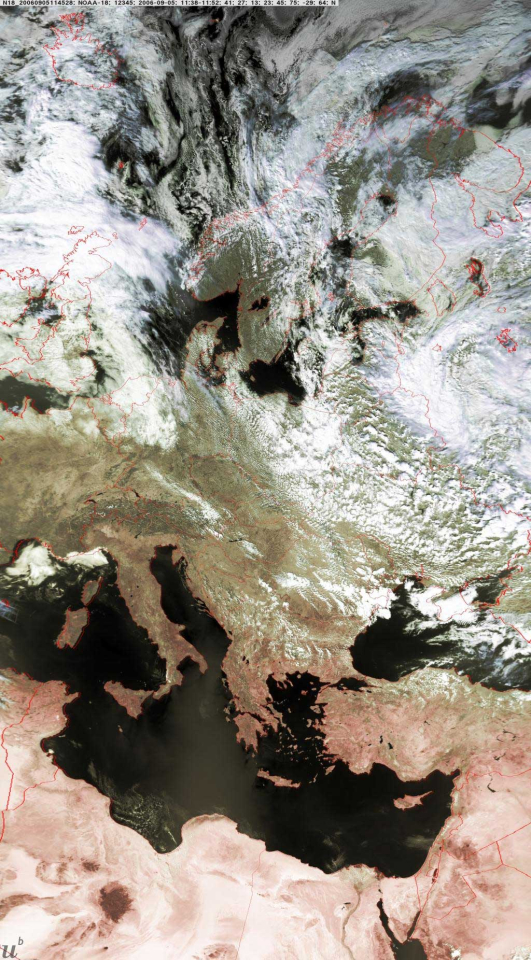
| Sensor name | AVHRR3 (Advanced Very High Resolution Radiometer 3) |
|---|---|
| Sensor short description | |
| Sensor type | Imaging radiometer (Vis/IR) |
| Resolution class | Very Low (> 1 km) |
| Swath width (at nadir) | 2900 km |
| Revisit frequency | 1 dagen |
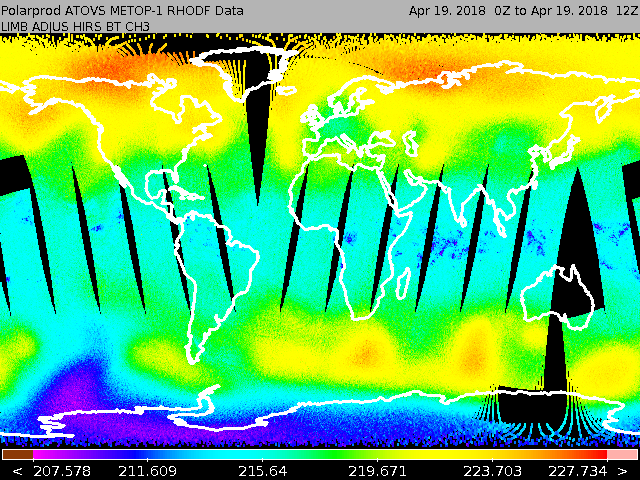
| Sensor name | HIRS (High Resolution Infrared Radiation Sounder) |
|---|---|
| Sensor short description | |
| Sensor type | Imaging radiometer (Vis/IR) |
| Resolution class | Very Low (> 1 km) |
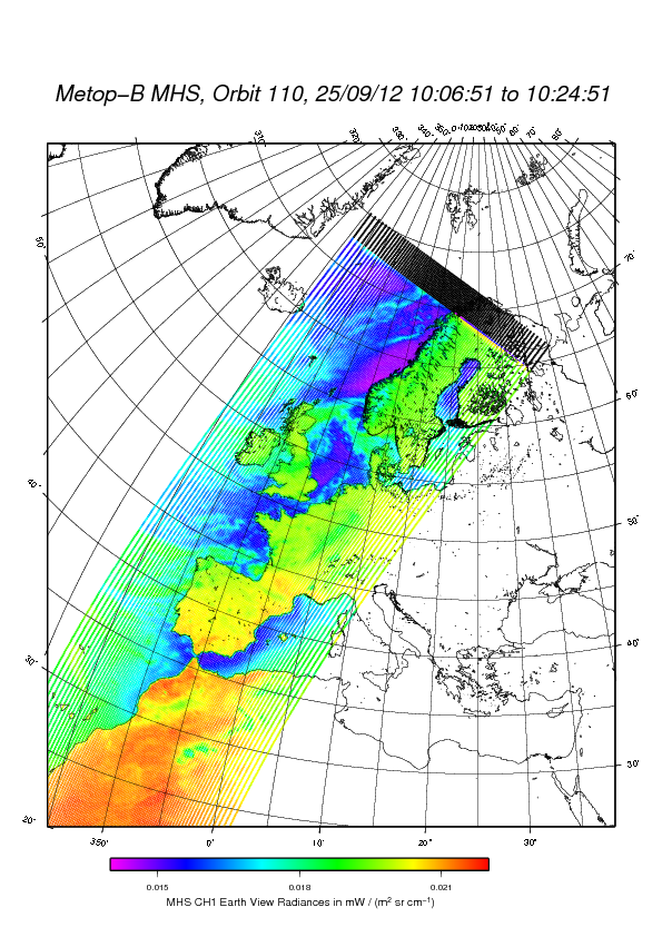
| Sensor name | MHS (Microwave Humidity Sounder) |
|---|---|
| Sensor short description | |
| Sensor type | Atmospheric instrument |
| Resolution class | NA |
| Swath width (at nadir) | 2000 km |
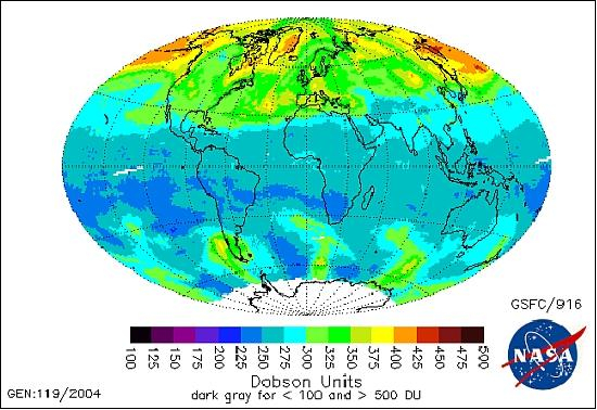
| Sensor name | SBUV/TOMS (Solar Backscatter Ultraviolet/Total Ozone Mapping Spectrometer) |
|---|---|
| Sensor short description | |
| Sensor type | Atmospheric instrument |
| Resolution class | Very Low (> 1 km) |