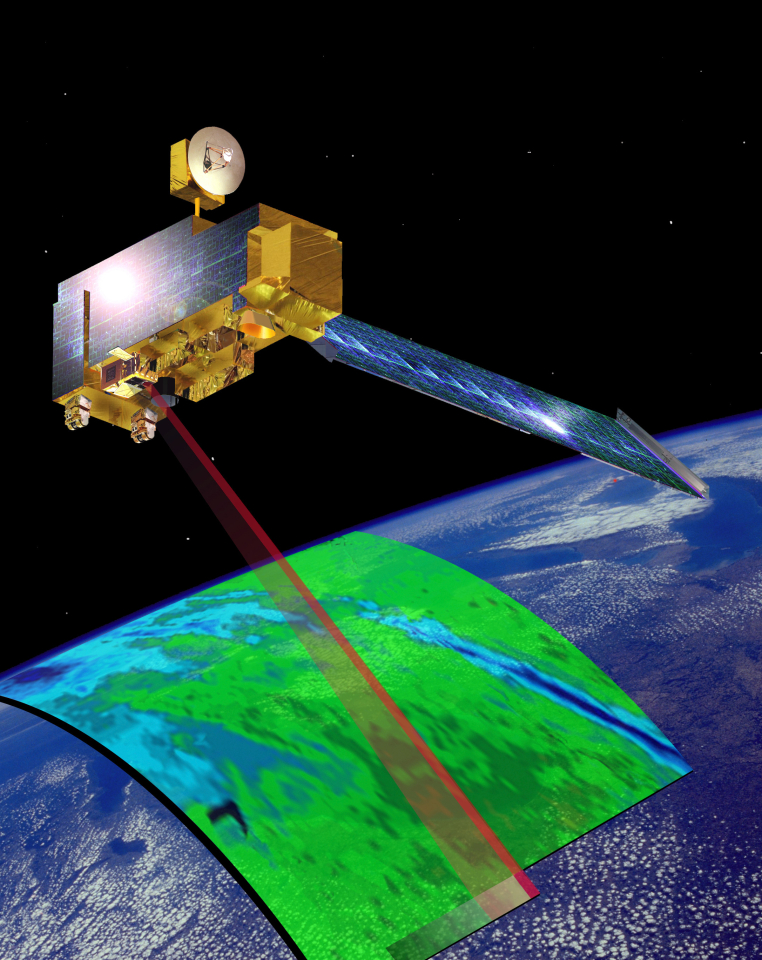

Satellite characteristics
Launch Date - End 945385200 -
Status Operational
Orbit type Sun-synchronous circular orbit
Altitude 705
Orbit inclination 98.5
Equatorial crossing time 10:30:00
Orbit period 99
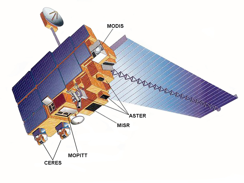
Satellite family: EOS (Earth Observing System)
The Earth Observing System (EOS) is a major component of NASA's Earth-Sun System Missions. The mission includes a series of satellites, a science component, and a data system supporting a coordinated series of polar-orbiting and low inclination satellites for long-term global observations of the land surface, biosphere, solid Earth, atmosphere, and oceans. EOS is enabling an improved understanding of the Earth as an integrated system.Sensor characteristics
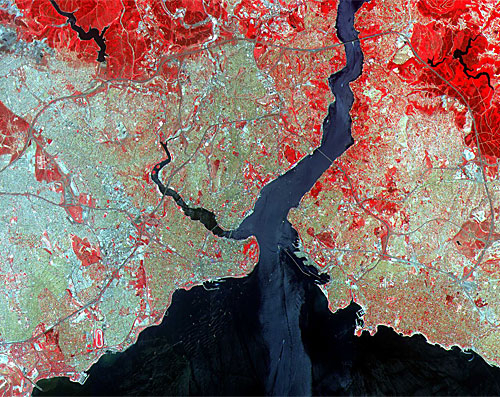
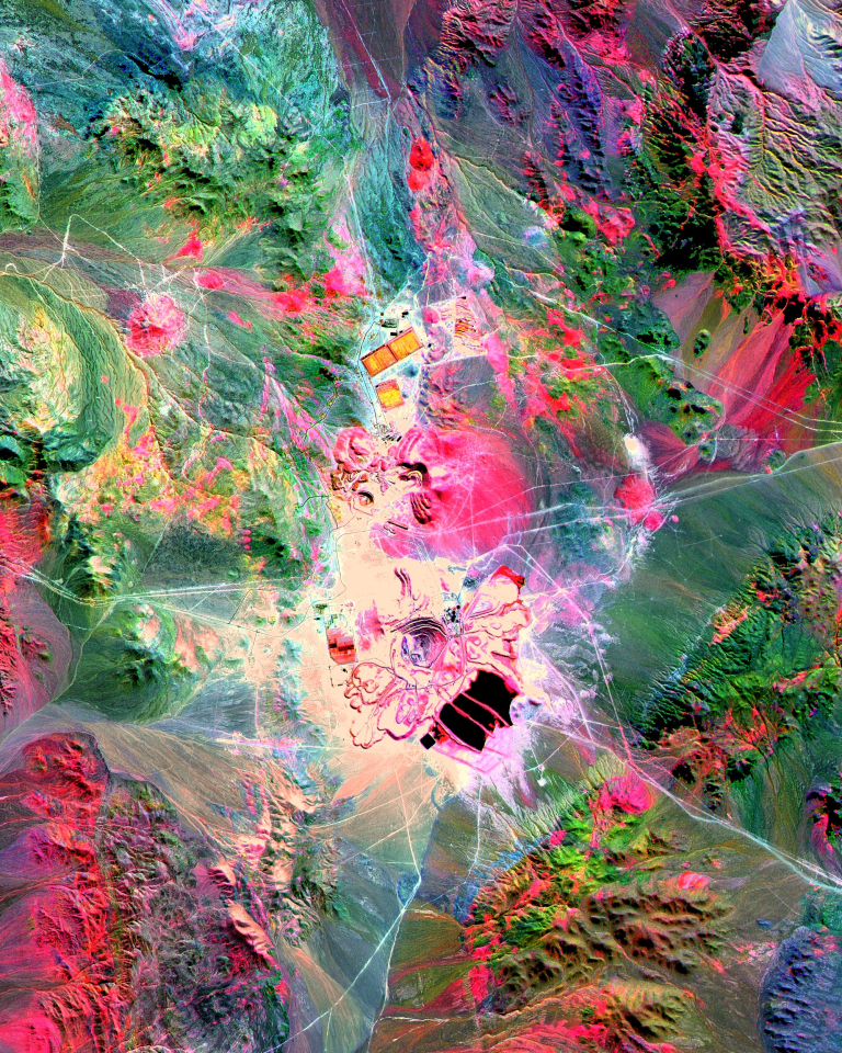
| Sensor name | ASTER (Advanced Spaceborne Thermal Emission and Reflection Radiometer) |
|---|---|
| Sensor short description | |
| Sensor type | Imaging radiometer (Vis/IR) |
| Resolution class | High (5 - 30 m) |
| Swath width (at nadir) | 60 km |
| Revisit frequency | 16 dagen |
| Max look angle | 24 ° |
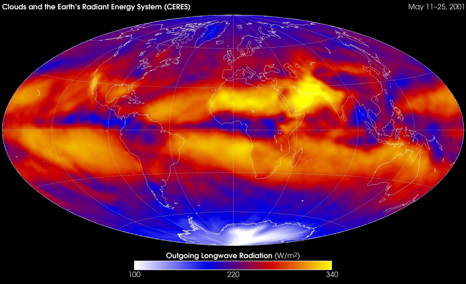
| Sensor name | CERES (Clouds and the Earth's Radiant Energy System) |
|---|---|
| Sensor short description | |
| Sensor type | Imaging radiometer (Vis/IR) |
| Resolution class | Very Low (> 1 km) |
| Max look angle | 78 ° |
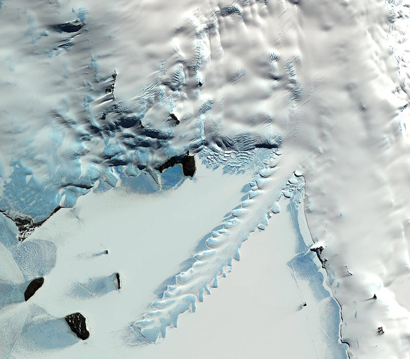
| Sensor name | MISR (Multi-angle Imaging SpectroRadiometer) |
|---|---|
| Sensor short description | |
| Sensor type | Imaging radiometer (Vis/IR) |
| Resolution class | Medium (30 - 300 m) |
| Swath width (at nadir) | 360 km |
| Revisit frequency | 9 dagen |
| Max look angle | 70 ° |
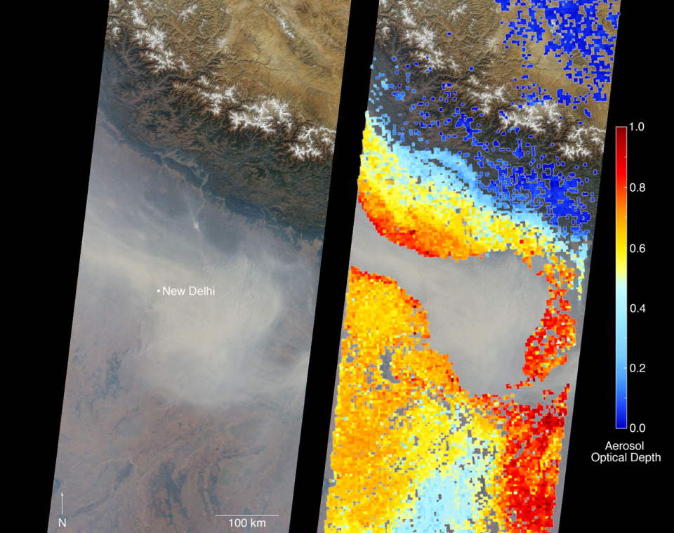
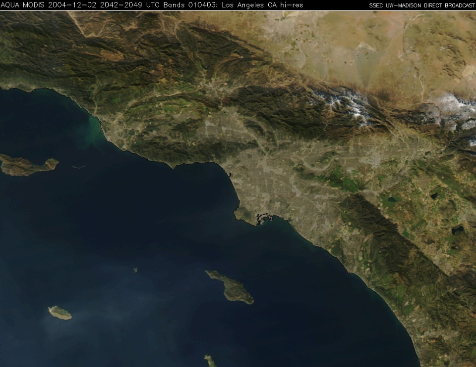
| Sensor name | MODIS (Moderate-Resolution Imaging Spectroradiometer) |
|---|---|
| Sensor short description | |
| Sensor type | Imaging radiometer (Vis/IR) |
| Resolution class | Medium (30 - 300 m) |
| Swath width (at nadir) | 2330 km |
| Revisit frequency | 2 dagen |
| Sensor name | MOPITT (Measurement of Pollution in the Troposphere) |
|---|---|
| Sensor short description | |
| Sensor type | Atmospheric instrument |
| Resolution class | Very Low (> 1 km) |
| Swath width (at nadir) | 616 km |
| Max look angle | 26 ° |