Context and objectives
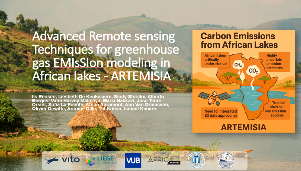
African lakes represent 66% of the tropical lake surface area, yet remain “among the least studied” for CO₂ and CH₄ emissions. Current global estimates are uncertain because they rely on sparse in situ data. ARTEMISIA aims to deliver a pan African EO based framework for quantifying lake GHG emissions for lakes >0.1 km². Its objectives include improving EO derived water quality products (Chl a, CDOM, TSM), preparing for new satellite missions, modelling CO₂/CH₄ emissions at local and continental scales, and identifying key environmental drivers.
The overall objective of the ARTEMESIA project is to improve our knowledge about the spatio-temporal variability of greenhouse gas (CO2 and CH4) emissions at pan-African scale. Specific objectives are:
-
O1: To enhance the retrieval of EO-derived water quality products for Chl-a, CDOM and TSM for tropical African lakes (>0.1 km²).
-
O2: To prepare for the use of new satellite missions for improved water quality and greenhouse gas monitoring.
-
O3: To estimate CO2 and CH4 emissions at local (2 local case studies) and African scale based on modelling using EO data as input.
-
O4: To understand the drivers of water quality and CO2 and CH4 emissions at local scale (Tanganyika basin (i.e., Lake Tanganyika & optional Kivu) and Lake Victoria case studies).
-
O5: To understand the key drivers of CO2 and CH4 emissions at the pan-African level.
Project outcome
Expected scientific results
- Pan African CO₂ and CH₄ emission dataset for lakes >0.1 km², with monthly/annual resolution and uncertainty estimates.
- Improved EO based water quality retrievals tailored to optically complex African lakes.
- Novel machine learning models linking EO data to dissolved GHG concentrations.
- High resolution spatial emission maps for Lake Tanganyika and Lake Victoria.
- New insights into drivers of GHG emissions, including sediment transport, land use, trophic state, and geomorphic disturbances.
Expected products and services
- Open access EO derived datasets (Chl a, CDOM, TSM, dissolved CO₂/CH₄).
- Pan African GHG emission database (Zenodo tables + Google Earth KMZ).
- Web based dashboard for country level CO₂/CH₄ emissions.
- Enhanced atmospheric correction and water quality algorithms.
- Case study specific high resolution emission maps.
- SWAT+ model outputs for sediment, nutrient, and carbon fluxes.
| Project leader(s): | VITO - Remote Sensing - Teledetectie en aardobservatieprocessen | |||||
| Belgian partner(s) | ||||||
| International partner(s) |
|
|||||
| Location: |
Continent:
|
|||||
| Website: | https://remotesensing.vito.be/services/artemisia | |||||