Context and objectives
![]()
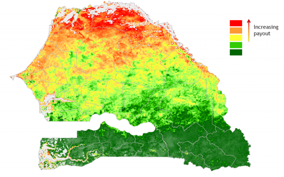
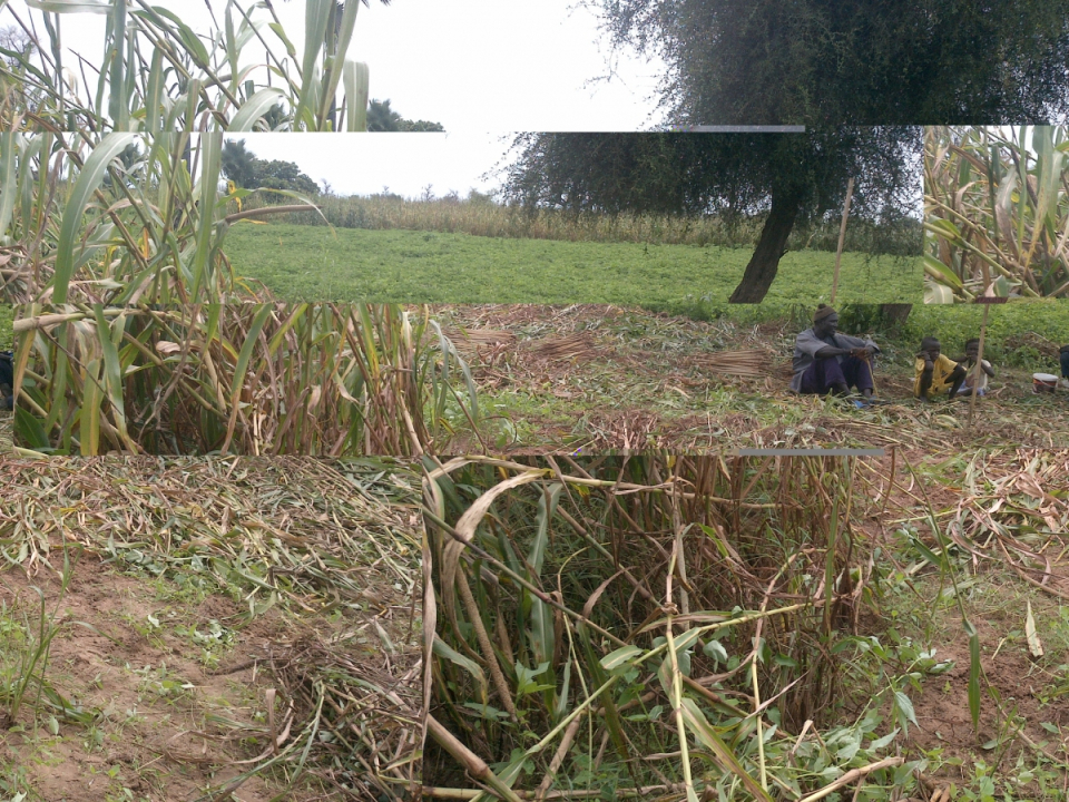
The project’s main objective is to develop remote sensing products for index insurance that can accurately depict yield loss in smallholder farming due to weather and/or other perils, and be scalable in insurance schemes delivered at micro or meso level. In practice, the project is developing, testing, validating and evaluating seven innovative remote sensing technologies in Senegal, with lessons applicable to the rest of the region and entire insurance sector.
Project outcome
Scientific results
The project developed and tested seven innovative remote sensing methodologies over two crop seasons in Senegal. These methodologies were evaluated to produce findings and recommendations on the performance of the different indices in accurately depicting village-level yield loss due to weather and other perils (depending on the remote sensing approach); and on the operational feasibility and implementation needed to mainstream remote sensing in index insurance operations. In conclusion it was recommended that:
- additional research and development activities be supported to further improve the potential of remote sensing for index insurance;
- further investment be made in ground data collection protocols, capacity and systems;
- different remote sensing approaches, dedicated mapping tools, and groundlevel sources of data and information be combined to improve the quality of index insurance structures;
- future initiatives focus on developing proper segmentation of the size of the insured area;
- schemes based on remotely sensed data be carefully planned for measures aimed at mitigating the occurrence of basis risk events;
- capacity of private and public remote sensing institutions be built in order to fill current gaps in expertise and ensure future sustainability.
Products and Services
No products and services were developed within this project. Different methodologies to develop index based insurances products were tested and evaluated. Based on the outcome of this projects it was concluded that remote sensing methodologies are operationally feasible for index insurance. However, it was a challenge for the indices developed to reflect local yield, and basis risk remains a key concern.
Potential users
In developing countries, agricultural insurance programmes are often initiated by donors and development agencies, working in conjunction with insurers and national partners in both private and public sectors. Insurance is often integrated into agricultural development programmes and linked to supply chains, and it may be bundled with finance. As such the potential users of the project results are people working in the (broad) insurance community, agricultural development and government.

| Project leader(s): | VITO - Remote Sensing - Teledetectie en aardobservatieprocessen | |||
| Belgian partner(s) |
|
|||
| Location: |
Country:
Region:
|
|||
| Website: | https://www.ifad.org/en/web/knowledge/publication/asset/39552352 | |||