Published on 15 October 2019
The importance of snow is often underestimated. In the Northern Hemisphere, nearly 50% of the land surface is covered with snow in winter. Globally, more than one billion people depend on melting snow for their drinking water supply. Melt water is also essential for agriculture and power generation. In addition, due to the strong reflection of sunlight, snow limits the energy absorbed by the ground and thus warming.
For all these reasons, it is essential to have quantitative estimates of the amount of snow stored in each mountain range on Earth.

To estimate these snow stocks we can use local measurement interpolations or numerical weather forecasts. However, the former are unrealistic in inaccessible places where measurements are rare, and the latter are often inaccurate due to the high uncertainty of snowfall in the mountains.
Researchers have also been using several remote sensing techniques to try to determine snow depth, but none has so far been satisfactory on a global scale. Airborne LiDAR systems allow the most accurate measurements but are expensive and limited to certain targeted mountain areas, and can only be used in favourable weather conditions. Passive microwave satellite observations are used in non-mountainous areas due to their coarse spatial resolution (about 25 km). An additional disadvantage is the fact that the signal saturates beyond 0.8 m of snow depth.
Within the framework of the projects SNOPOST and C-SNOW, funded by the STEREO programme, Belgian researchers have for the first time succeeded in mapping the snow depth of all mountain areas in the Northern Hemisphere at a resolution of 1 km² using radar satellite data from the Sentinel-1 mission of the Copernicus programme Sentinel-1 (Sentinel-1A and Sentinel-1B). The results of this research were published in "Nature Communications" on October 11, 2019.
 The northern hemisphere's average snow depth in meters in February 2018, based on Sentinel-1 data.
In collaboration with an international team, researchers studied snow depth in more than 700 mountain areas in the Northern Hemisphere from winter 2016 to summer 2018. By analysing in situ and satellite data, they developed an algorithm to extract the snow depth from the C-band (5.4 GHz) microwave backscatter measurements. The snow depth values obtained by their model were compared with point measurements at about 4,000 sites.
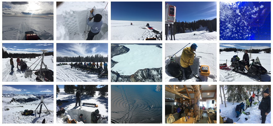 The Belgian researchers have taken part in the SnowEx campaign organised by NASA. The objective of the campaign is to compare different technologies for the detection of snow types representative for the entire world, and to form the basis of a future snow satellite mission.
Hans Lievens explains the method they used: “Electromagnetic waves consist of electric and magnetic fields that vibrate perpendicular to the direction in which they move. With a filter, you can make sure that they only vibrate in one direction, for example vertically or horizontally. The radar on board the satellite transmits vertically polarized waves. Snow crystals change the plane in which radar waves vibrate. When the waves reach the snow particles, they are partly reflected back to the satellite and their polarization is therefore changed. The more snow there is, the more horizontally polarized waves are recorded. The ratio between the vertical and horizontal reflected signal gives us information on the depth of the snow.”
In combination with the current snow monitoring systems of the World Meteorological Organization (WMO), the method developed should allow near-realtime monitoring of snow cover evolution at the global level. It is therefore an important contribution to improving water distribution management, estimating flood risks in certain areas or determining the vulnerability of snow stocks to climate change.
More information
Belgische wetenschappers ontwikkelen nieuwe methode om sneeuwdiepte in de bergen te meten - EOS