News
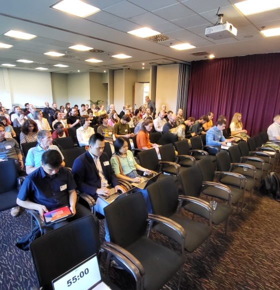
BEODAY 2025: 40 Years Belgian Earth Observation
Published on 12 March 2025

Radar experiments for improved climate monitoring
Published on 30 January 2025
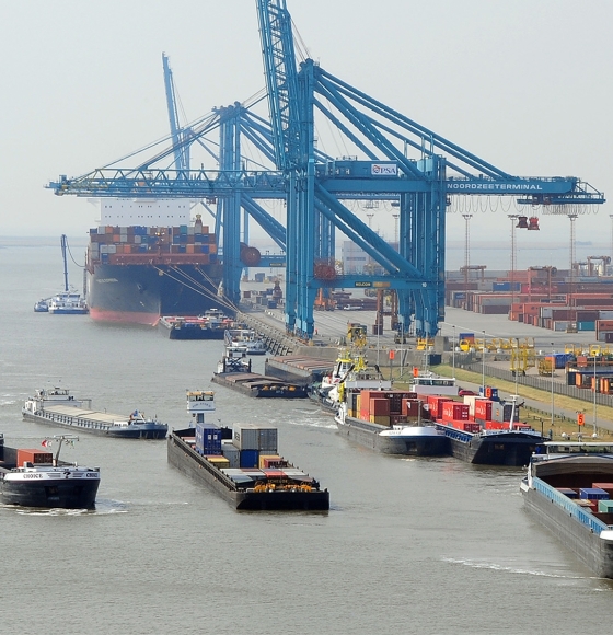
SWIPE: Detecting oil spills in ports
Published on 12 December 2024

STEREO researchers on a mission in slippery terrain
Published on 10 October 2024
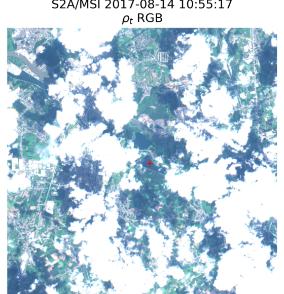
New webstory from STEREO project RAdCor on Adjacency Correction in Cloudy Scenes
Published on 18 September 2024
A Belgian space scientist with a green mission
Published on 19 July 2024
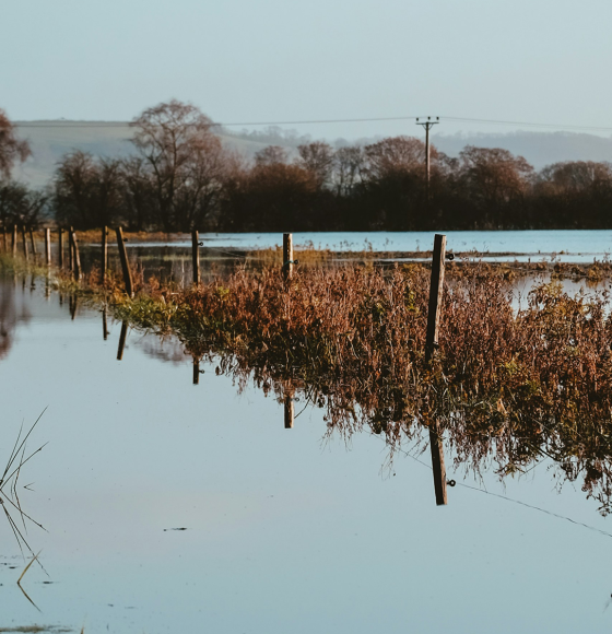
How to improve flood response with EO data?
Published on 26 June 2024
Celebrating the Success of Belgian Earth Observation Day 2024
Published on 23 May 2024
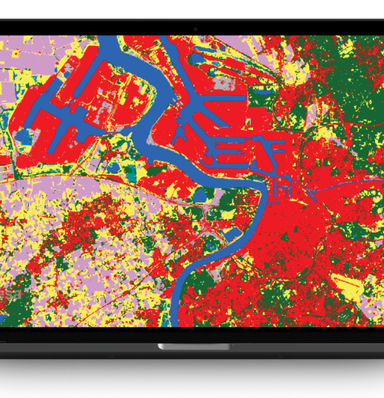
TERRASCOPE II Unveiled: Belgium Expands Its Free Satellite Imaging Services
Published on 18 April 2024
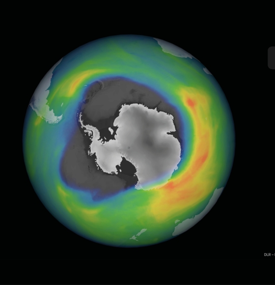
ALTIUS: the Belgian flagship mission to monitor the atmosphere
Published on 16 February 2024