Publié le 10 mars 2022
These high-resolution insights could support ground-breaking science in the areas of meteorology, oceanography and climatology. Discovered some 180 years ago, the Doppler effect describes the shift in frequency of a light or sound wave, in relation to an observer that is moving relative to its source.
The phenomenon has long been used by remote sensing experts to elucidate the behaviour of the oceans – and now a team of scientists at the Norwegian Meteorological Institute are building on this work by using Envisat synthetic aperture radar data (SAR) to test and develop an improved Doppler shift processing method. SAR uses a moving antenna that beams out radio waves to create high resolution images of Earth’s surface.
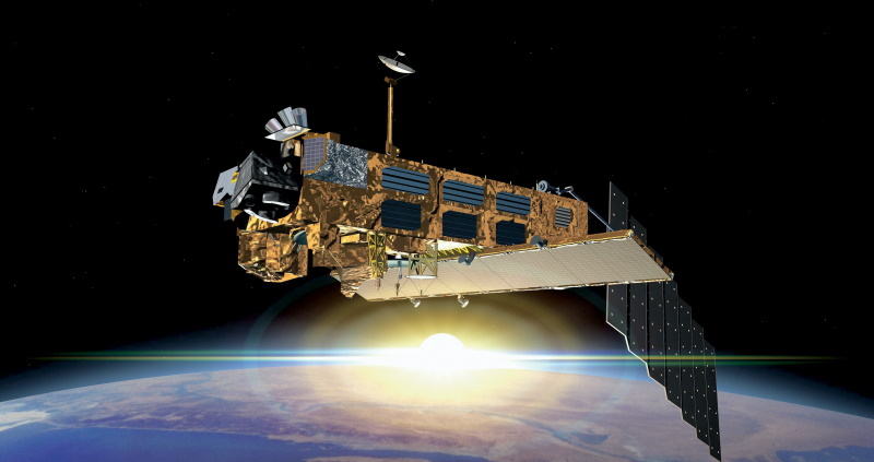
An artist’s impression of the Earth-observing Envisat satellite, which launched on 1 March 2002 onboard an Ariane 5 rocket from ESA’s Spaceport in French Guiana
When a space-borne antenna emits this radiation, an area of the planet is illuminated called the radar footprint. In theory, if Earth’s surface is static, the Doppler shift at the centre of the footprint should be zero. However, movement of the surface results in changes to the Doppler shift – and it is this information that helps scientists generate insights about ocean processes.