Publié le 9 août 2021
The Sentinel-2 satellites each carry an innovative high-resolution multispectral imager, which combined with their 290 km-wide swath and frequent revisit times, offer unprecedented views of Earth.
The mission provides information mainly for agricultural practices and for tackling the global issue of food security. Images can be used to determine leaf area chlorophyll and water content indexes, for example. These data are particularly important for effective yield prediction and applications related to Earth’s vegetation.

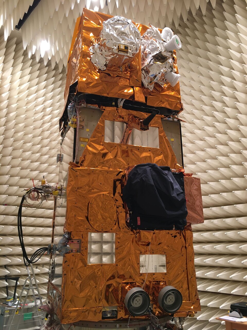
Sentinel-2C ready for electromagnetic compatibility testing
However, over the last six years, the mission’s data have also been used to monitor changes in ice sheets and glaciers, coastal erosion, deforestation, burnt land resulting from wildfires, pollution in lakes and coastal waters, and more.
The mission is based on a constellation of two identical satellites in the same orbit, 180° apart for optimal coverage and data delivery. So, when Sentinel-2A retires, Sentinel-2C will be there to take its place, and eventually Sentinel-2D will replace Sentinel-2B.
This pairing guarantees the continuation of data delivery that many Copernicus Services users now rely.