Context and objectives
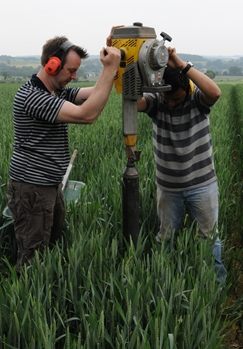
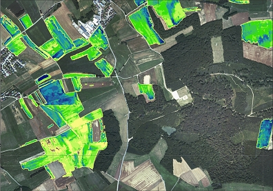
Large numbers of samples are required to obtain a correct estimate of SOC stocks in croplands. Visible and Near Infrared Reflectance spectrometry (VNIRS) techniques and in particular field and image spectroscopy have the advantage of producing soil property measurements in situ and can therefore quickly cover large areas. The aims of the project are: i) develop a methodology to represent the spatial variation of SOC within the first meter of cropland soils integrating surface data from image spectroscopy and vertical SOC gradients from VNIRS profiling; ii) evaluate the potential of the methodology based on the estimation of the SOC stocks for an entire field, and vertical SOC profiles at any point within the field.
Project outcome
The best results for topsoil SOC content were produced with the combination of spectra and geomorphic variables using the Random forests Regression + Kriging approach. This model achieved an RMSE value of 0.57 g C 100 g-1 and an R² value of 0.6 during validation on an independent set of samples. Topsoil SOC maps provide an insight in the with field variation clearly showing areas with low SOC contents. VNIR spectroscopy and spline functions proved to be a useful tool for predicting the SOC throughout the soil profiles. Exploiting the spatial dependence of the residuals of the regression based on geomorphic features, allows improving the performance of the SOC density models (R²= 0.73; RMSE=5.0 kg C m-3).
| Project leader(s): | UCL - Georges Lemaître Centre for Earth and Climate Research | |
| International partner(s) | ||
| Location: |
Region:
|
|
| Related presentations: | ||
| Related publications: | ||
| Website: | ||

