Gepubliceerd op 25 juli 2022
We can’t see them, but they’ve faithfully circled above us for 50 years. From hundreds of miles away, Landsat satellites have revealed details and secrets of the Earth’s land that we miss standing on its very surface. They provide information to help us help ourselves, as we fight the risk of threats such as heat waves and wildfires and strive to manage resources like diminishing water supplies.
 After the launch of the first experimental Landsat satellite in July 1972, scientists and researchers around the world marveled at what they could see in images produced from the satellite data and distributed from the USGS Earth Resources Observation and Science (EROS) Center in Sioux Falls, South Dakota. But more than that, they and their EROS colleagues began to apply what they learned to the puzzles and problems faced by our planet—and its inhabitants.
Today, the joint USGS-NASA program’s satellites Landsat 8, launched in 2013, and Landsat 9, launched in 2021, orbit the Earth opposite each other, together capturing images of each part of the land surface every 8 days. They carry on the legacy of their predecessors, with enhanced sensor technology that captures more visible and invisible wavelengths of light that can be combined to create meaningful digital images.

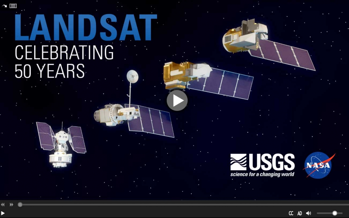
We're celebrating 50 years of the Landsat satellite, the first of which launched on July 23, 1972. The latest in the series, Landsat 9, launched in September 2021. Landsat shows us Earth from space. For 50 years, the mission has collected data on the forests, farms, urban areas and freshwater of our home planet, generating the longest continuous record of its kind. Decision makers from across the globe use freely available Landsat data to better understand environmental change, manage agricultural practices, allocate scarce water resources, respond to natural disasters and more.
This natural color image of Eleuthera Island, the Bahamas, was taken by Landsat 9 on January 18, 2022. Between Landsat 8 and Landsat 9, the Landsat program delivers complete coverage of the Earth’s surface every eight days.
Image Credit: Michelle Bouchard using Landsat data from USGS
Landsat 8 and Landsat 9 add to the unrivaled free archive available from EROS. This archive is treasured for its consistency, reliability, and capacity to explore changes in the past that can help us plan for a better future.
Similar to global positioning system and weather data, everyone’s life has somehow been touched by Landsat.
Read the full article on the USGS website
More information
A Planetary Sage: Landsat at 50
Landsat Legacy: NASA-USGS Program Observing Earth from Space Turns 50
Landsat, le tout premier programme d'observation de la Terre, fête ses 45 ans
Landsat, het allereerste aardobservatieprogramma, viert zijn 45ste verjaardag