Gepubliceerd op 13 oktober 2020
On Wednesday 23 September 2020, Norway's Ministry of Climate and Environment entered into a contract worth up to NOK 400 million (approx. 37 MEUR) with Kongsberg Satellite Services (KSAT) and its partners Airbus and Planet Labs, to provide universal access to high-resolution satellite monitoring of the tropics in order to support efforts to stop the destruction of the world’s rainforests.
"This will revolutionize global forest monitoring. Better insight into what is happening in the rainforests will enhance efforts to protect these priceless ecosystems," says Sveinung Rotevatn, Norway’s Minister of Climate and Environment.
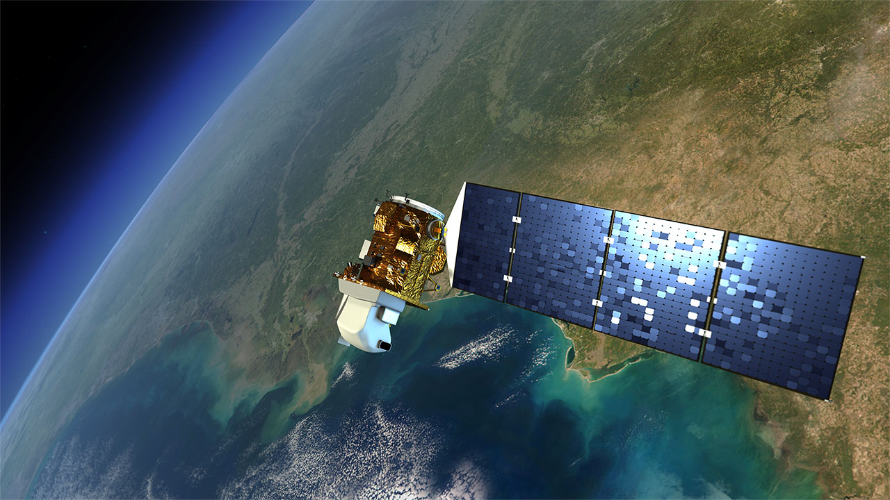
Satellite images are available that are so detailed that one can see if a single tree has been cut down. However, such images are very expensive, and only a few private stakeholders have access to them. Through Norway’s International Climate and Forest Initiative (NICFI), the Government of Norway is now making the images accessible and free for everyone.