Published on 16 February 2024
Monitoring changes in the ozone layer, as well as those in other atmospheric gases, is crucial. Despite the measures taken over the last 35 years to protect it, it will take several decades before the Antarctic ozone hole is replenished. The ALTIUS mission, initiated by Belgium, will ensure the continuity of these essential observations from 2026.
A very slow recovery
Older people will easily remember the media hype that followed the discovery of a hole in the ozone layer in the 1980s. Scientists were sounding the alarm: our human activities, in this case the emission into the atmosphere of gases used in refrigeration systems and aerosols sprays since the 1930s, were causing the destruction of the protective shield of life on Earth.
This discovery opened the world’s eyes to the global effects of human activity on the atmosphere. The international community reacted by rapidly deciding to phase out the production of the blamed chemicals, chlorofluorocarbons (CFCs) and other substances such as halons, by adopting the Montreal Protocol in 1987.
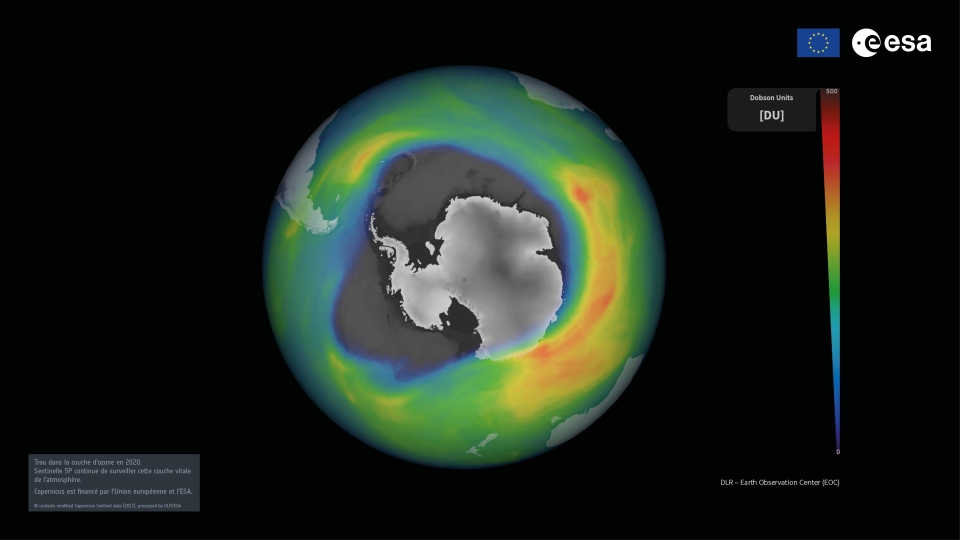
Ozone hole in 2020 - Sentinel 5P data - © contains modified Copernicus Sentinel data (2017), processed by DLR/ESA.
Despite the bans, the ozone hole is still there, even if media attention has now shifted to other effects of human activity. The recovery process has been very slow, mainly because CFCs and halons can persist in the atmosphere for several decades. Experts therefore estimate that the hole over Antarctica will only close again between 2050 and 2060.
What is the ozone hole?About 90% of total atmospheric ozone (O3) is located in the stratosphere, i.e. the atmospheric layer that extends between approximately 10 km and 50 km above the Earth's surface. This stratospheric ozone is commonly referred to as the "ozone layer" and forms a real shield between the Earth and the Sun. By absorbing most of the Sun's ultraviolet (UV) radiation, it protects all life on Earth from the harmful effects (mutagenic effects for plants and animals by altering DNA) of excessive exposure to these short-wave rays.The "ozone hole" is not, of course, a real "hole" in the atmosphere. It refers to a continent-wide area located above Antarctica, where the ozone layer is dramatically thinning every austral spring. This is caused by substances such as CFCs, which are mostly inert in the lower atmosphere, but which, at higher altitudes are broken down by UV light into highly reactive halogens (chlorine and bromine) that catalyse the destruction of ozone. At the South Pole, the very low temperatures reached in the polar night provides the conditions for high altitude clouds to form, where the conversion of the CFCs is made even more effective. The phenomenon is also reinforced by the so-called polar vortex, which isolates the area and prevents the replacement of destroyed ozone by ozone from lower latitudes. |
Ensuring continuity of observations
The destruction of the ozone layer was first observed by a ground-based instrument in Antarctica in the early 1980s, and then confirmed by satellite observations using the Total Ozone Mapping Spectrometer (TOMS).
For more than 40 years, several satellite instruments have been used to observe the spatial distribution of atmospheric components. This is the case, in particular, of the TROPOMI instrument, an imaging spectrometer covering wavelength bands from ultraviolet to shortwave, on board the Sentinel-5P satellite developed by the European Space Agency (ESA) for the European Commission.
Satellite instruments play a crucial role as they provide an independent and constant means of monitoring changes in the ozone layer, whereas in situ measurements on a continent like Antarctica are really complicated and expensive.
Given the size of the ozone hole, satellites also have the great advantage of providing daily coverage of vast areas of the Earth, whereas in situ measurements are only spotty. They also make it possible to monitor variations in ozone and other gases in the atmosphere at different altitudes.
However, most of these satellite instruments are at the end of their lifetime or are not taking advantage of the latest technological developments. In the near future, we could well be faced with a shortage of instruments, which would jeopardise the continuity of observations.
THE ALTIUS MISSION, Belgian and innovative
![]()
Aware of the essential need to ensure this continuity, the 'Limb Sounding' group at the Royal Belgian Institute for Space Aeronomy (BIRA-IASB) initiated the scientific development of an instrument called ALTIUS (Atmospheric Limb Tracker for the Investigation of the Upcoming Stratosphere). After several years of preparation and discussions with ESA, the team convinced BELSPO to support its development.
In 2016, Belgium and ESA decided to launch the construction of the satellite as an "Earth-Watch" mission, which means that the operational ozone data provided by the instrument will be made available to the user community within 3 hours of the measurements.
Why is ALTIUS innovative?
|
ALTIUS is funded at 94% by Belgium with contributions from Canada, Luxembourg and Romania. The different components of the mission are currently under development, with Belgian partners playing a crucial role. The satellite is designed and built by a consortium of companies led by Redwire Space (Antwerp). OIP Sensor Systems (Oudenaarde) is the prime contractor for the instrument. The ground segment for data processing is developed by a consortium led by Spacebel (Liège and Hoeilaart).
ALTIUS is due to be launched in 2026, and we'll for sure keep you posted as soon as the satellite is operational.
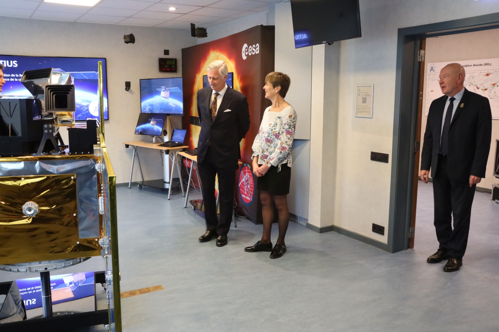
Martine De Mazière, Director of BIRA-IASB, introducing the Institute to the King of Belgium. Credit: Pierre Gerard (BIRA-IASB)
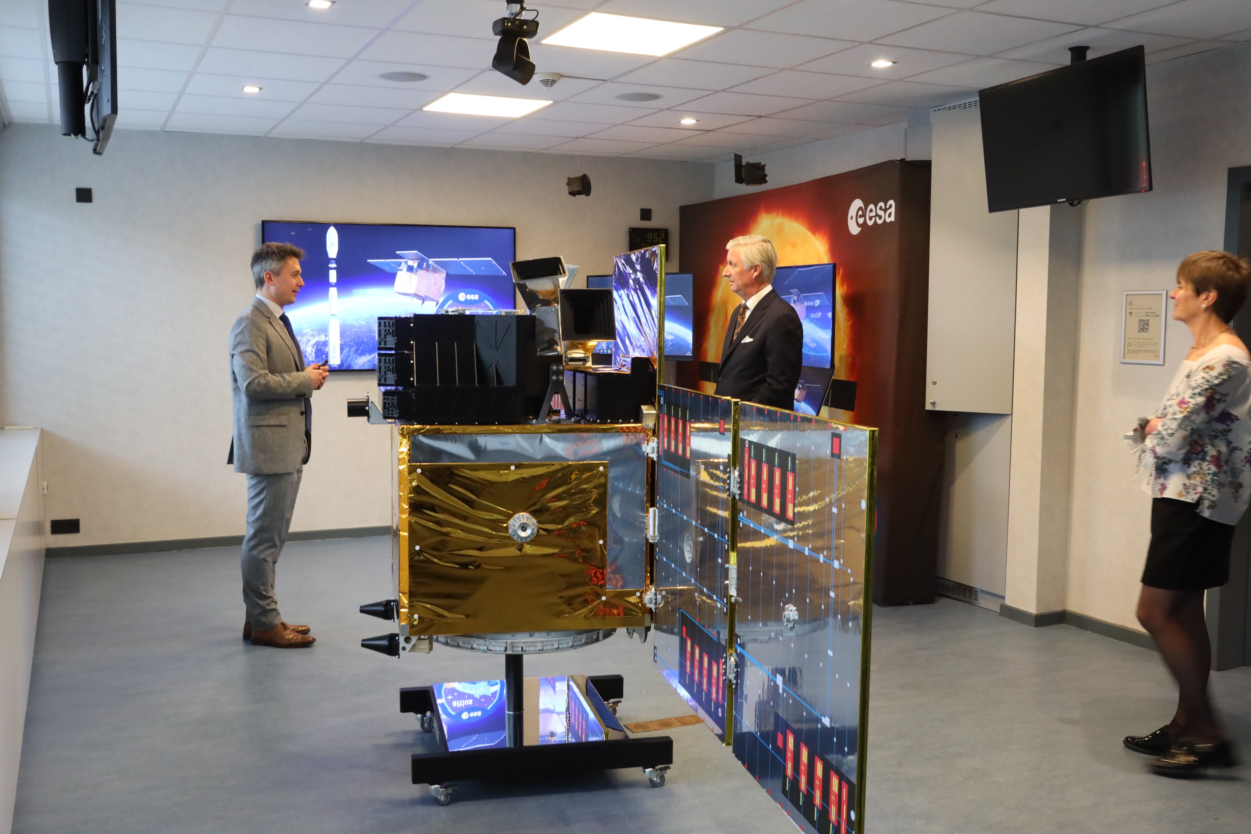
BIRA-IASB scientist Emmanuel Dekemper explains to the King the importance of the ALTIUS space mission for monitoring the ozone layer. Credit: Pierre Gerard (BIRA-IASB)
Royal attention
The ALTIUS team at BIRA-IASB is also very busy with the development of algorithms and processing chains capable of translating the information transmitted by the satellite to the processing centre into useful data for end users. BIRA-IASB is responsible for most of the scientific exploitation of the mission. Emmanuel Dekemper, now head of the ALTIUS team, recently had the opportunity to present the ALTIUS mission to His Majesty King Philippe of Belgium, who was visiting the BIRA-IASB facilities.
More information
ALTIUS: a mission for the environment, an opportunity for Belgian actors