Context and objectives
![]()
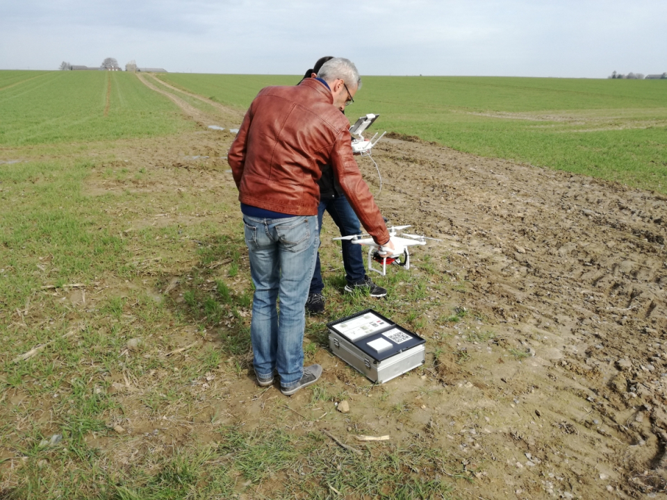
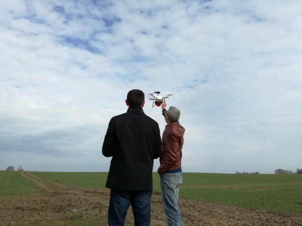
Currently, croplands receive broadcasted applications of fertilisers, herbicides, irrigation and seeds, while soil properties and crop conditions can vary considerably over space and time within a single field. Lightweight spectrometers mounted on drones are promising for monitoring soil properties such as soil organic carbon (SOC), nitrogen (N), phosphorous, exchangeable cations, pH or soil texture and at the same time crop growth throughout the growing season.
This project aims at testing the potential of air- and UAV- borne spectral sensors to produce parameters for explaining yield variations through input of up-to-date and high-resolution soil variables with a perspective to improve yield prediction and optimization.
Project outcome
Scientific results
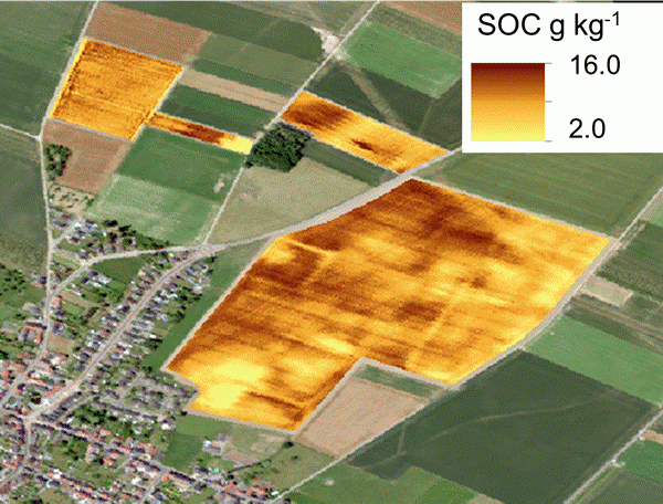
The spatial patterns of crop growth (red edge NDVI) are rather constant over time and their correlation with yield is similar along the growing season (r≃0.7). Soil properties explain between 87 % (mid-March) to 78 % (mid- May) of the variance in RENDVI throughout the growing season as well as 66 % of the variance in yield. pH and exchangeable are the most significant factors explaining from 15 to 26 % of the variance in crop growth. In the future, site-specific management based on soil and crop growth patterns will contribute to reducing fertilizer inputs.
The model developed from the spectral library was capable of predicting the SOC contents using the spectra from the UAV-borne FX sensor. However, the difference between spectra of a same sample acquired under different set-ups is too large, precluding a calibration developed from a soil spectral library to be directly applied on a UAV dataset. The way to deal with the gap is using an internal soil standard (ISS) to align the measurements and minimize the bias. Unfortunately, this correction is not sufficient for the difference between proximal (c. 10 cm) and airborne (c. 15 m) acquisition. Therefore, an additional correction is needed for the scale issue. This last step involves one proximal observation and one mid-air observation from the same location, which can be done during the UAV takeoff phase.
Societal (including environmental) relevance
Currently, croplands under conventional management receive broadcasted applications of fertilisers, herbicides, irrigation and seeds, while it has been shown that soil properties and crop conditions can vary considerably over space and time within a single field. In order to secure food supplies for future generations, expected amounts and quality of agricultural products, intensive but environmentally safe production, and sustainability of the resources involved are required. To meet these ends, precision agriculture emerged as a way to apply the right treatment type and amount in the right place at the right time.
Products and services
The project is still at research stage.
Potential users
Agricultural consultancy, farmers adopting precision agriculture.
Outreach
UAVSoil: Using drones to optimize agricultural plot management
UAVSoil: Drones inzetten om het beheer van landbouwpercelen te optimaliseren
UAVSoil : Des drones pour optimiser la gestion des parcelles agricoles
| Project leader(s): | UCL - Earth and Life Institute, Climate | |||
| Belgian partner(s) |
|
|||
| International partner(s) |
|
|||
| Location: |
Country:
|
|||
| Related presentations: | ||||
| Website: | http://www.cra.wallonie.be/fr/2017/9/uavsoil | |||