Published on 7 February 2019
MAUPP (Modelling and forecasting African Urban Population Patterns for vulnerability and health assessments) is a STEREO III research project whose main objective is to develop models and forecasts to improve our knowledge of sub-Saharan urban population patterns for a wider usage of urban population distribution datasets in vulnerability and health assessments.
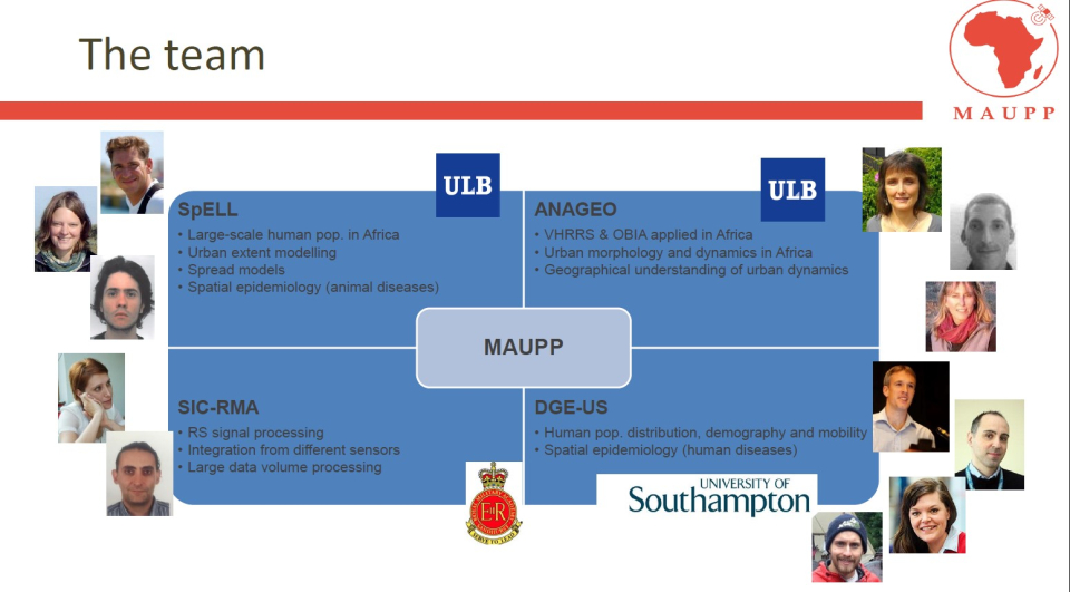
MAUPP is a thematic project which started in October 2014 and will reach its end next March. It engages a foreign partner, Andy Tatem from the 'Department of Geography and Environment' of the University of Southampton, UK. His group is leading the Worldpop project, aimed at providing high spatial resolution and contemporary data on urban human population distributions in countries under development. The knowledge and the work performed by Andy's group were a cornerstone and a unique contribution to the project.
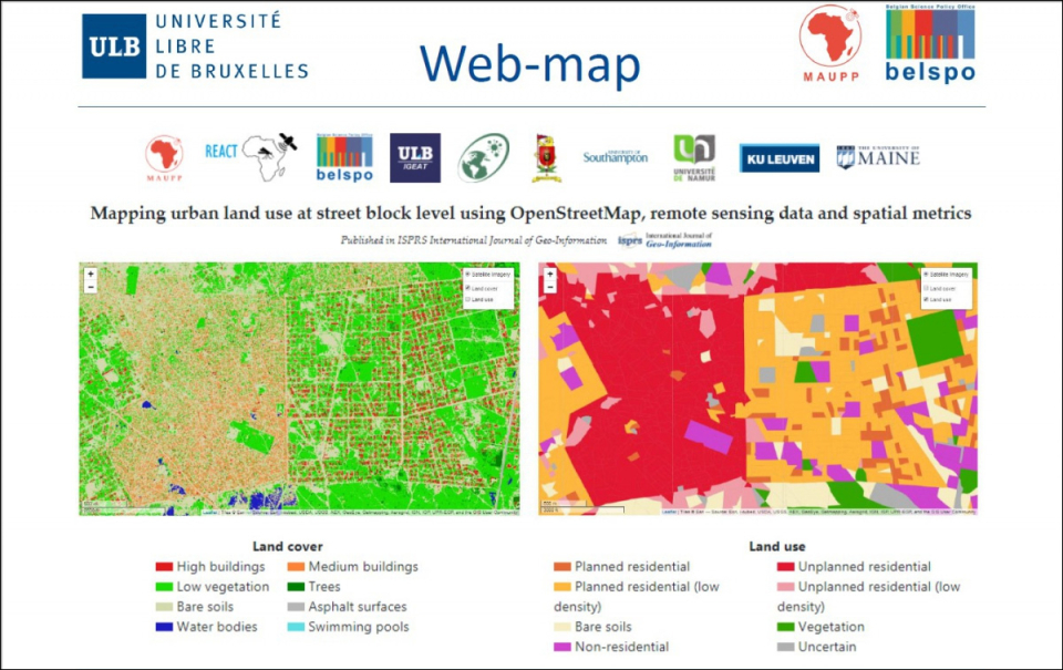
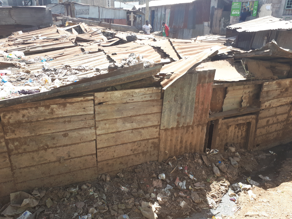
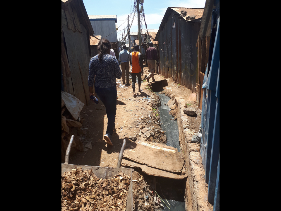
Mapping urban land use at street block level
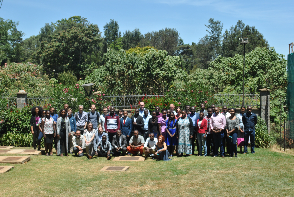
Like all STEREO projects, MAUPP was supervised by a steering committee composed of experts internationally famous in the domain of intra-urban mapping and modeling. The last meeting of this steering committee was organized at the end of January in Nairobi.
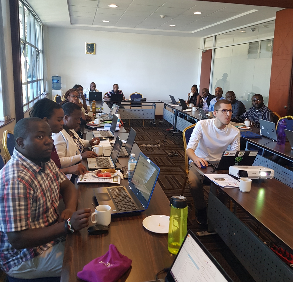
Along with this meeting, a conference and a workshop were organized in order to present the results to the end-users, as well as to transfer part of the knowledge gained during this exciting research to local stakeholders.
Why go to Kenya to hold these meetings?
The events were organized within the African Population and Health Research Center, which aims to generate data, build research capacity and participate in public policy in Africa for the health and well-being of the population
Nairobi also hosts the UN-habitat Headquarter for Africa, the United Nations programme working towards a better urban future.
Participation included not just urban planners and other interested users coming from these two big institutions, but also actors from other national and regional institutions in Kenya and surrounding countries . The goal of this conference was to present the achievements of the MAUPP project in term of Land use & Land cover intra-urban mapping in African cities with optical and radar data. The presentations are available on the project website.
More than 30 people also received a 3-hour training on the use of remote sensing data. The methods were developed using open-source solutions and are freely available on the project website.
What's next?
Another workshop will be organized next summer in Dakar for French speaking users active in the region.
The University of Southampton already tested the technics developed in the frame of the project and will continue to use MAUPP’s results in the Worldpop project.
A spin-off of this project called REACT is already on-going and financed by STEREO III.