Published on 17 June 2019
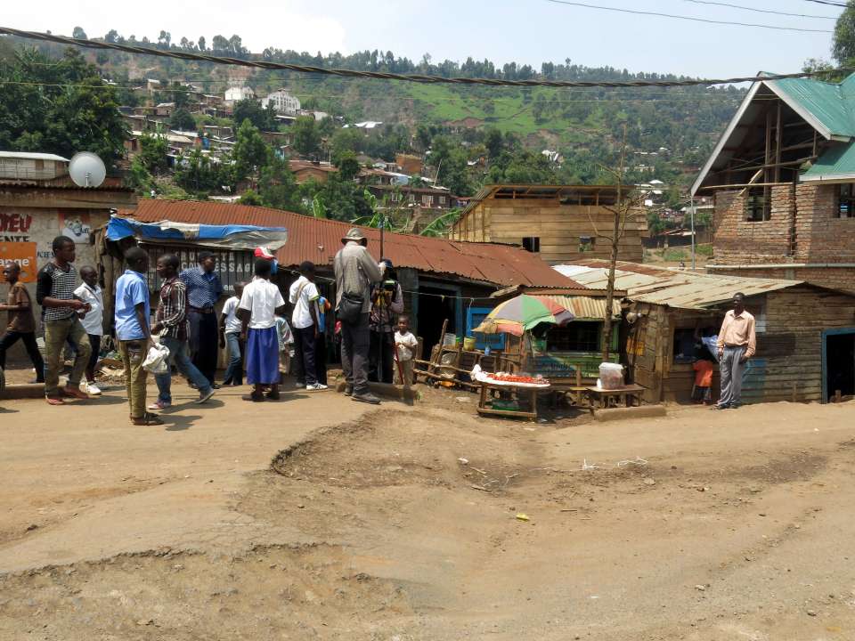
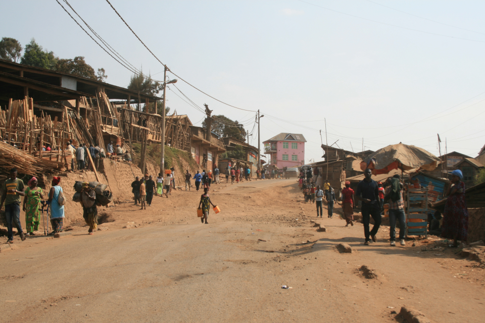
Bukavu is located on the western shore of Lake Kivu in the Democratic Republic of Congo. As the capital of the South Kivu province, it is one of the most densely populated cities in the country.
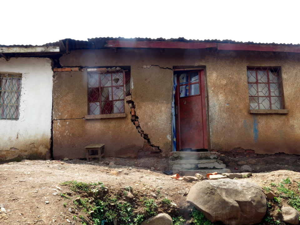
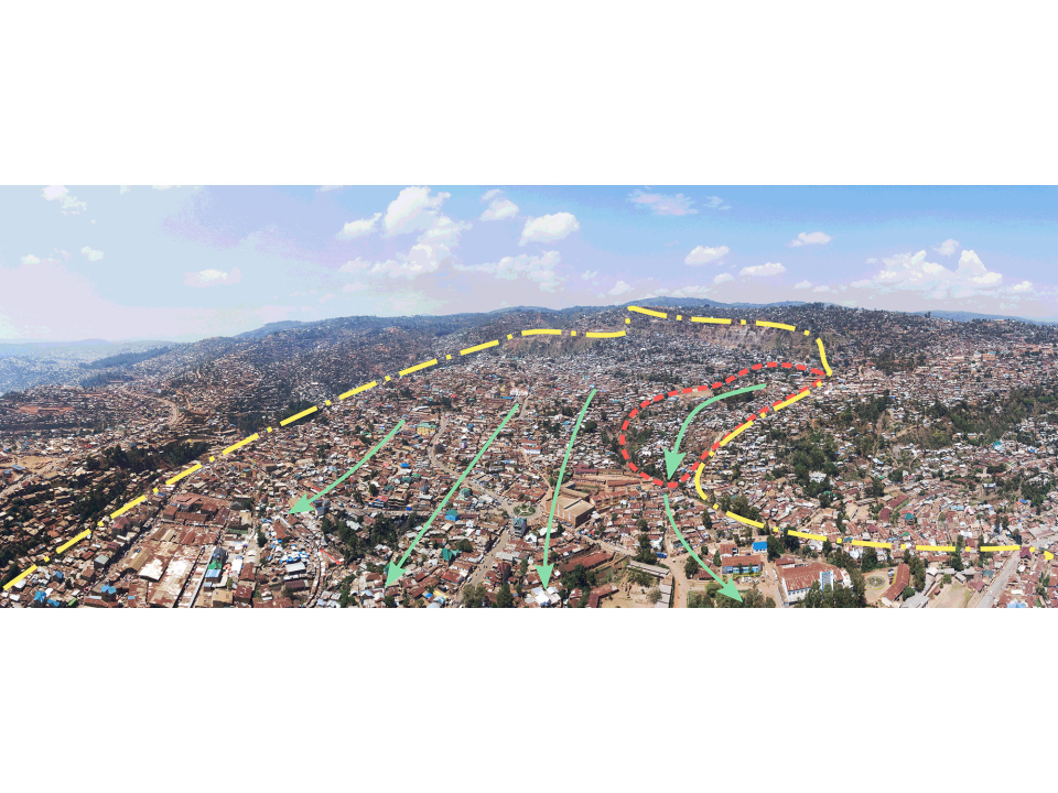
In the centre of the city, an area of about 150 ha has been in constant movement for thousands of years. It is Funu, a large landslide that slowly but tirelessly keeps progressing.
Today, about 80,000 people live there despite the constant danger. The land displacement, which in places can reach a few metres per year, destabilises and destroys housing and infrastructure.
The MODUS project team, funded by the STEREO III programme, has taken on the challenge of better understanding how these landslides evolve and how they respond to environmental stresses, whether natural or human-induced.

Evolution of the built-up area in and around the Funu Bukavu area from 1959 to 2018
The researchers have been monitoring the kinematics of the landslide for several decades using satellite data. Among the first results of the project, they produced animations that describe the evolution of the landslide over the past 60 years. They show a sharp increase in housing density at the end of the last century, directly linked to the insecurity in the region in the mid-1990s, which led to an exodus from rural areas to the cities. This demographic boom also corresponds to a period of increased landslide activity.
The results of the project are expected to improve disaster prediction geographically as well as spatially and temporally and to help local managers take action to reduce their impact.