Published on 25 August 2020
The North Tanganyika-Kivu Rift region in the East African Rift is one of the most exposed places to landslide hazard. Every rainy season triggers landslides across this highly-populated tropical environment. Despite the very often disastrous consequences of these landslides, very little is known about the rainfall characteristics that are associated with their occurrence. In addition, tools and methods for appropriate landslide hazard assessment adapted to the data-scarcity context of such a region are absent.

Several landslides (non-vegetated scars in the background) were triggered by intense rain on May 6, 2018 in Rwanda, killing 18 people and destroying dozens of houses.
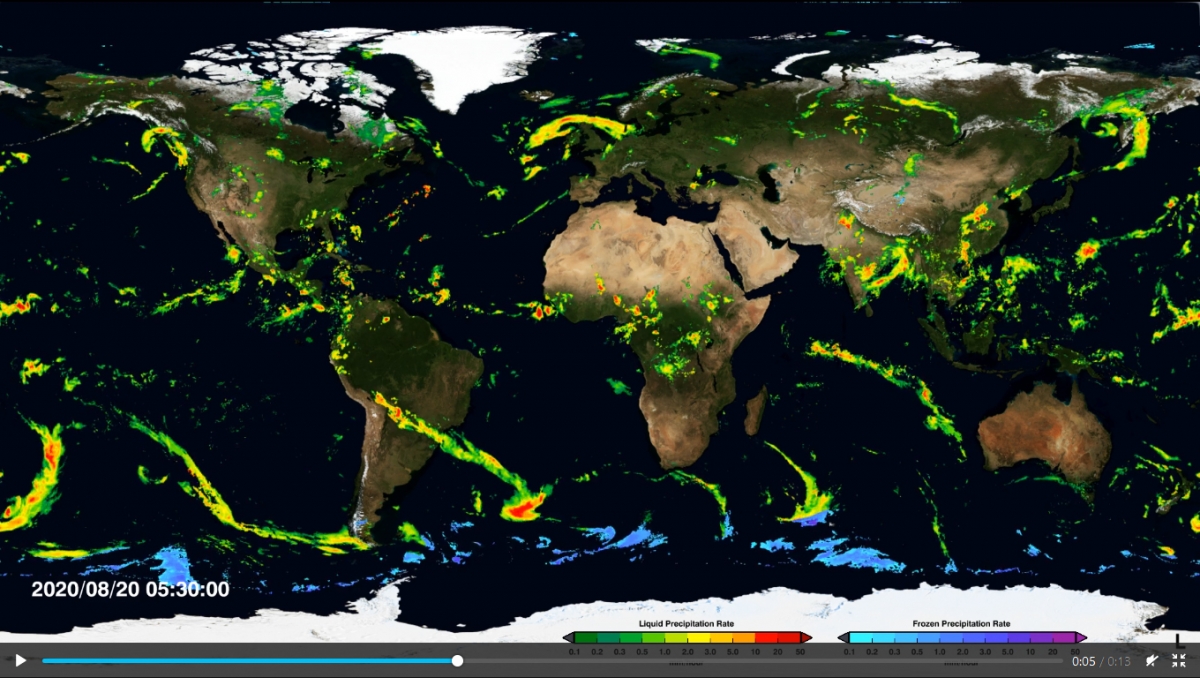
Funded by the STEREO III programme, the RESIST project aims to characterize the mechanisms behind these landslides in order to be able to detect the precursor signals. The project team combines historical surveys, field data from arrays of ground instruments and Earth Observation data, including InSAR time series and data from the Tropical Rainfall Measuring Mission (TRMM).
|
The team, in close collaboration with universities and local research institutes in Burundi, DR Congo, Rwanda and Uganda, drew up a regional inventory of landslides and established an unprecedented register of rainfall data for validation of satellite rainfall estimates.
They compiled landslides over nearly 50 years, from 1968 to 2016, and the data, royalty-free, is listed in NASA's Global Landslide Catalog.
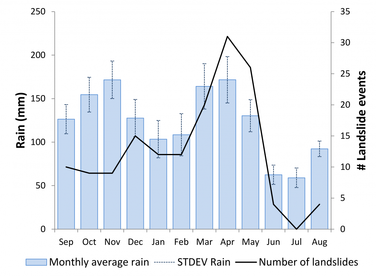
Rainfall seasonality and distribution of the dated landslide events over the last two decades. The monthly rainfall is based on 2000–2019 daily rainfall data from IMERG (Integrated Multi-satellitE Retrievals for GPM) averaged over the study area.
The analysis of all these data made it possible to calibrate the first regional precipitation thresholds for Central Africa, fundamental tools for characterizing the risk of landslides. To this end, a new statistical approach to thresholds based on the relationship between precipitation and the spatial distribution of landslides has been developed.
This research lays the groundwork for the development of an early warning system for landslides based on near real-time satellite rainfall data. Such a system would ultimately reduce the risks associated with landslides in the region.
More information
STEREO project RESIST (REmote Sensing and In Situ detection and Tracking of geohazards)
Sentinel Success Story on the ESA website: Copernicus Sentinel-1 used to better understand active volcanic areas and landslide mechanisms