Published on 18 April 2024
In late 2023, the government greenlit the TERRASCOPE II programme at the behest of the State Secretary for Science Policy Thomas Dermine. TERRASCOPE is a platform designed to provide Belgian users easy access to non-commercial satellite images, derived information products and earth observation services, all free of charge. Its operations are now secured until the end of 2028.
Building upon a long heritage
Belgium has a longstanding strategy to develop expertise and capacity in earth observation data processing. In 1998, as part of international cooperation agreement with France, the EU, Sweden and Italy, a centre for processing, distribution and archiving of SPOT VEGETATION images was established at VITO (Flemish institute for technological research), at the initiative of the Federal Science Policy Office (formerly OSTC - Federal Office for Scientific, Technical and Cultural Affairs). VEGETATION was the name of satellite sensors which successfully monitored the Earth’s vegetation daily for 16 years.
Originally named CVB (Centrum voor beeldverwerking [Centre for Image Processing]), the centre evolved into a multi-mission data processing platform. Continuity in daily global vegetation monitoring of global vegetation was ensured until 2021 with the launch of the Belgian PROBA-V satellite in 2013. By then, CVB’s expertise in earth observation was internationally recognised.
Enter Europe
Meanwhile, the European Union had long sought a global, continuous, autonomous, high-quality earth observation capacity. The aim was to provide accurate, timely and easily accessible information to improve environmental management, understand and mitigate climate change effects, ensure civil security, and bolster Europe’s leadership in space-based applications.
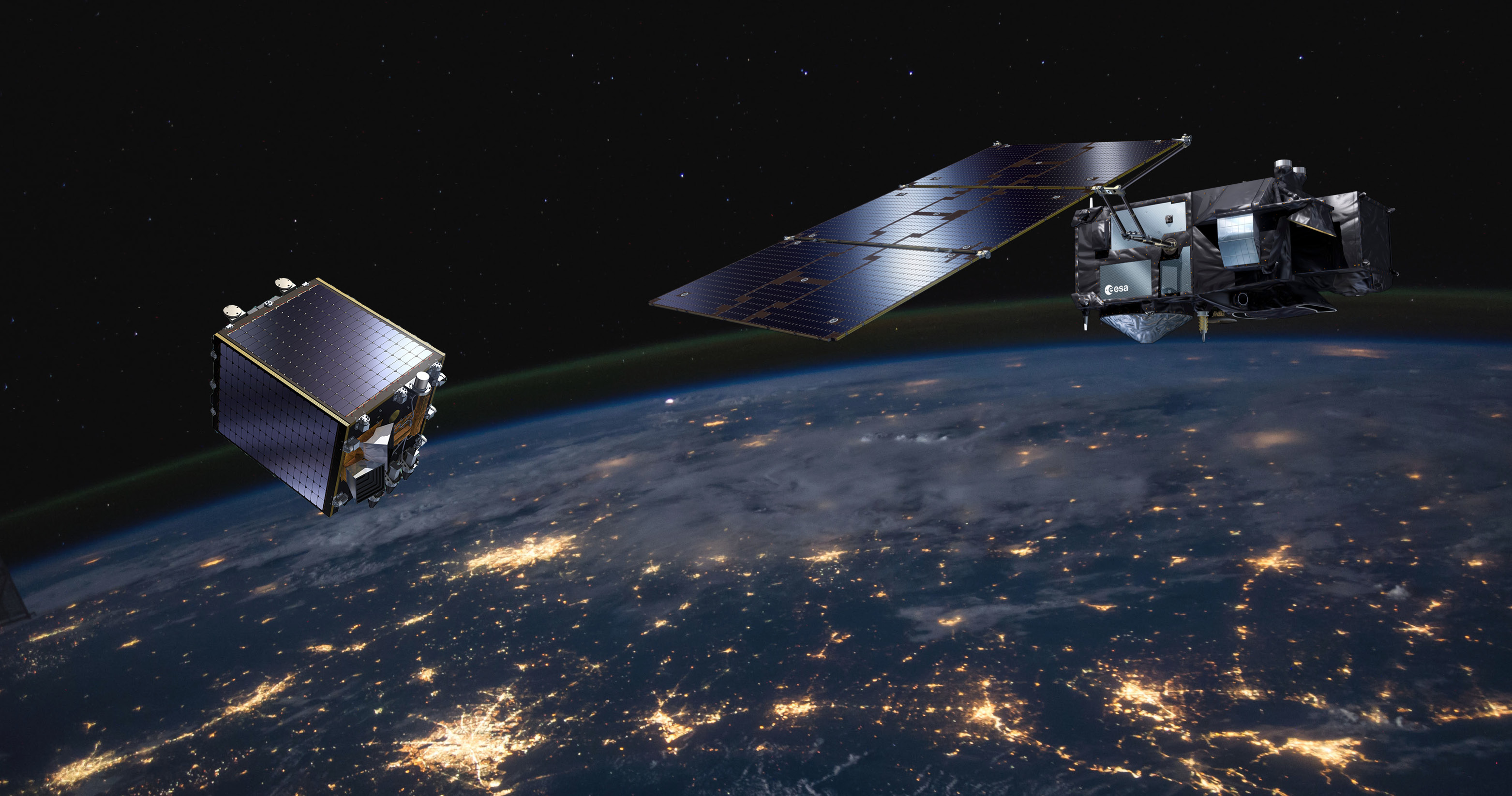
Through its Copernicus Earth observation programme, a series of Sentinel satellites have been launched since 2014 to monitor and understand Earth's environment from space.
A Belgian collaborative ground segment
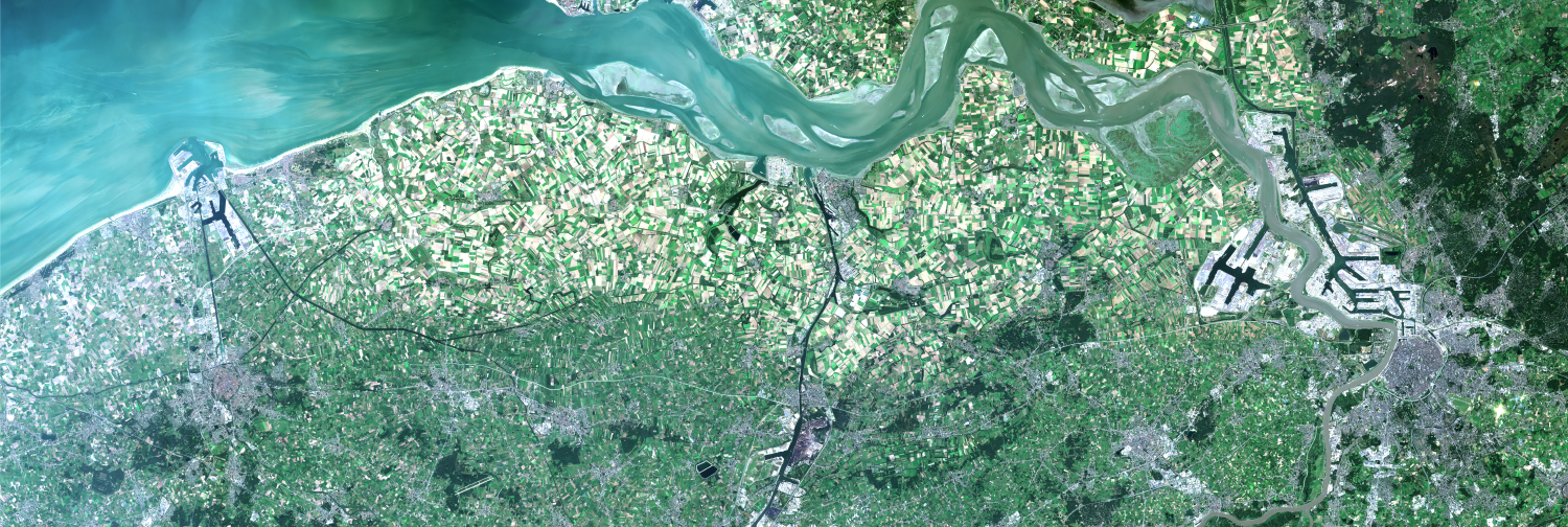
The Sentinel programme is generating a vast amount of data. Managing and distributing these data in a timely manner, while catering to diverse user needs, is challenging. Hence, collaborative ground segments were set up in European member states to accommodate national users’ needs and tailor data products to national territories, free of charge.
CVB was designated as Belgium’s Collaborative Ground Segment in 2017 due to its internationally acclaimed expertise and existing infrastructure, providing easy and timely access to Copernicus data to a broad Belgian public and beyond and was subsequently named TERRASCOPE.
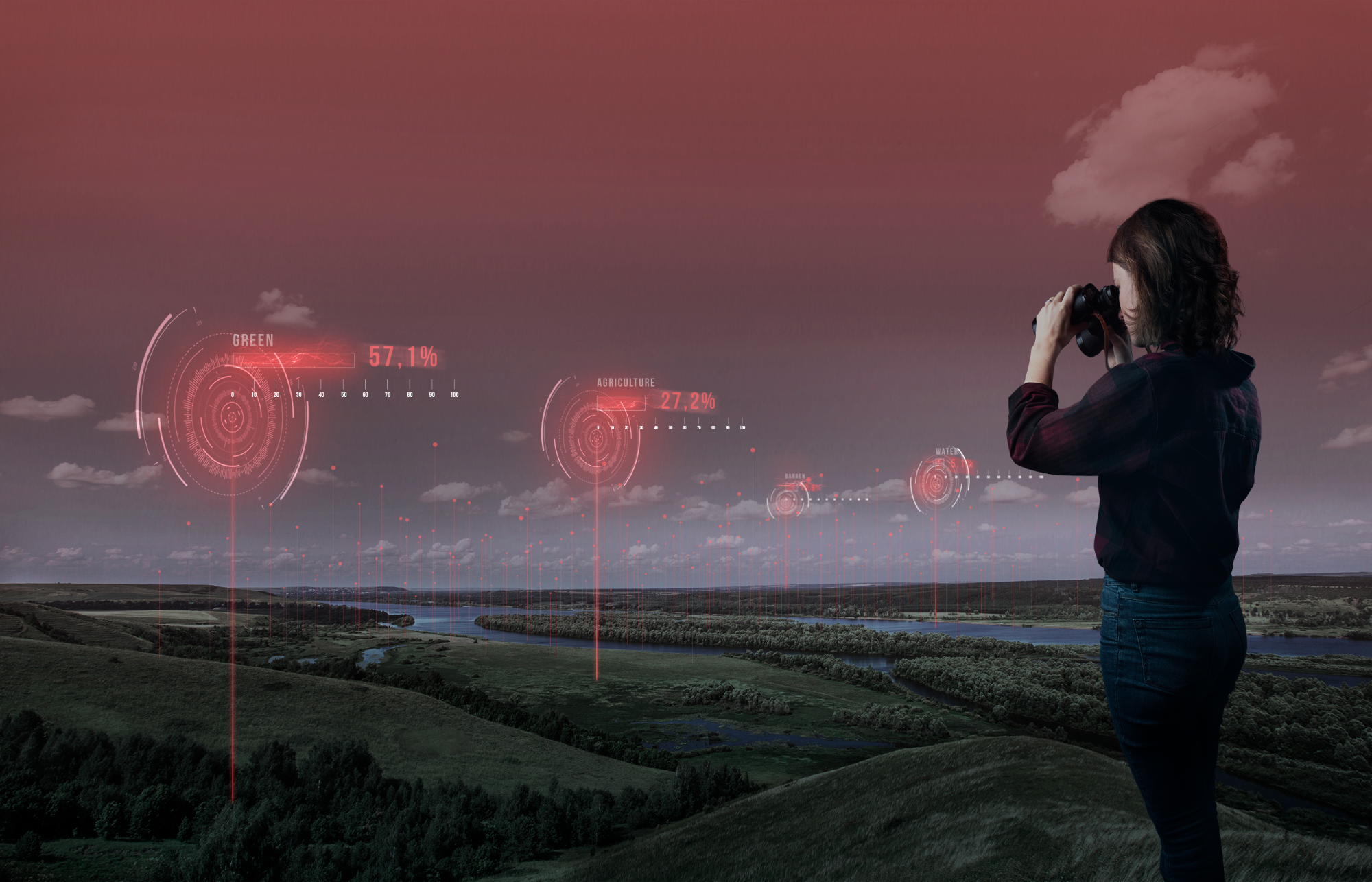
What does TERRASCOPE offer?
With over 15,000 registered users, TERRASCOPE is Europe’s most active collaborative ground segment.
Users can access:
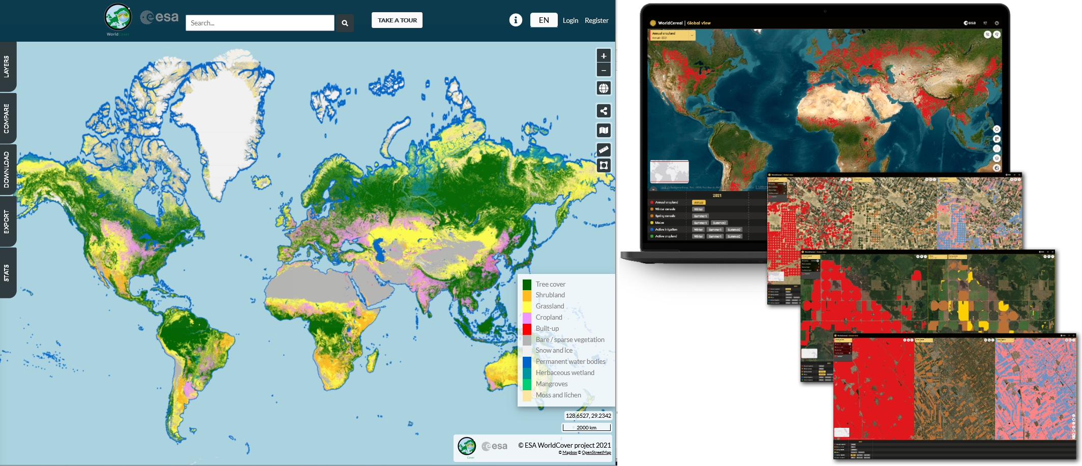
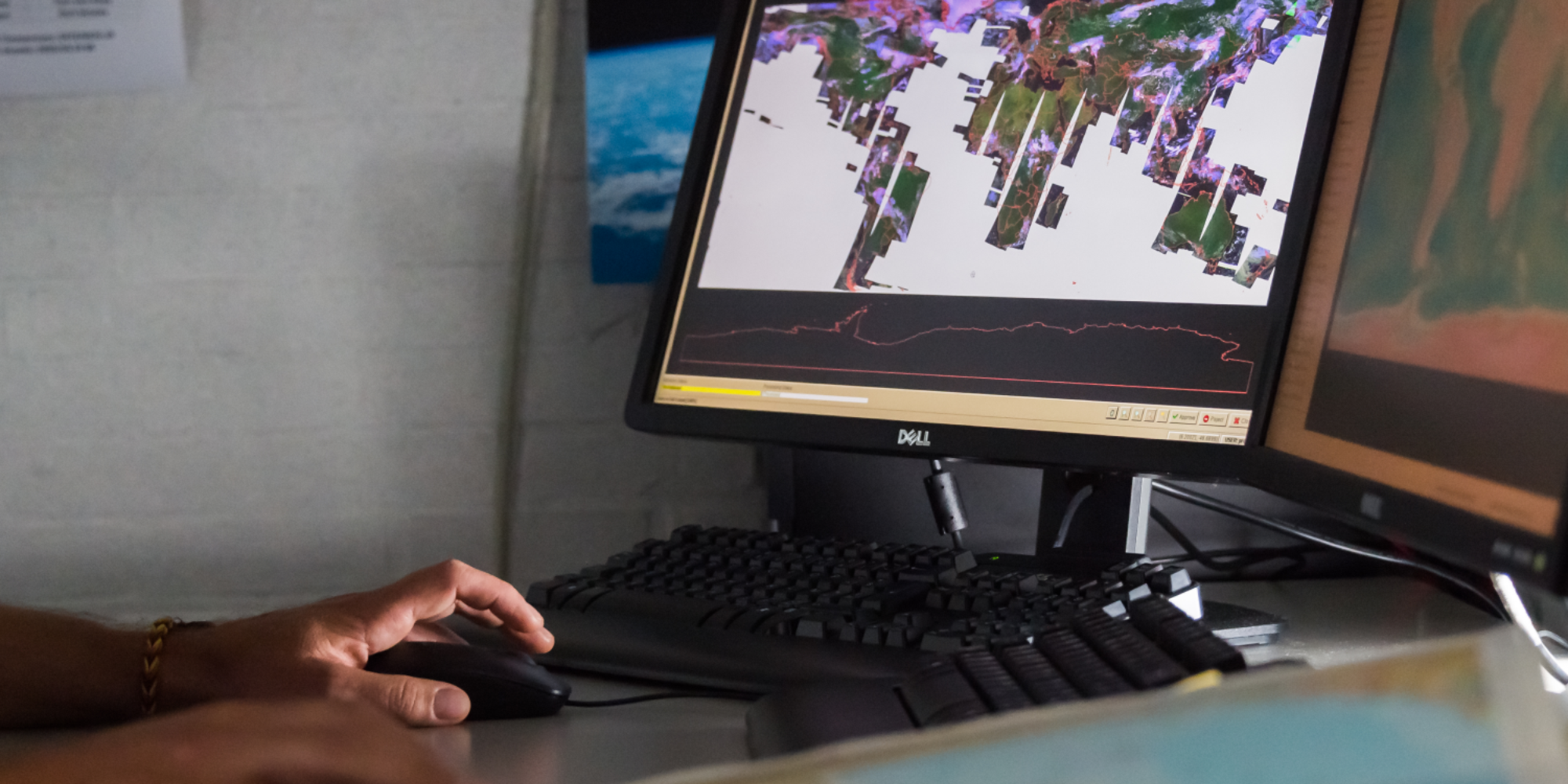
- A wide variety of scientifically validated Earth Observation data and derived products, including heritage SPOT Vegetation and PROBA-V data, and unique data sets such as ESA WorldCover and ESA WorldCereal. Data is available for download and users can also access relevant data or products via web services, visualise them or track indicators over time. Cloud processing facilities allow users to process the data and then download the results without having to download the original satellite data.
- Use cases demonstrating how satellite data can address real-world problems.
- Open access to on-demand earth observation algorithms through EOplaza, enabling users to develop services based on TERRASCOPE data, share them with the community and potentially generate revenue from commercial use.

A European system
TERRASCOPE is part of the European OpenEO initiative, aimed at standardizing and facilitating access to Earth observation and analysis processes. In addition, TERRASCOPE is linked to the Copernicus Data Space Ecosystem, which replaced all existing European Copernicus access hubs in November 2023. It offers data from all Copernicus Sentinel missions, Copernicus Contributing Missions and federated datasets (https://dataspace.copernicus.eu).
What the future holds
Over the next 5 years, TERRASCOPE will solidify its place within the European autonomous imaging capacity by:
- Continuously exploring state-of-the art technology and innovations, including integrating AI for data analysis.
- Expanding its product and service portfolio.
- Collaborating with additional data repositories.
- Tailoring use cases to national priorities.
- Increasing satellite image usage and user engagement, particularly with local and regional communities, to demonstrate potential of Earth observation data and services. This includes cooperation with Belgian federal scientific institutes to realize the goals of the European Commission’s Green Transition.