GAMES
|
Altius - The O3 retrieval game
|
|
STEREO PROJECTS VIDEOS
STEREO PROGRAMME Watch these two videos below to discover in a few minutes what the STEREO programme is and get an overview of some applications covered by the research funded by the STEREO programme.
FEATURED VIDEOS
Source: ESAAmong the news items published on this site, you'll find below commented satellite images, webstories explaining the why and how of STEREO projects, press articles and interviews of our researchers, and videos of our partners. Browse through them below by choosing the type of news or by selecting a tag. |

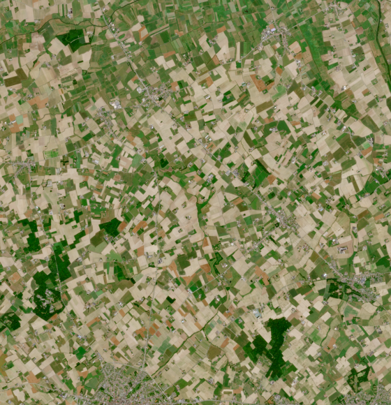
Climate-resilient agriculture in Flanders
Published on 19 July 2023
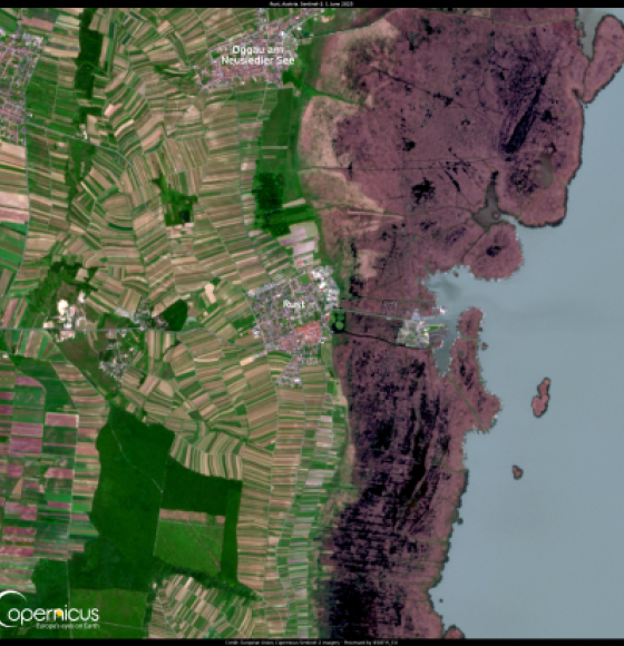
The effects of climate change are changing Austria's wine industry
Published on 8 June 2023
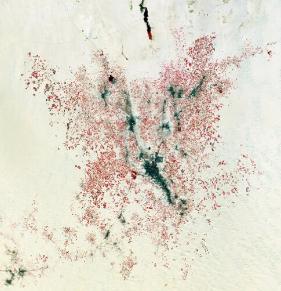
Earth from Space: Farming the desert
Published on 5 May 2023
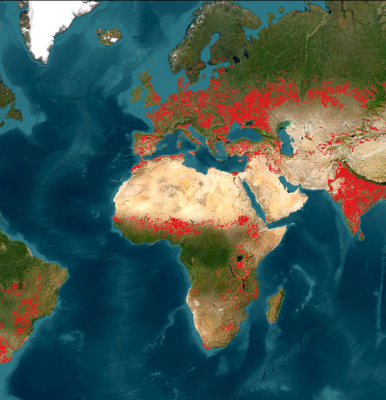
WorldCereal Releases Global Seasonal Crop Type Maps
Published on 21 April 2023
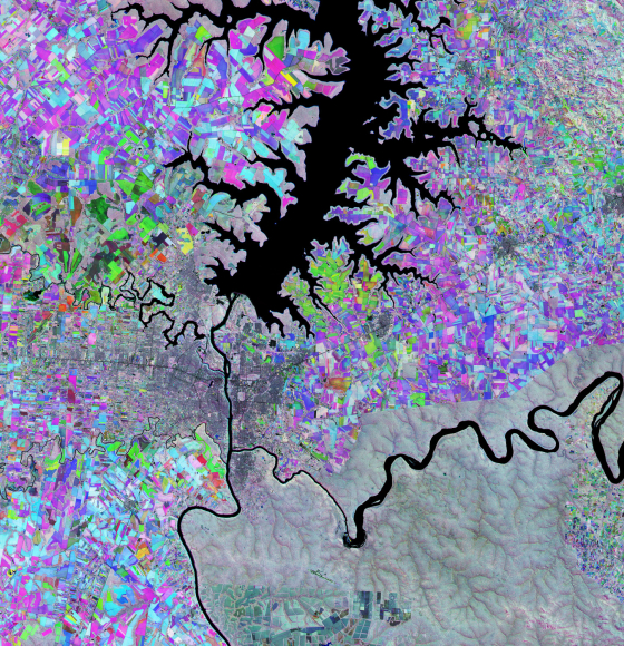
Earth from Space: The Triple Frontier
Published on 24 February 2023
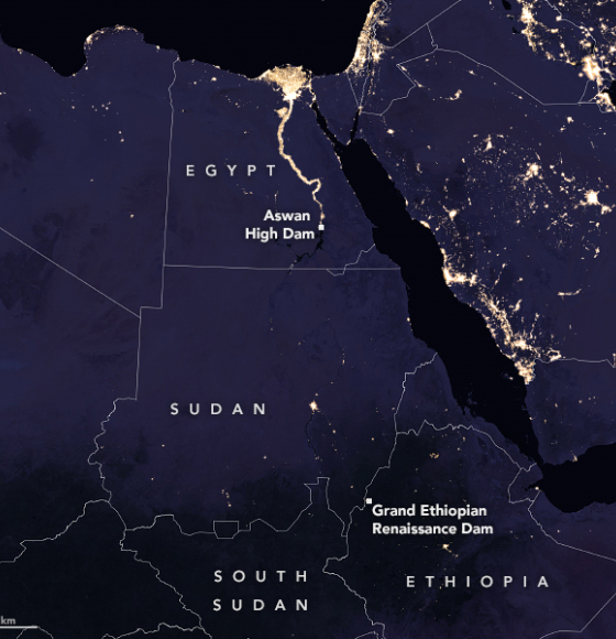
A Grand New Dam on the Nile
Published on 19 May 2022

BEETPHEN: Mildew detection in sugar beets takes to the sky
Published on 21 May 2021
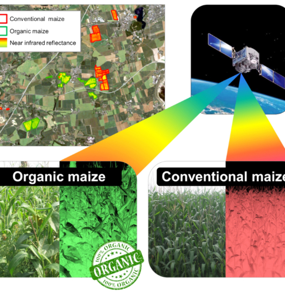
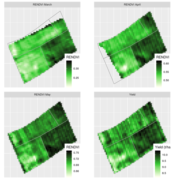
Multispectral Remote Sensing as a Tool to Support Organic Crop Certification
Published on 5 February 2021
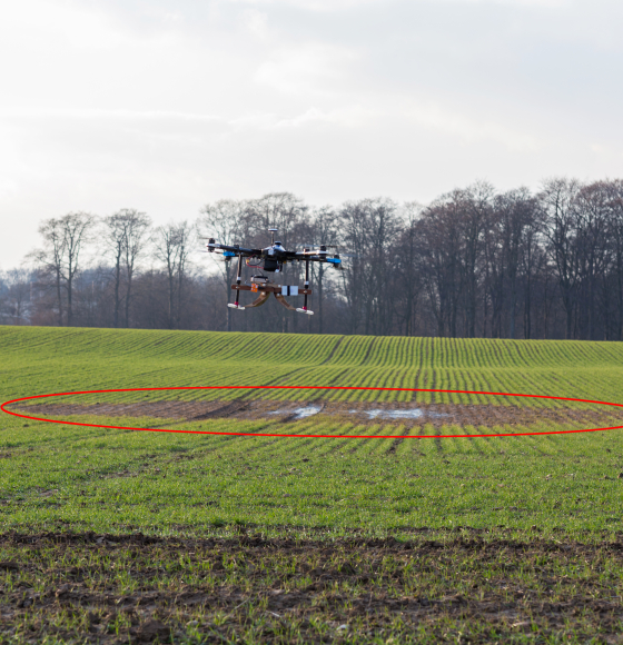
UAVSoil: Using drones to optimize agricultural plot management
Published on 23 January 2021
BELCAM, collaborative platform for monitoring agricultural plots
Published on 14 August 2020
RAPAS: New drone-borne methods for digital soil mapping
Published on 15 January 2020
UN-FAO World Food Day
Published on 16 October 2019

Copernicus Sentinel-2 data to estimate soil organic carbon in croplands
Published on 3 May 2019
GEO published its very own story map
Published on 20 November 2018
Satellites Safeguard Europe's Potato Industry
Published on 27 September 2018
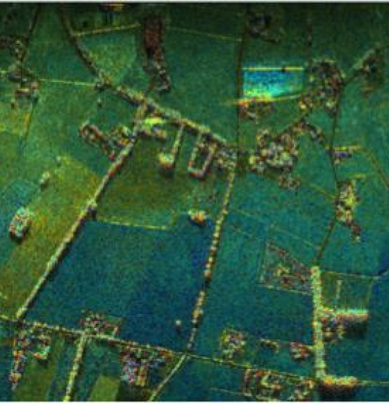
Joint ESA-BELSPO project "BelSAR" illustrates how tandem radar images can help map rural landscapes
Published on 7 March 2017