GAMES
|
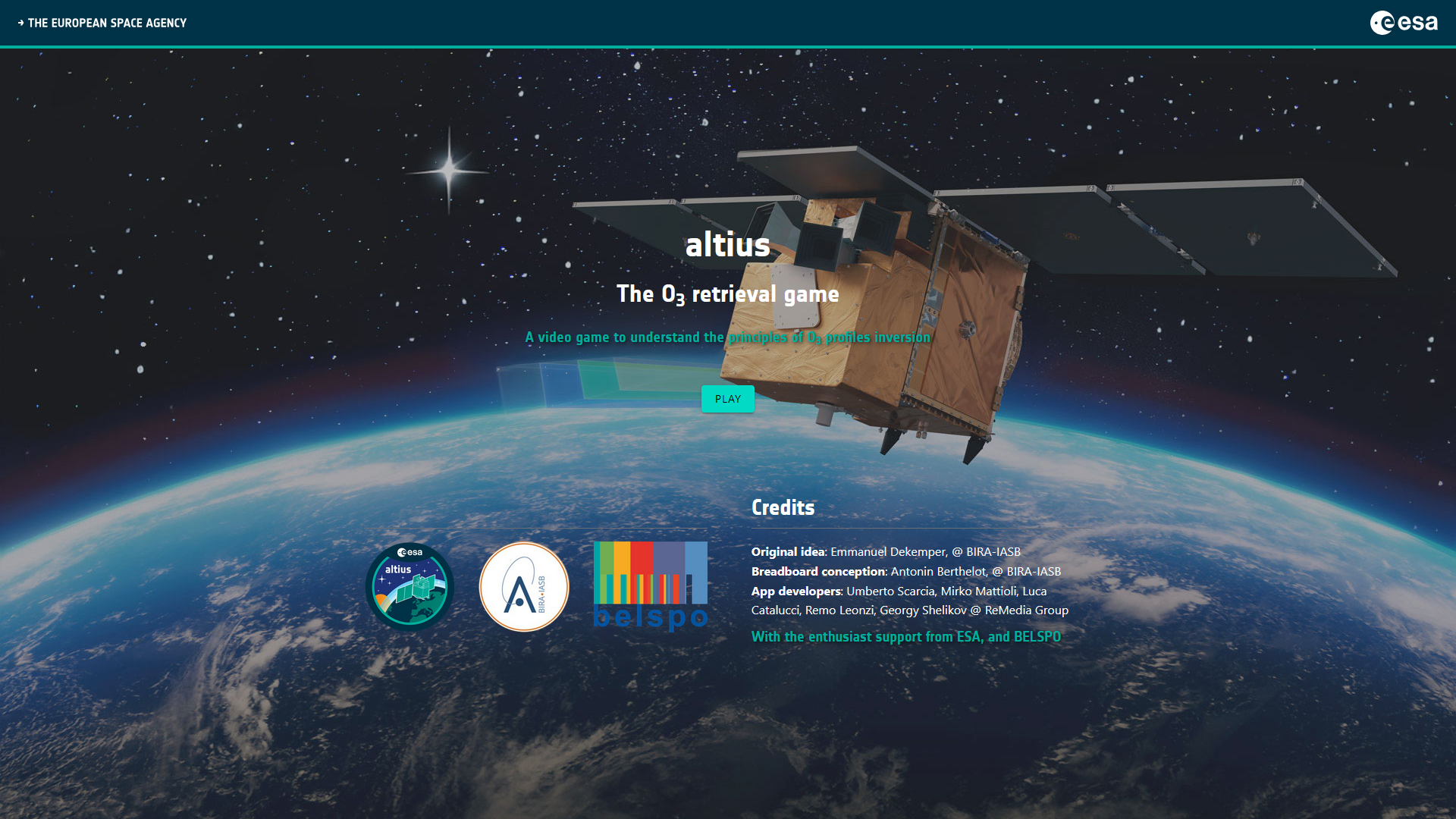
Altius - The O3 retrieval game
|
|
STEREO PROJECTS VIDEOS
STEREO PROGRAMME Watch these two videos below to discover in a few minutes what the STEREO programme is and get an overview of some applications covered by the research funded by the STEREO programme.
FEATURED VIDEOS
Among the news items published on this site, you'll find below commented satellite images, webstories explaining the why and how of STEREO projects, press articles and interviews of our researchers, and videos of our partners. Browse through them below by choosing the type of news or by selecting a tag. |


HIBIDIS - HYPERSPECTRAL BIODIVERSITY SCOUT MISSION selected by ESA
Published on 21 May 2026

ESA unveils longest-ever dataset on forest biomass
Published on 5 May 2025

ESA - BIOMASS successful launch
Published on 29 April 2025

ESA and IBM collaborate on TerraMind
Published on 22 April 2025

Protecting ocean biodiversity with satellite data
Published on 16 April 2025

Microbial diversity discovered in Lake Enigma, Antarctica
Published on 19 January 2025
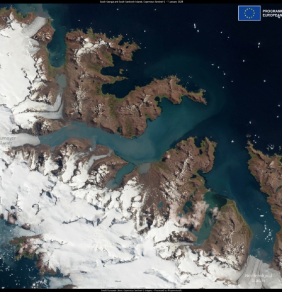
South Georgia and South Sandwich Islands increase protected coastal areas
Published on 29 February 2024
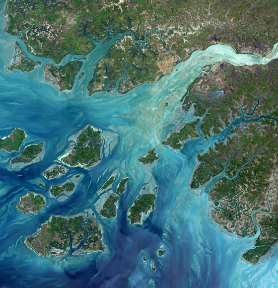
Guinea-Bissau and the Bissagos islands
Published on 25 March 2022

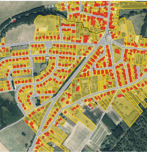
GARVAL: A garden map validated by citizens
Published on 15 October 2021
International Day for Biological Diversity
Published on 21 May 2021
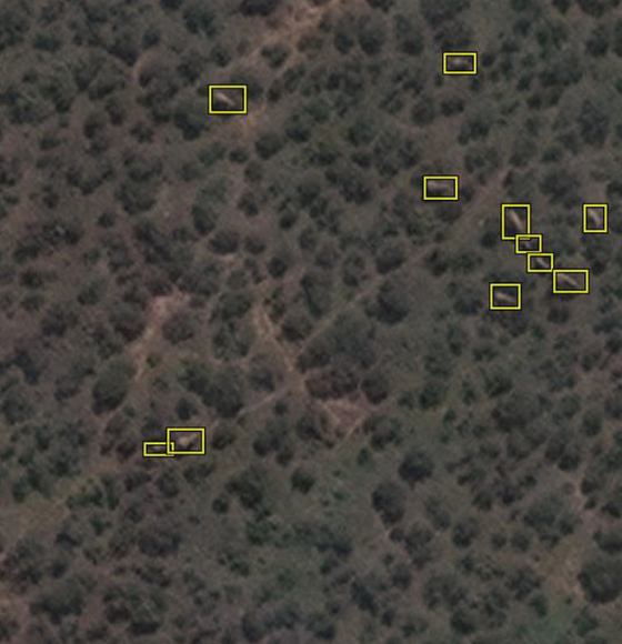
Counting Elephants From Space
Published on 23 January 2021
GARMON: Mapping and characterizing gardens using remote sensing
Published on 12 January 2021
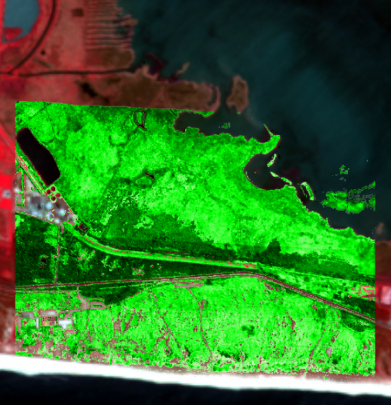
HIWET: Using satellite images for wetland vegetation monitoring
Published on 3 December 2020
Proba-V blog — Time to act #ForNature
Published on 5 June 2020
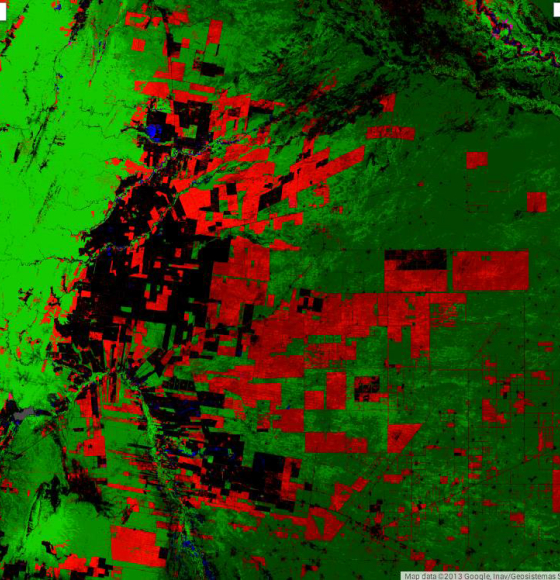
Biodiversity threatened by invasive species: INPLANT carried out the survey
Published on 18 May 2020
Preserving life with spatial data
Published on 3 March 2020
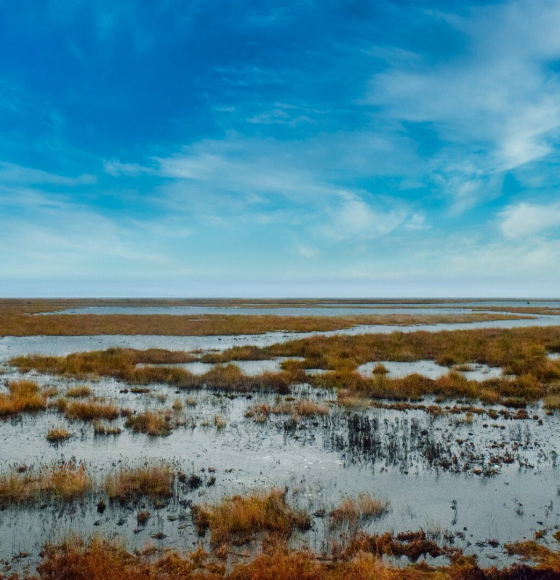
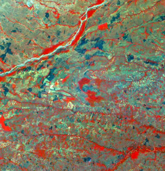
Space key to wetland conservation
Published on 7 February 2020
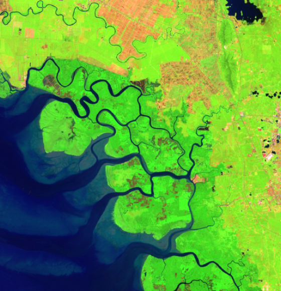
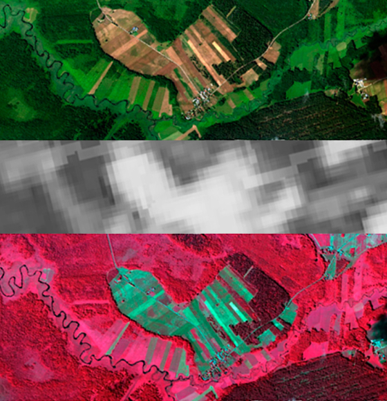
MAMAFOREST: Managing mangrove forests from the sky
Published on 6 November 2019
DIARS: images against invasive plants
Published on 21 May 2019
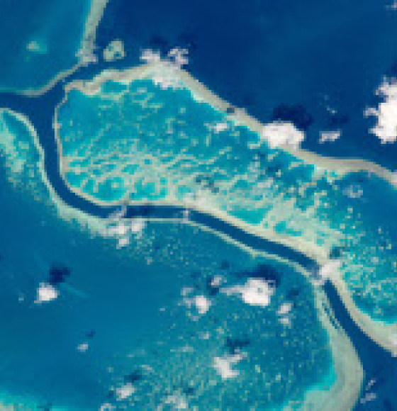
What’s behind the ground-breaking 3D habitat map of the Great Barrier Reef?
Published on 13 May 2019