GAMES
|
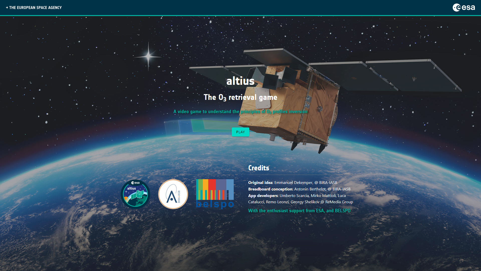
Altius - The O3 retrieval game
|
|
STEREO PROJECTS VIDEOS
STEREO PROGRAMME Watch these two videos below to discover in a few minutes what the STEREO programme is and get an overview of some applications covered by the research funded by the STEREO programme.
FEATURED VIDEOS
Source: ESAAmong the news items published on this site, you'll find below commented satellite images, webstories explaining the why and how of STEREO projects, press articles and interviews of our researchers, and videos of our partners. Browse through them below by choosing the type of news or by selecting a tag. |

TERRASCOPE II Unveiled: Belgium Expands Its Free Satellite Imaging Services
Published on 18 April 2024

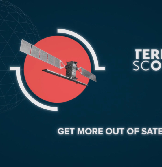
Terrascope will provide open-source satellite data until at least 2028
Published on 29 January 2024
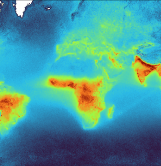
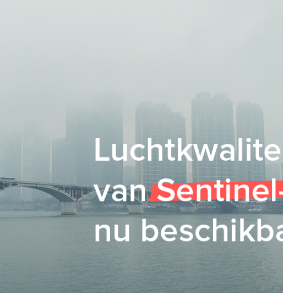
New air quality data available in Terrascope
Published on 27 June 2023
Remote sensing solutions for water management
Published on 22 November 2022
Terrascope used in new ESERO Climate Detectives course
Published on 13 October 2022
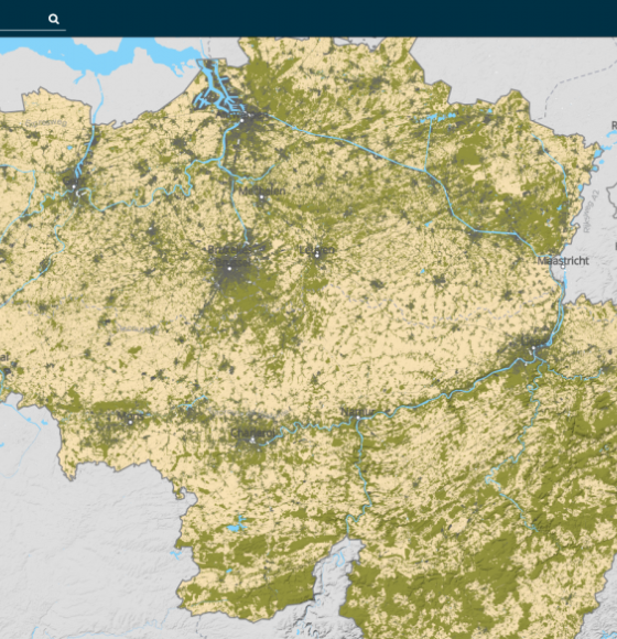
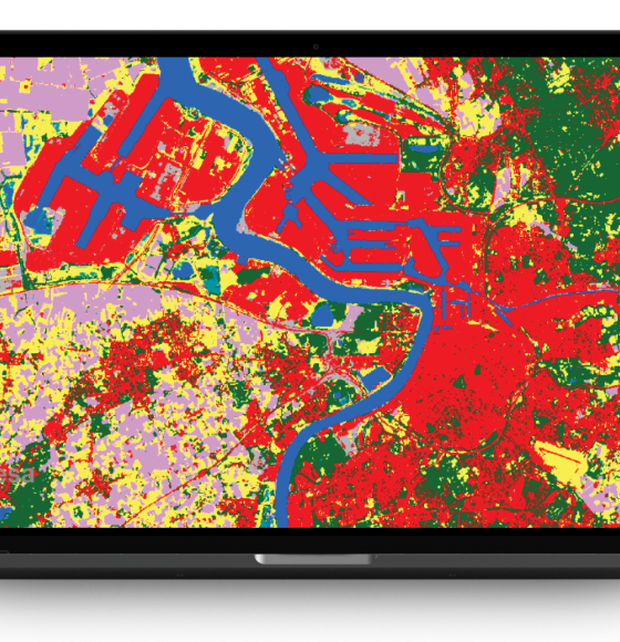
‘How green is my municipality’ adds a new land cover classification map
Published on 9 August 2022
New rolling archive policy for Sentinel data in Terrascope
Published on 3 June 2022

A new collaboration platform for EO data and services
Published on 24 May 2022

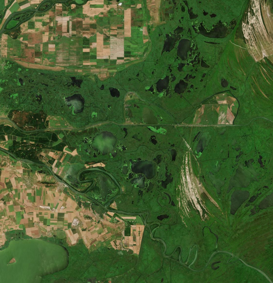
WorldCover: worldwide land cover mapping
Published on 19 May 2022
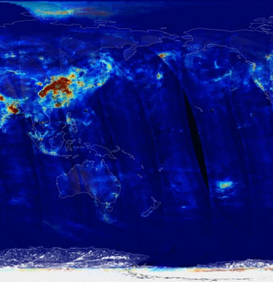
New Sentinel-5P air quality products coming up this year!
Published on 24 February 2022

Terrascope: towards a brand new Marketplace to access and offer EO services
Published on 16 December 2021
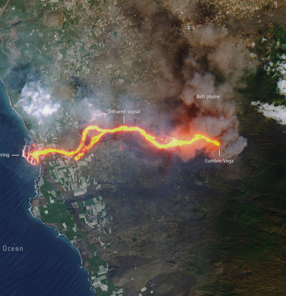
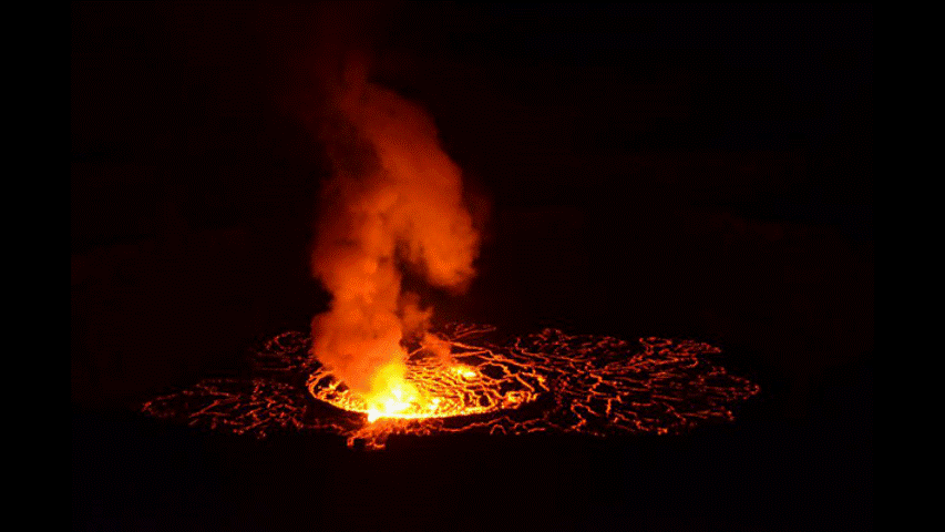
Monitoring volcano ash plumes on La Palma with different satellites
Published on 14 October 2021

Learn more about Earth observation through new STEM teaching module
Published on 23 September 2021
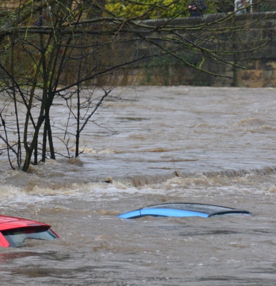
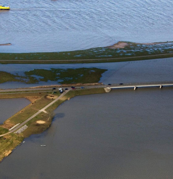
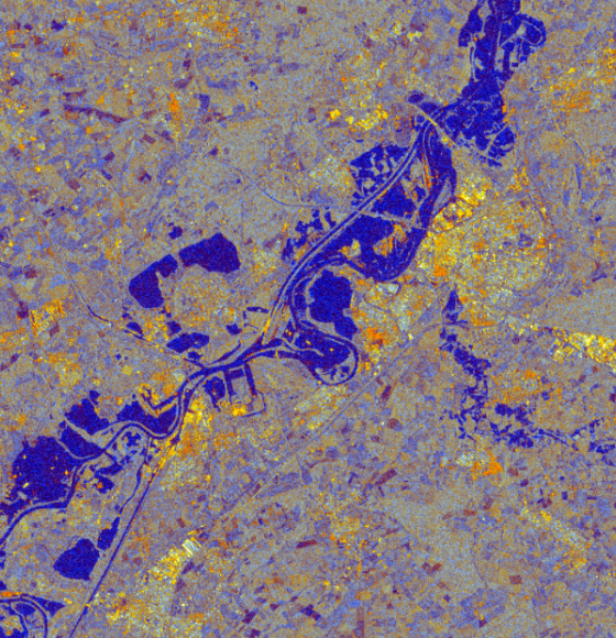
Monitoring flooded areas with Sentinel-1 satellite data
Published on 16 July 2021

Forecasting and monitoring vector-borne diseases with FARSEER
Published on 25 March 2021
Sentinel-5P air quality data now available
Published on 8 February 2021

WaterMonitor: detecting algae by satellite
Published on 9 July 2020
Terrascope! Open-source satellite data? Well spotted.
Published on 26 March 2020
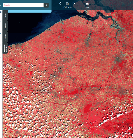
Terrascope Releases its First EO Browser
Published on 8 May 2018
TERRASCOPE Sentinel data now readily available for all Belgian users
Published on 24 January 2017