Published on 19 March 2021
Precisely 10 years ago, the United Nations General Assembly adopted a resolution proclaiming the launch of an International Year of Forests to raise awareness of the importance of strengthening the protection and sustainable management of all types of forests.
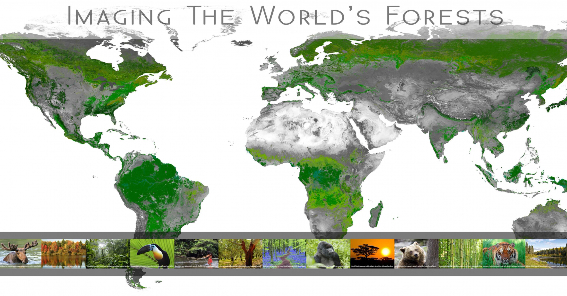
For this occasion, we developed a travelling exhibition that you can view here.
 |
To further raise awareness of the importance and multifunctionality of forests, the UN has established a day to celebrate forests, and 21 March has been declared International Forest Day.
Forests contribute to the prosperity and well-being of current and future generations and play a crucial role in poverty reduction and in the implementation of the 17 UN Sustainable Development Goals (SDGs). They are also key ecosystems in the fight against climate change.
Despite all the ecological, economic, social and health services they provide, forests continue to be destroyed at an alarming rate worldwide.
In the context of the implementation of the REDD+ mechanism (Reducing Emissions from Deforestation and Forest Degradation), the quantification of biomass and carbon stocks in tropical forests is an international priority. However, estimates of forest carbon quantities are both difficult and imprecise.
A STEREO project, 3D-FOREST, has been working to develop methods and models to reduce this uncertainty using ground-based and UAV-based laser scanning techniques.
We invite you to (re)discover this project through the webstory 3D-FOREST: Understanding Tropical Forests with the help of LiDAR.
Traversée en 3D du supersite TERN (Terrestrial Ecosystem Research Network) de la savanede Litchfield
A related, more recent project, 3D-Terrain, has extended the use of LiDAR UAS (Unmanned Aircraft Systems) to characterise termite mounds in tropical savannas.
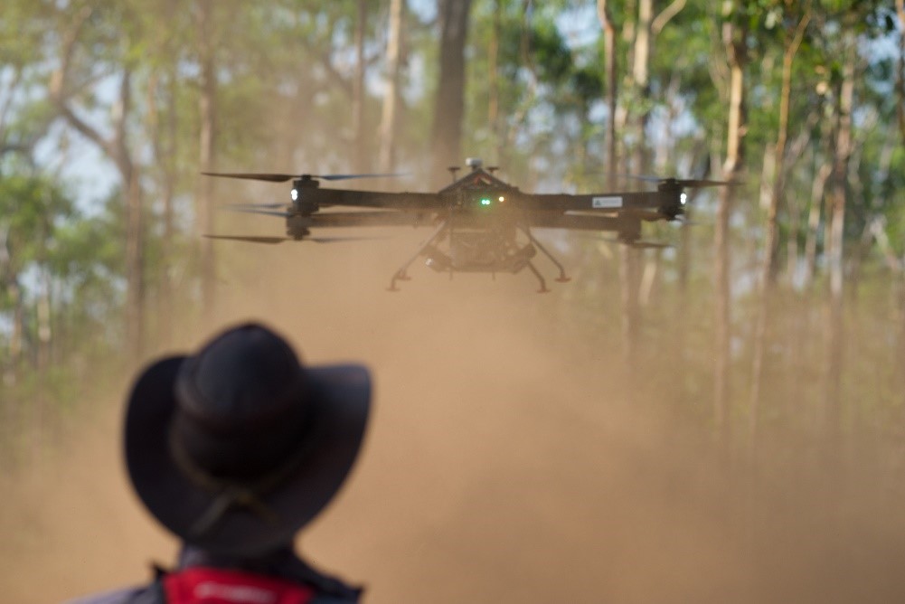
In 2018, a team of researchers collected LiDAR data in Litchfield National Park in Australia, using a RICOPTER equipped with a VUX-1UAV scanner. Not only were they able to model the forest in 3D, but the LiDAR point cloud they acquired revealed hundreds of termite mounds, spread out under the canopy. The termites that inhabit these mounds are true ecosystem engineers: for example, they increase water infiltration through their extensive network and can create small islands of fertility by concentrating nutrients near the mound. In addition, mounds would increase resilience to climate change and play an important role in savannah restoration.
These numerous ecosystem services demonstrate the importance of detecting and mapping termite mounds over large areas. This could provide valuable information on the spatial distribution of these mounds and allow us to discover the underlying mechanisms by which they influence ecosystem functioning.
More information
Exhibition Imaging the World's forests
3D-FOREST: Understanding Tropical Forests with the help of LiDAR
Characterising Termite Mounds in a Tropical Savanna with UAV Laser Scanning
Other STEREO projects in the Forests theme
MAMAFOREST: Managing mangrove forests from the sky