News
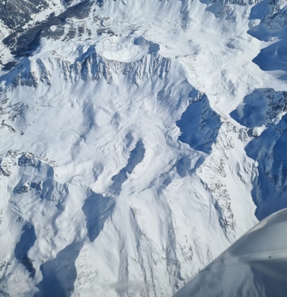
New radar campaign measures snow water and soil moisture
Gepubliceerd op 20 februari 2025

Sentinel-1C demonstrates power to map land deformation
Gepubliceerd op 14 februari 2025

Radarexperimenten voor verbeterde klimaatmonitoring
Gepubliceerd op 30 januari 2025

Sentinel-1C captures first radar images
Gepubliceerd op 11 december 2024
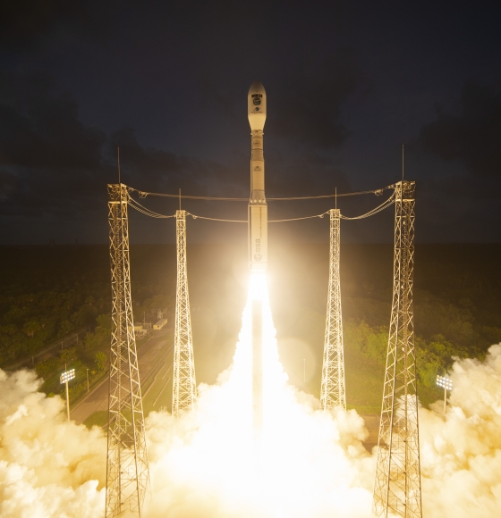
Double win for Europe: Sentinel-1C and Vega-C take to the skies
Gepubliceerd op 7 december 2024

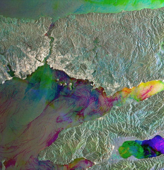
Earth from Space: Changing Iceland in colour
Gepubliceerd op 24 mei 2024
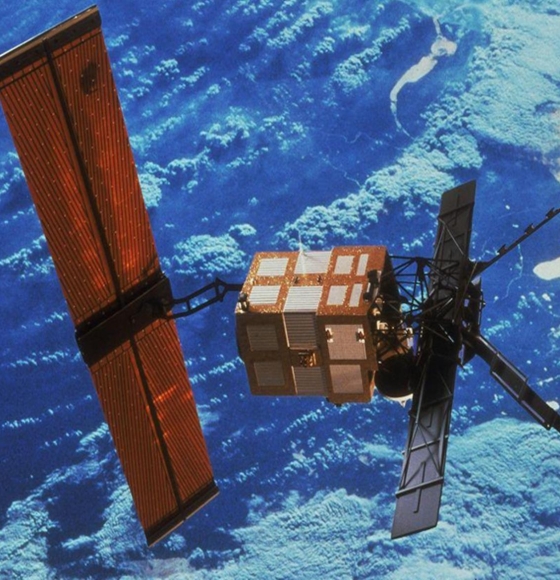
ERS-2 reenters Earth’s atmosphere over Pacific Ocean
Gepubliceerd op 22 februari 2024
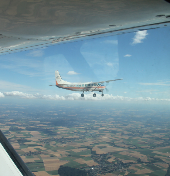
BELSAR-Science: Een sprong voorwaarts in landbouw-teledetectie dankzij bistatische radar
Gepubliceerd op 8 september 2023
How satellite data empower sustainable urban growth
Gepubliceerd op 26 mei 2023
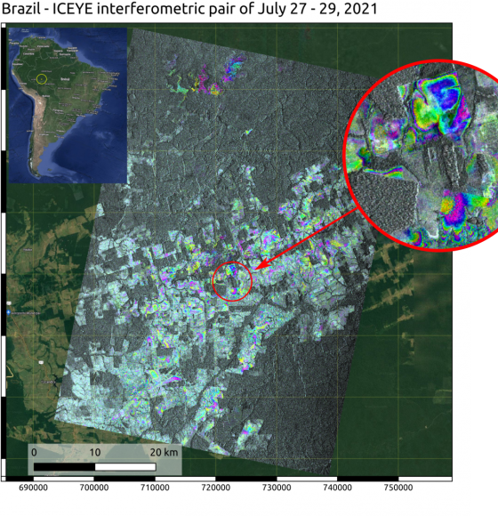
ECTIC: Milieuveranderingen opvolgen met de ICEYE-constellatie
Gepubliceerd op 12 mei 2023