News
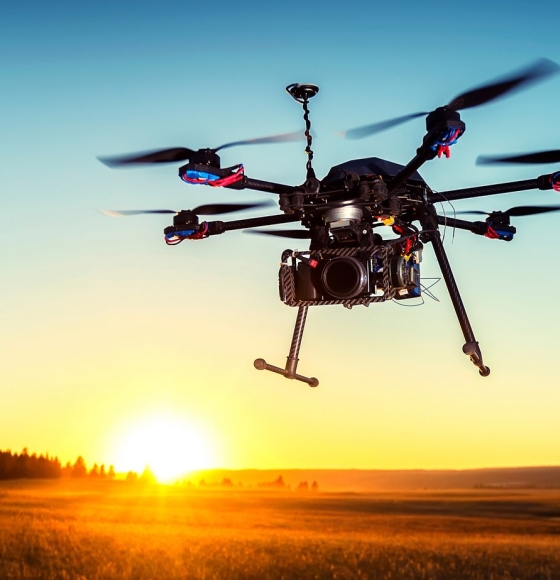
Making Drone Technology Accessible to Farmers
Gepubliceerd op 6 december 2023
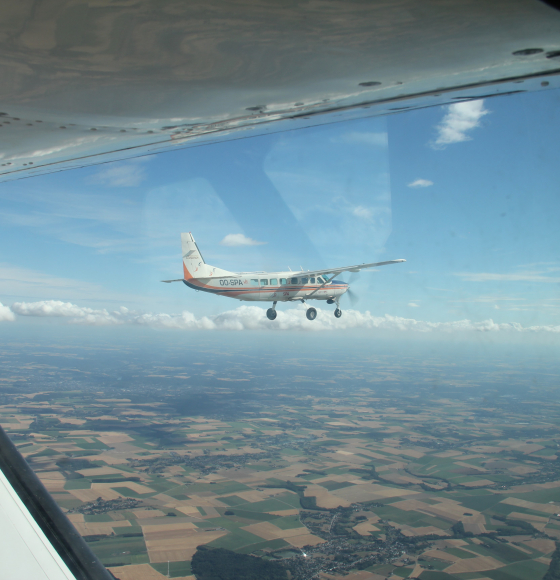
BELSAR-Science: Een sprong voorwaarts in landbouw-teledetectie dankzij bistatische radar
Gepubliceerd op 8 september 2023
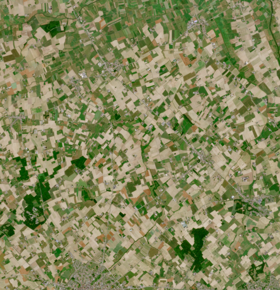
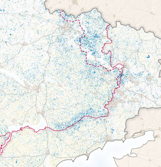
Climate-resilient agriculture in Flanders
Gepubliceerd op 19 juli 2023
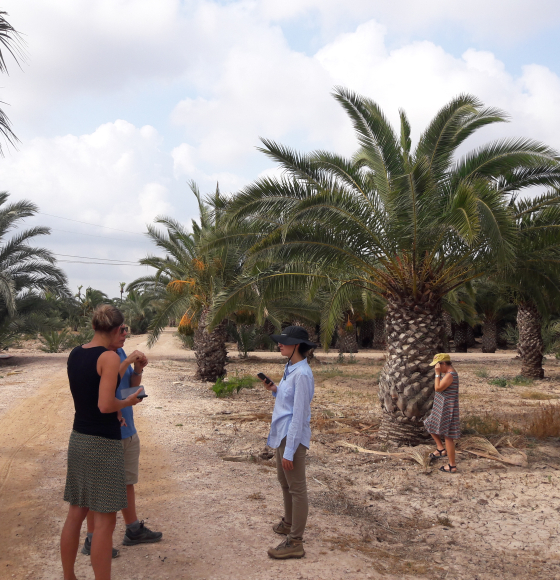
PALMWATCH: Teledetectie schiet palmbomen te hulp
Gepubliceerd op 27 juni 2023
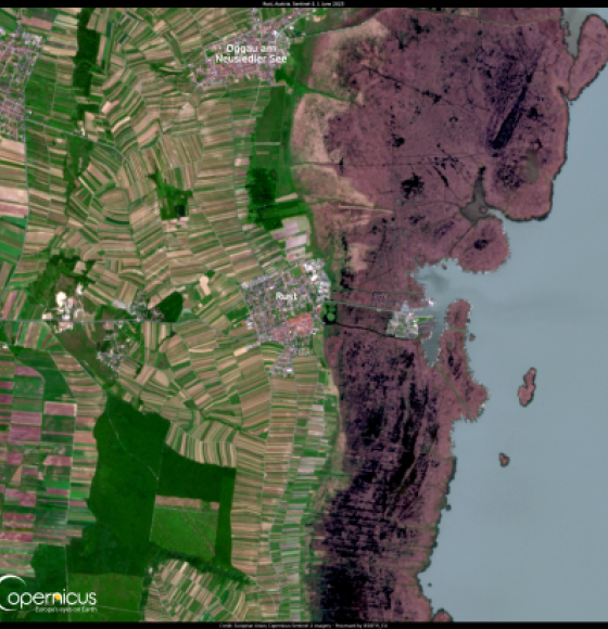
The effects of climate change are changing Austria's wine industry
Gepubliceerd op 8 juni 2023
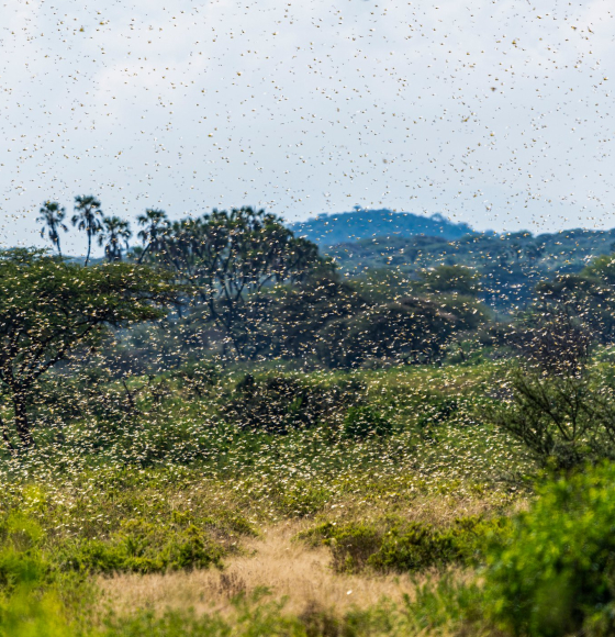
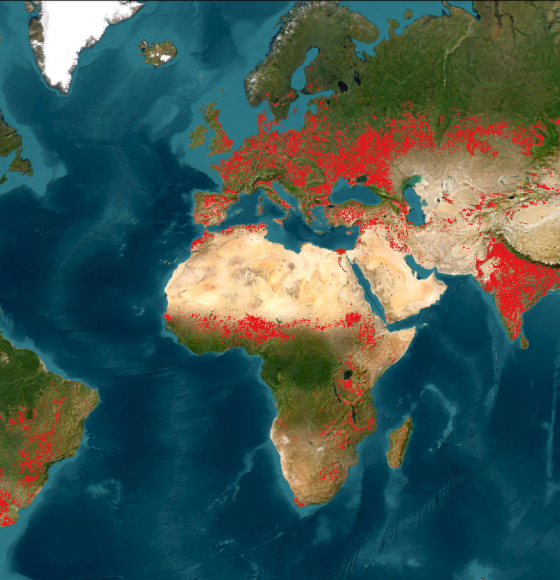
Desert Locust Monitoring in East Africa
Gepubliceerd op 31 mei 2023
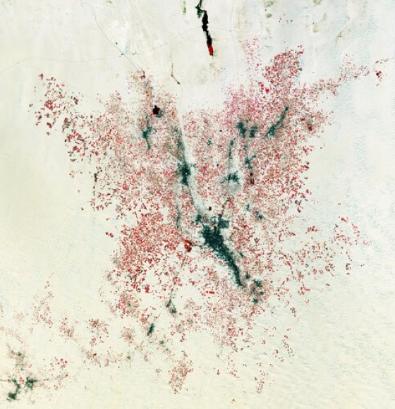
Earth from Space: Farming the desert
Gepubliceerd op 5 mei 2023
WorldCereal Releases Global Seasonal Crop Type Maps
Gepubliceerd op 21 april 2023
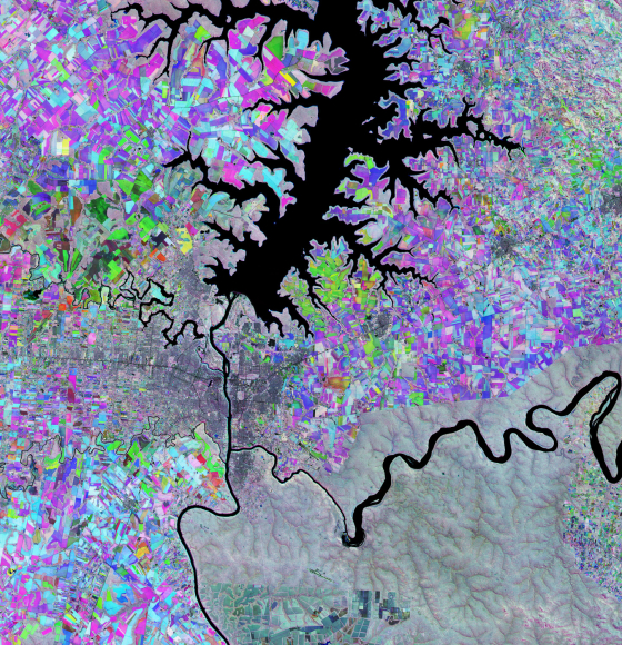
Earth from Space: The Triple Frontier
Gepubliceerd op 24 februari 2023
Larger Wheat Harvest in Ukraine Than Expected
Gepubliceerd op 14 december 2022