Among the news items published on this site, you'll find below commented satellite images, webstories explaining the why and how of STEREO projects, press articles and interviews of our researchers, and videos of our partners. Browse through them below by choosing the type of news or by selecting a tag.
STEREO PROJECTS VIDEOS
|
STEREO III Photo album |
RDC : à la découverte du volcan Nyiragongo, "aux portes de l'enfer - MUZUBI project |
BEETPHEN project, toward drone-based phenotyping in sugar beet breeding trials |

Vlaamse onderzoeker vertrekt samen met NASA op sneeuwexpeditie - SNOPOST & CSNOW projects |
Copernicus4Regions user stories- Interview Wallonia - SARSAR project |
Het hitte-eilandeffect. Hoe voorkomen we snikhete nachten? - URBANEARS project |
|
3D fly-through of Litchfield Savanna TERN supersite - 3D FOREST project |
Field Campaign in Biebrza National Park, Poland - HIWET project |
Drones to monitor water quality - DRONESED project
|
Watch iT Grow, een nieuw online platform voor aardappelmonitoring - iPOT project |

STEREO PROGRAMME
Watch these two videos below to discover in a few minutes what the STEREO programme is and get an overview of some applications covered by the research funded by the STEREO programme.
FEATURED VIDEOS
Source: ESA
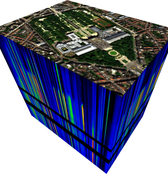
GENLIB: Spectral libraries to better interpret cities
Published on 26 August 2022
AI4FOOD: a Data-Fusion and Time Series Framework as a Service
Published on 12 January 2022
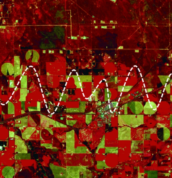
GEOMIX: Gaining better understanding by breaking down the signal
Published on 12 April 2021
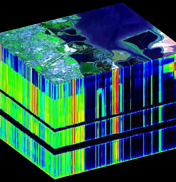
BELHARMONY: a Belgian initiative to harmonize multi-mission EO timeseries
Published on 11 February 2021
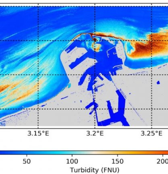
PONDER: Monitoring coastal and inland waters with very high resolution imagery
Published on 6 September 2019
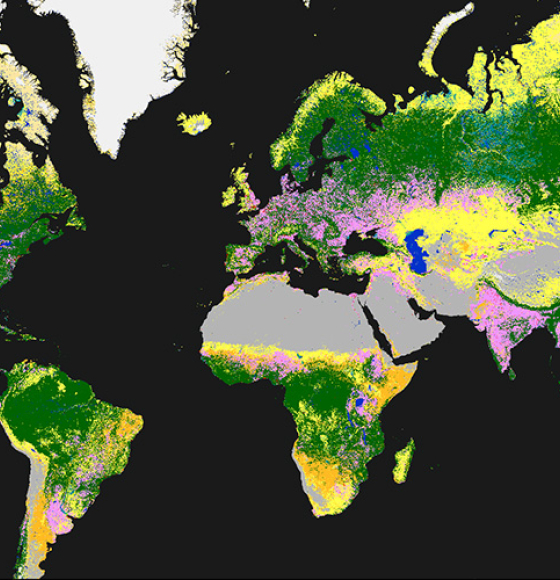
Time to release the new and improved land cover maps
Published on 14 May 2019
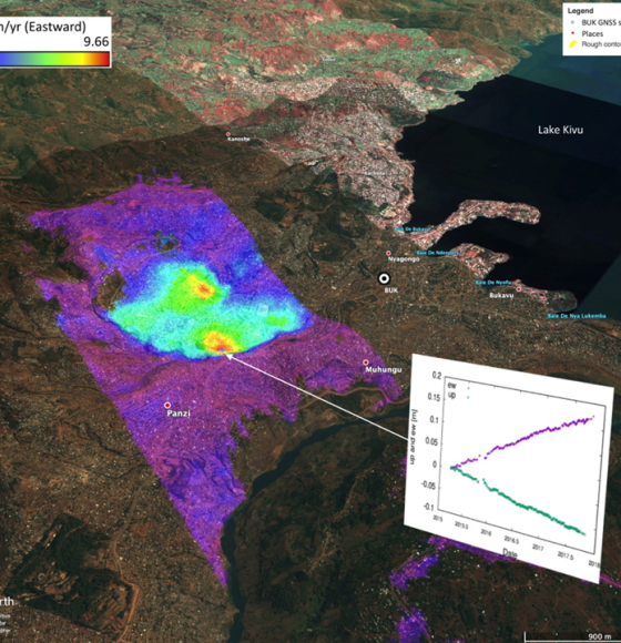
Complete InSAR suite developed by CSL's Signal Lab
Published on 27 November 2018
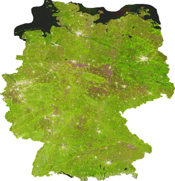
iCOR, atmospheric image correction made accessible
Published on 17 August 2017
ESA's U-TEP offers free urban monitoring satellite data
Published on 14 April 2017