News
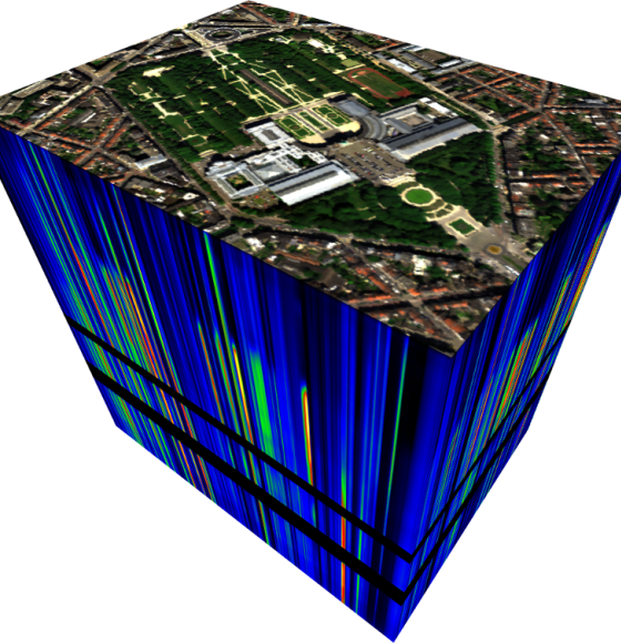
GENLIB: Spectral libraries to better interpret cities
Published on 26 August 2022
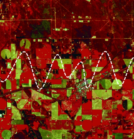
AI4FOOD: a Data-Fusion and Time Series Framework as a Service
Published on 12 January 2022
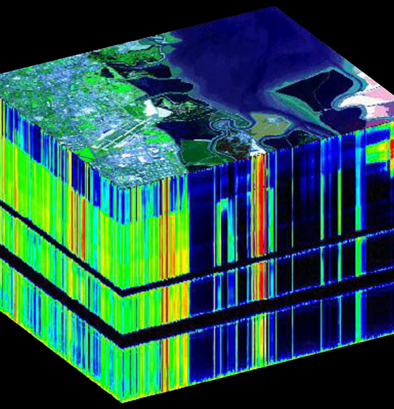
GEOMIX: Gaining better understanding by breaking down the signal
Published on 12 April 2021
BELHARMONY: a Belgian initiative to harmonize multi-mission EO timeseries
Published on 11 February 2021
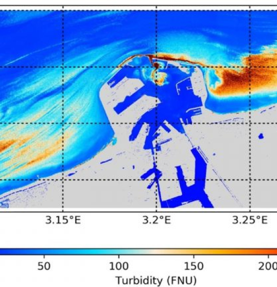
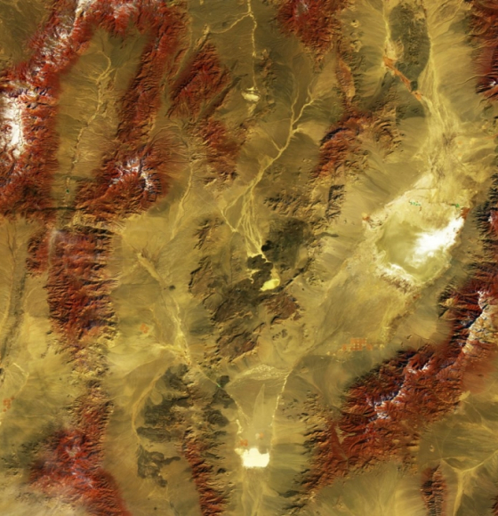
PONDER: Monitoring coastal and inland waters with very high resolution imagery
Published on 6 September 2019
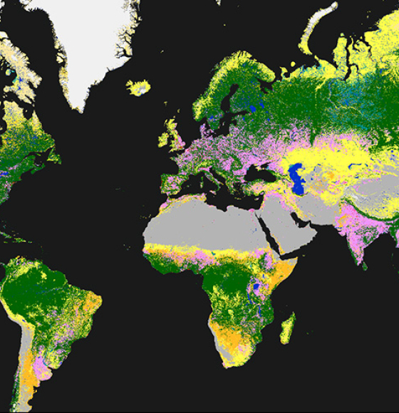
Time to release the new and improved land cover maps
Published on 14 May 2019
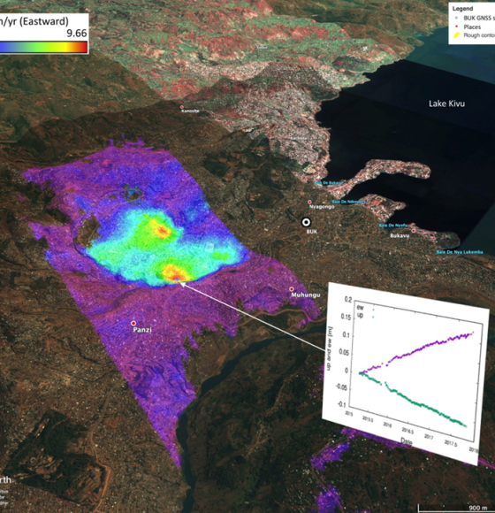
Complete InSAR suite developed by CSL's Signal Lab
Published on 27 November 2018
iCOR, atmospheric image correction made accessible
Published on 17 August 2017
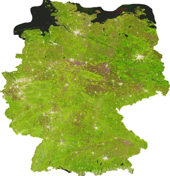
ESA's U-TEP offers free urban monitoring satellite data
Published on 14 April 2017