This programme, managed by the “Space Research and Applications” directorate of the Belgian Science Policy office (BELSPO), offers to Belgian universities, public scientific institutions and non-profit research institutions opportunities and tools for the development of an expertise in Earth observation and a maximized scientific use of satellite and airborne data.
BELGIAN EARTH OBSERVATION DIRECTORY
Discover the world of remote sensing in Belgium: this section gives access to a vast database of knowledge regarding Earth observation in Belgium.
Latest STEREO featured stories
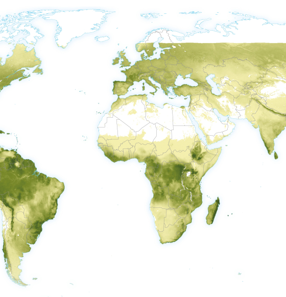
ECOPROPHET : Quantifying the productivity of continental ecosystems
Published on 20 January 2023
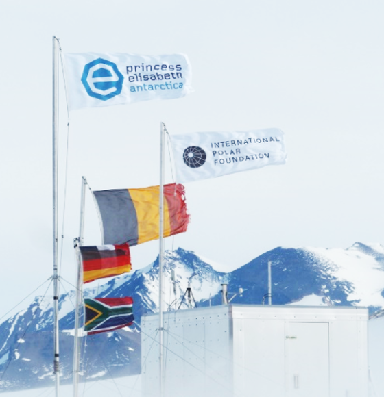
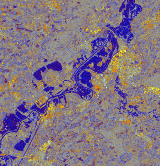
Copernicus Sentinel-2 zooms in on the Antarctic
Published on 19 January 2023
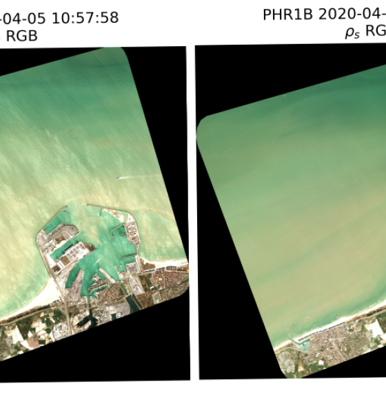
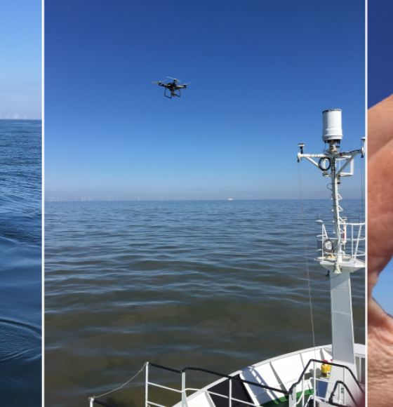
AQUALOOKS: Further improving coastal and inland waters observations
Published on 8 December 2022
The MODUS project team makes the cover of Nature Geoscience
Published on 8 December 2022
14 Belgian research teams got to publish an article in the influential MDPI journal "Remote Sensing"
Published on 1 December 2022
TIMBERS: where optics and acoustics meet
Published on 10 November 2022
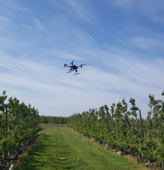
INTELLI-FRUIT brings precision fruticulture to practice
Published on 21 October 2022
Terrascope used in new ESERO Climate Detectives course
Published on 13 October 2022
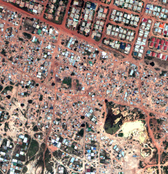
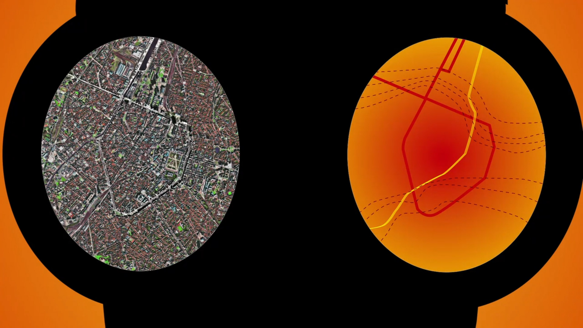
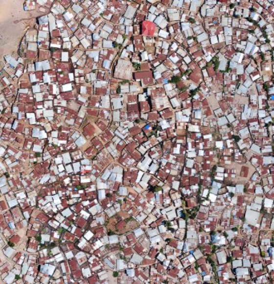
SLUMAP: Mapping deprived urban areas for pro-poor policies
Published on 27 September 2022

Belgium to launch a Centre of Excellence for Climate
Published on 6 September 2022