Understanding remote sensing: Introduction

What is remote sensing?
Remote sensing is a very broad concept. For starters, we remotely sense with three of our five senses, and from a social point of view that is a good thing. Visibility, hearing and smell enable us to obtain a whole range of information about our environment, to analyze and evaluate it immediately in order to optimally adapt our behavior to the situation observed.
Good eyesight, good hearing, a good sense of smell are of course paramount to getting the most reliable information possible without distorting the information in the process (in remote sensing terms this entails sensitivity and convolution of the sensor with respect to the transmitted signal).
Then comes the phase of analysis and partitioning of information: what is the color of the object? What shape does it have? What is that sound behind the door? Is there a burning smell? We compare all this information with what we have already experienced. Our experiences are a means of learning that allows us to analyze the environment optimally based on prior knowledge.
And finally, the tricky problem of choosing the right response: What should I do if I smell a burning smell? Do I start screaming, or do I grab a garden hose?
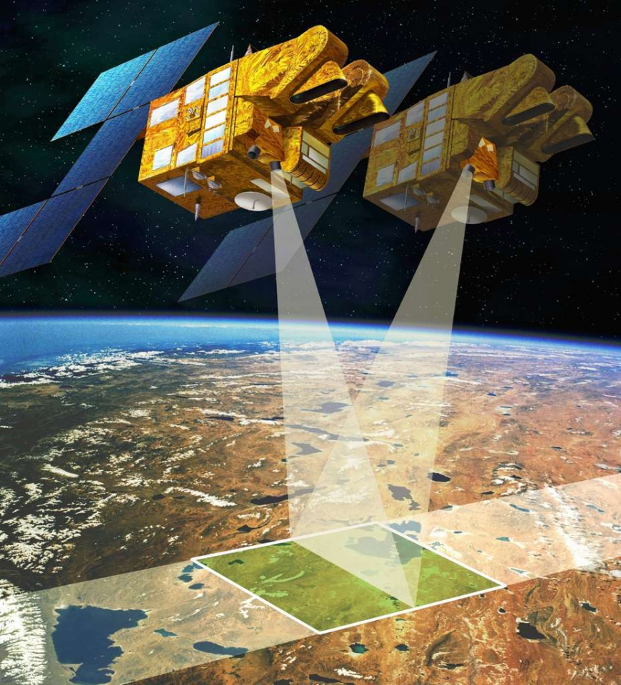
Remote sensing allows us to observe and analyse characteristics of the Earth's surface from a distance. In practice, the phrase 'remote sensing' is reserved for observing the earth by means of instruments on board satellites, aircraft, drones or any airborne platform.
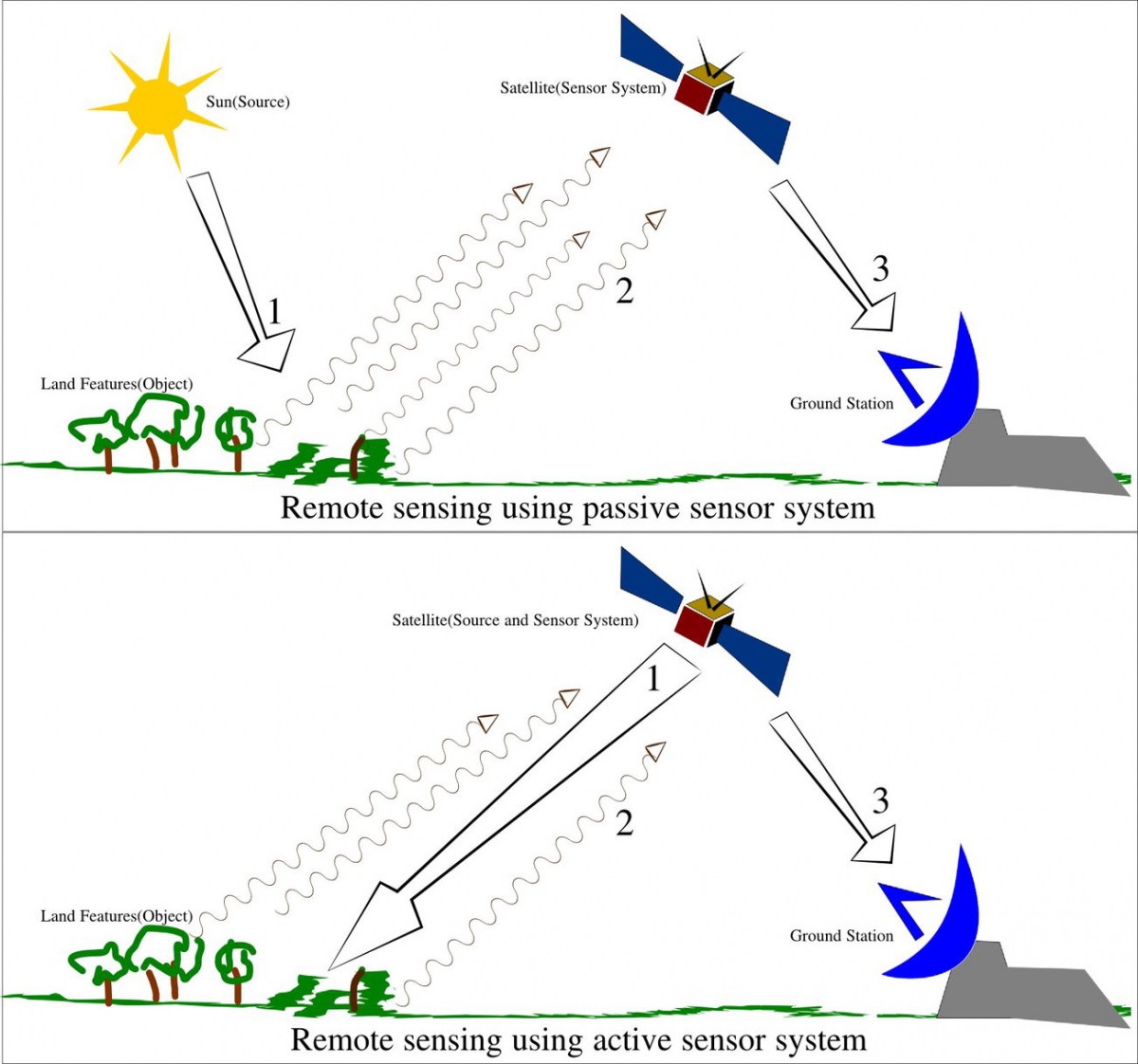
The onboard sensors allow us to capture the energy radiation emitted or reflected by the Earth. the reflected energy either comes from the sun or—in case of radar imagery—from the sensor itself.
The sensors used allow observations not just in the visible part of the spectrum, just like our eyes, but also beyond, which significantly increases the number of observable characteristics.
For example, it is possible to differentiate between trees and herbaceous vegetation, different field crops, different types of buildings, to estimate the soil moisture content, to monitor the phenological status of plants, to detect illegal tank washing at sea or to monitor ground movements.
The applications of remote sensing are very diverse: meteorology, oceanography, climatology, spatial planning, food security, monitoring of the marine and terrestrial environment, biodiversity, deforestation ... One of the most remarkable examples is the management of humanitarian aid during natural disasters (flooding, earthquakes, landslides, volcanic eruptions ...).
More generally, remote sensing can detect changes on the surface of the earth (erosion, urbanization, retreat of glaciers). Technologies such as RADAR or LiDAR even make it possible to map the topography of a site very accurately and to measure landslides.