GAMES
|
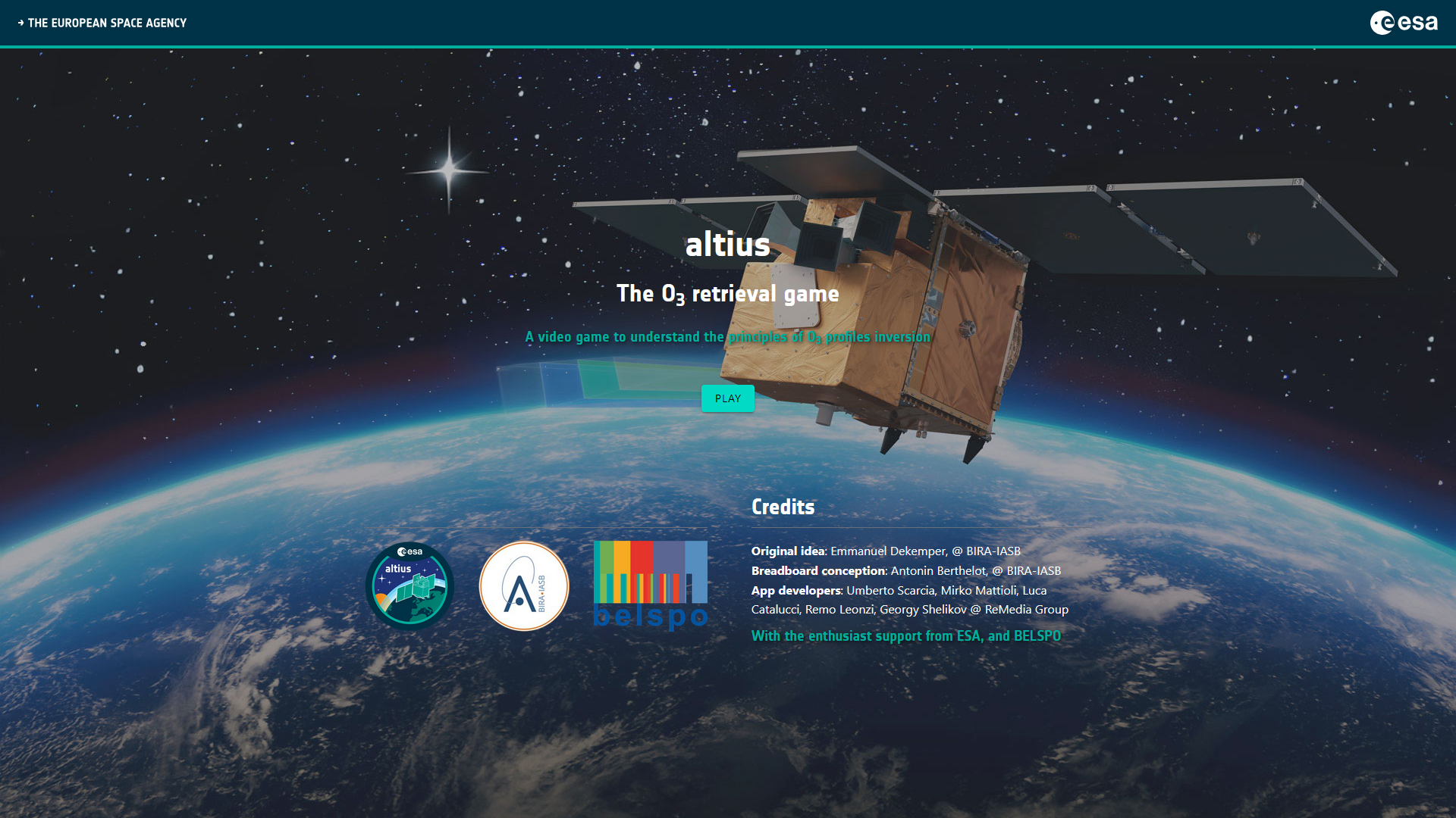
Altius - The O3 retrieval game
|
|
STEREO PROJECTS VIDEOS
STEREO PROGRAMME Watch these two videos below to discover in a few minutes what the STEREO programme is and get an overview of some applications covered by the research funded by the STEREO programme.
FEATURED VIDEOS
Among the news items published on this site, you'll find below commented satellite images, webstories explaining the why and how of STEREO projects, press articles and interviews of our researchers, and videos of our partners. Browse through them below by choosing the type of news or by selecting a tag. |

STEREO researchers publish a method for measuring snow depth by satellite in Nature Communications
Published on 15 October 2019
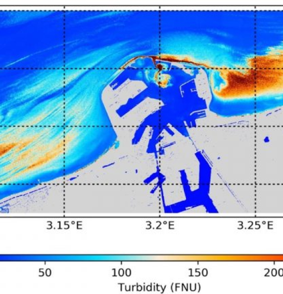
PONDER: Monitoring coastal and inland waters with very high resolution imagery
Published on 6 September 2019
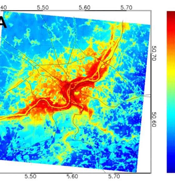
SmartPop: Cities hit by the heat
Published on 22 July 2019
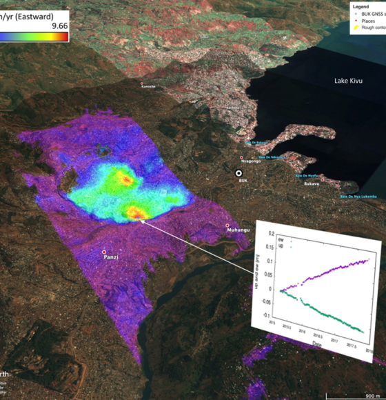
MODUS: keeping an eye on landslides
Published on 17 June 2019
DIARS: images against invasive plants
Published on 21 May 2019

Copernicus Sentinel-2 data to estimate soil organic carbon in croplands
Published on 3 May 2019

3D-FOREST: Understanding Tropical Forests with the help of LiDAR
Published on 26 April 2019
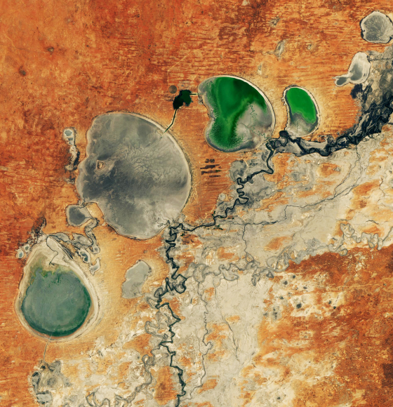
HYDRAS+, a STEREO project to battle drought
Published on 22 March 2019
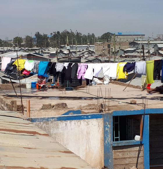
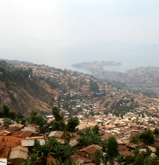
MAUPP - A better understanding of population patterns in sub-Saharan cities and slums
Published on 7 February 2019
Show me your leaves! Health check for urban trees
Published on 13 December 2018
Complete InSAR suite developed by CSL's Signal Lab
Published on 27 November 2018
SAT-EX project culminates with an international workshop on global vegetation dynamics
Published on 20 November 2018
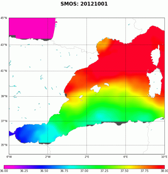
Six years of the new SMOS SSS maps in the Mediterranean Sea now available!
Published on 6 April 2018

Watch iT Grow, a new online platform for potato monitoring
Published on 6 April 2017
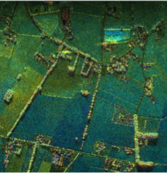
Joint ESA-BELSPO project "BelSAR" illustrates how tandem radar images can help map rural landscapes
Published on 7 March 2017