Parmi les news publiées sur ce site, vous trouverez ci-dessous des images satellites commentées, des webstories expliquant le pourquoi et comment des projets STEREO, des articles de presse ou des interviews de nos chercheurs, des vidéos de nos partenaires. Parcourez-les ci-dessous en choisissant le type de news ou en sélectionnant un tag.
VIDéOS DES PROJETS STEREO
|
Album photos STEREO III |
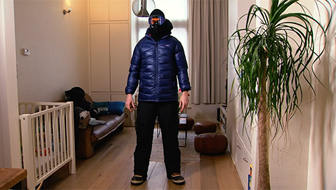
RDC : à la découverte du volcan Nyiragongo, "aux portes de l'enfer - Projet MUZUBI |
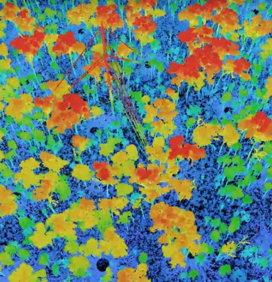
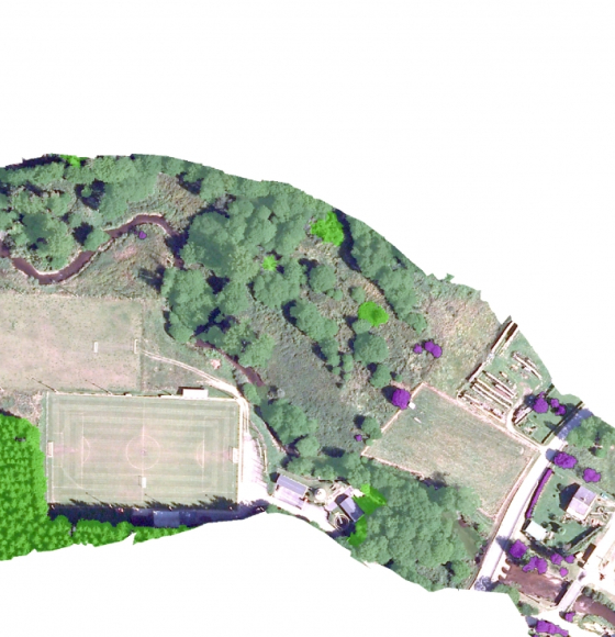
BEETPHEN project, toward drone-based phenotyping in sugar beet breeding trials |
|
|
|
|
|
Field Campaign in Biebrza National Park, Poland - Projet HIWET |
Drones to monitor water quality - Projet DRONESED
|
Watch iT Grow, een nieuw online platform voor aardappelmonitoring - Projet iPOT |
PROGRAMME STEREO
Les 2 vidéos ci-dessous vous permettent de découvrir en quelques minutes ce qu'est le programme STEREO et d'avoir un aperçu de quelques applications couvertes par les recherches financées par le programme STEREO.
VIDéOS à LA UNE
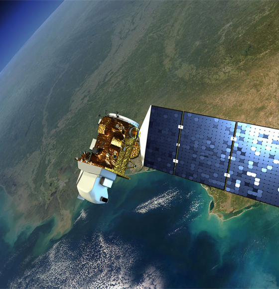
Source: ESA
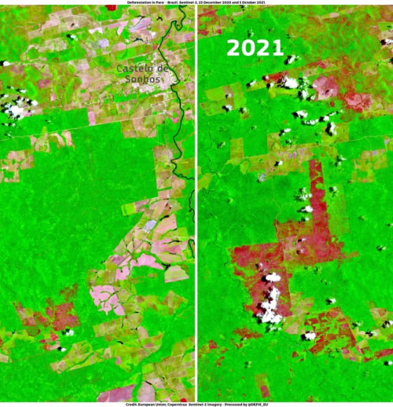
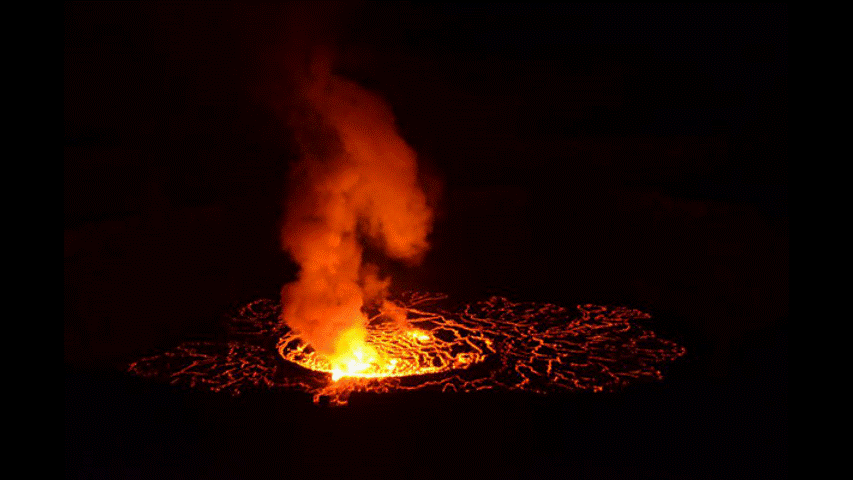
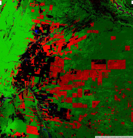
Peak of deforestation in Brazil
Publié le 25 novembre 2021
ESA and NASA launch revolutionary open-source platform
Publié le 4 novembre 2021
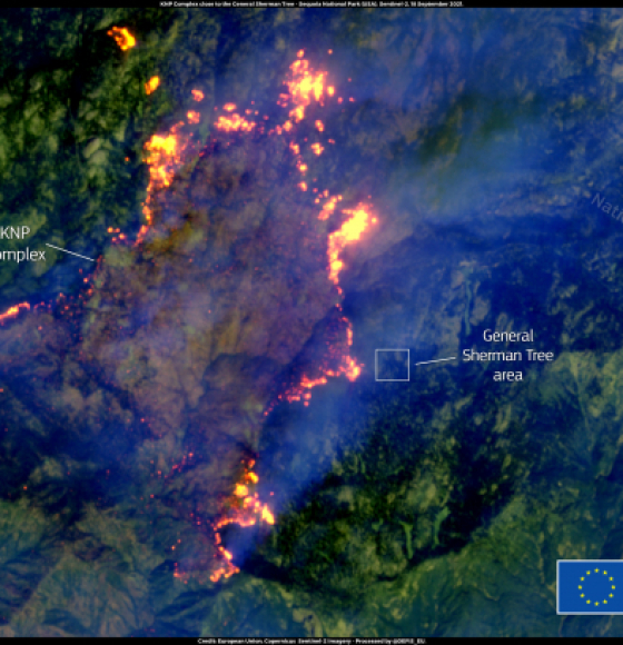
KNP Complex fire in California threatens giant sequoias
Publié le 20 septembre 2021
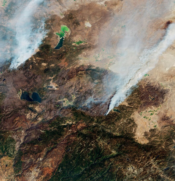
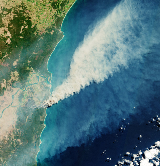
California continues to burn
Publié le 16 septembre 2021
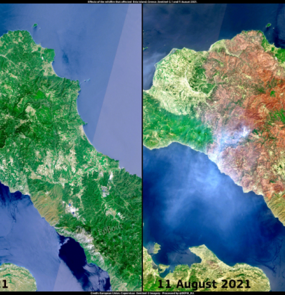
Wildfire in Evia, Greece
Publié le 12 août 2021
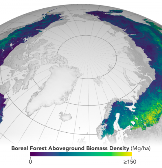
Satellites reveal how forests increase cloud and cool climate
Publié le 6 août 2021
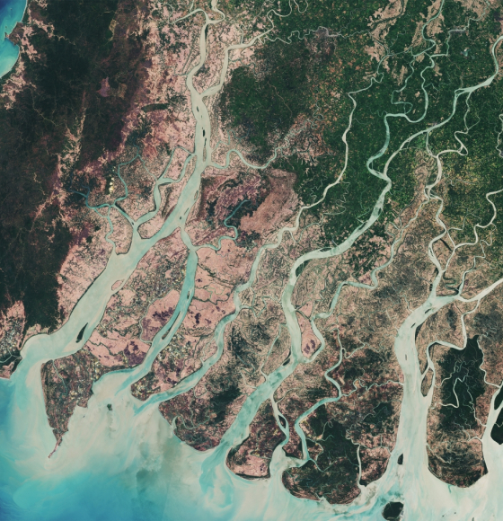
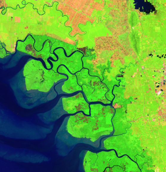
How satellites save mangroves from space
Publié le 26 juillet 2021
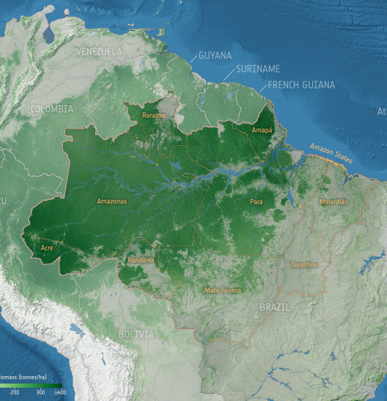
Forest degradation primary driver of carbon loss in the Brazilian Amazon
Publié le 14 juin 2021
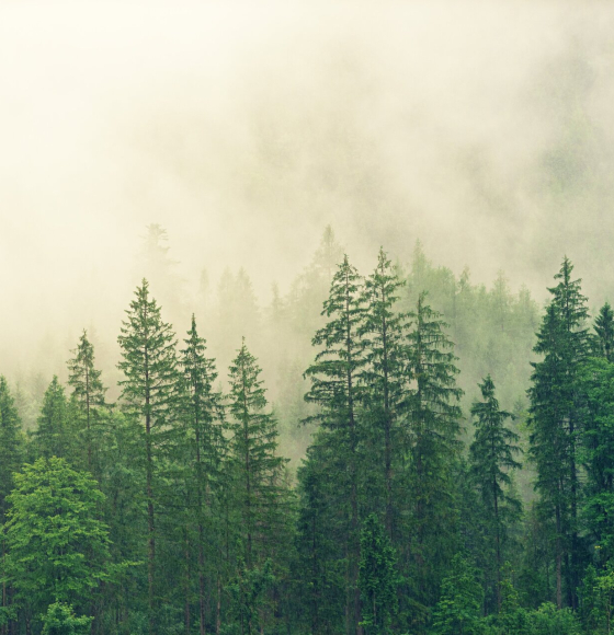
Journée internationale des forêts
Publié le 19 mars 2021
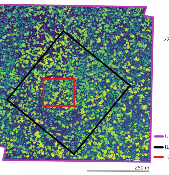
Characterising Termite Mounds in a Tropical Savanna with UAV Laser Scanning
Publié le 19 mars 2021
ESA's Earth from Space: Amazon rainforest
Publié le 19 mars 2021

Monitoring atmospheric gasses during wildfires
Publié le 12 novembre 2020
Assessing California Fire Scars
Publié le 16 octobre 2020
New satellite images to allow anyone, anywhere, to monitor tropical deforestation
Publié le 13 octobre 2020
RiReMo: Les bandes riveraines vues d'en haut
Publié le 24 septembre 2020
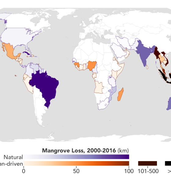
Mapping the Roots of Mangrove Loss
Publié le 26 août 2020
Des données spatiales pour préserver la vie
Publié le 3 mars 2020
Sentinel-1 captures Mato Grosso
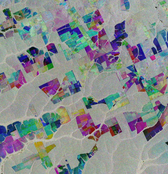
Publié le 6 décembre 2019
MAMAFOREST: la gestion des mangroves grâce aux satellites
Publié le 5 novembre 2019
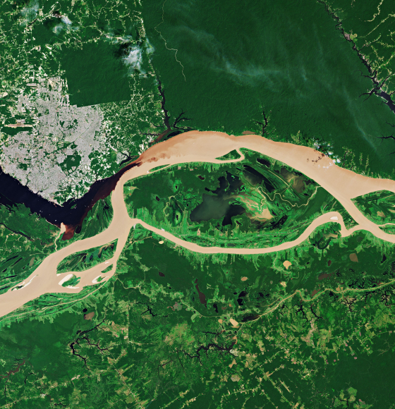
Meeting of Waters
Publié le 3 octobre 2019
Sentinel-2 Captures Australian Bushfires
Publié le 16 septembre 2019