News

Data from a real physical summer school now available for researchers
Published on 11 February 2022
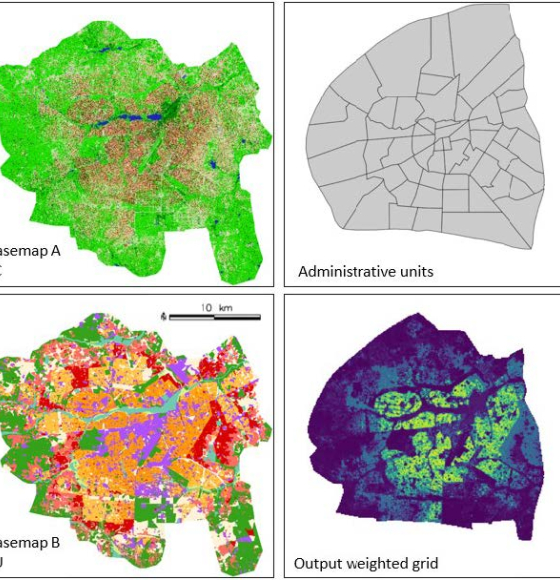
STEREO researchers develop new mapping tool
Published on 16 December 2021
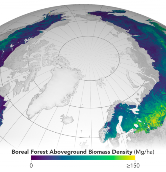
ESA and NASA launch revolutionary open-source platform
Published on 4 November 2021
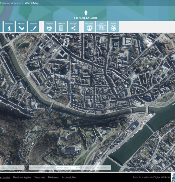
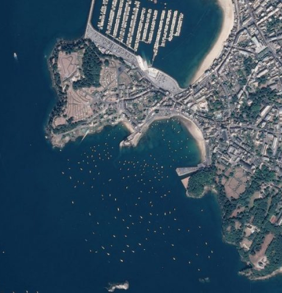
Les photographies aériennes (orthophotos) 2021 de la Wallonie sont en ligne !
Published on 8 October 2021
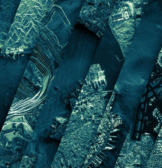
BELHARMONY: a Belgian initiative to harmonize multi-mission EO timeseries
Published on 11 February 2021
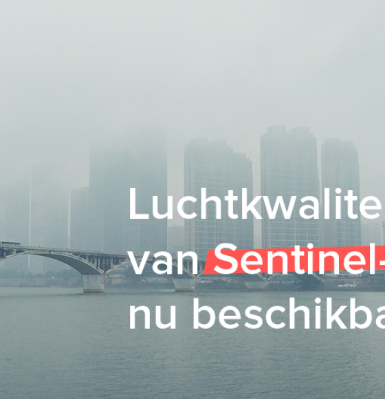
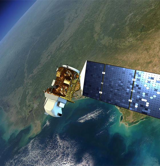
Sentinel-5P air quality data now available
Published on 8 February 2021
A workshop to discover the QGIS tools based on STEREO algorithms
Published on 11 December 2020
DINAMIS, a simplified access point to remote sensing data
Published on 5 November 2020
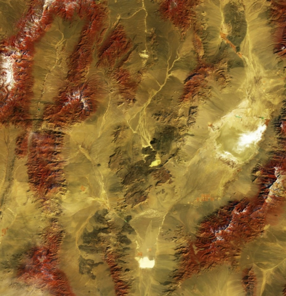
ICEYE Shares Nearly 18,000 Satellite Image Catalog Under Creative Commons License
Published on 13 October 2020
New satellite images to allow anyone, anywhere, to monitor tropical deforestation
Published on 13 October 2020