This programme, managed by the “Space Research and Applications” directorate of the Belgian Science Policy office (BELSPO), offers to Belgian universities, public scientific institutions and non-profit research institutions opportunities and tools for the development of an expertise in Earth observation and a maximized scientific use of satellite and airborne data.
BELGIAN EARTH OBSERVATION DIRECTORY
Discover the world of remote sensing in Belgium: this section gives access to a vast database of knowledge regarding Earth observation in Belgium.
Latest STEREO featured stories
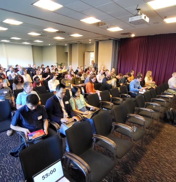
Celebrating the Success of Belgian Earth Observation Day 2024
Published on 23 May 2024

BEETPHEN: Mildew detection in sugar beets takes to the sky
Published on 21 May 2021
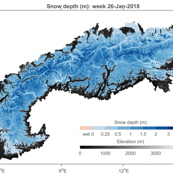
SNOPOST: New methods for remote sensing of snow cover studied during NASA's SnowEx campaign
Published on 3 May 2021
Pictures from the TIMBERS field campaign
Published on 14 April 2021
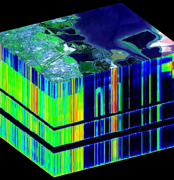
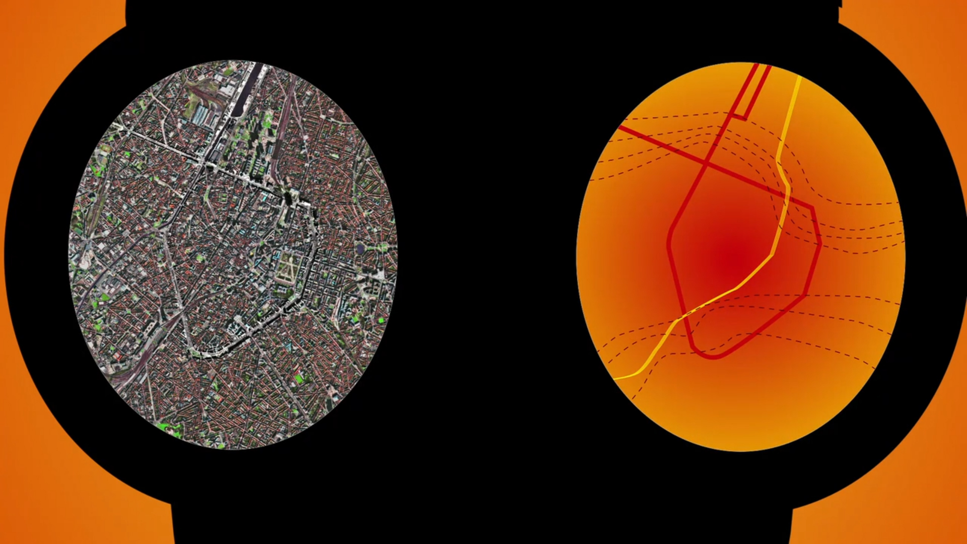
GEOMIX: Gaining better understanding by breaking down the signal
Published on 12 April 2021
New GeoRiskA website
Published on 29 March 2021
International Day of Forests
Published on 19 March 2021
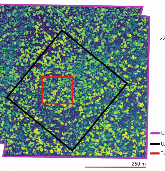
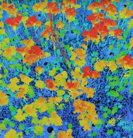
Characterising Termite Mounds in a Tropical Savanna with UAV Laser Scanning
Published on 19 March 2021
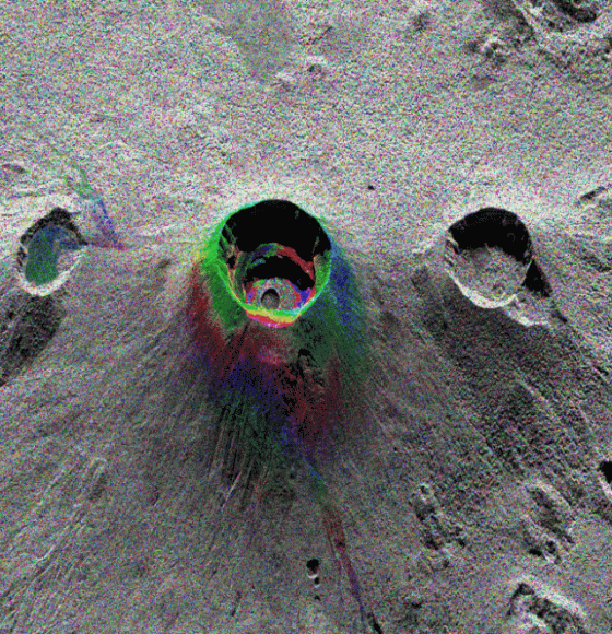
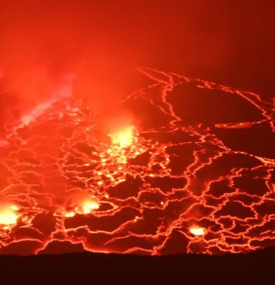
MUZUBI: using interferometry to evaluate volcanic risks
Published on 23 February 2021
BELHARMONY: a Belgian initiative to harmonize multi-mission EO timeseries
Published on 11 February 2021
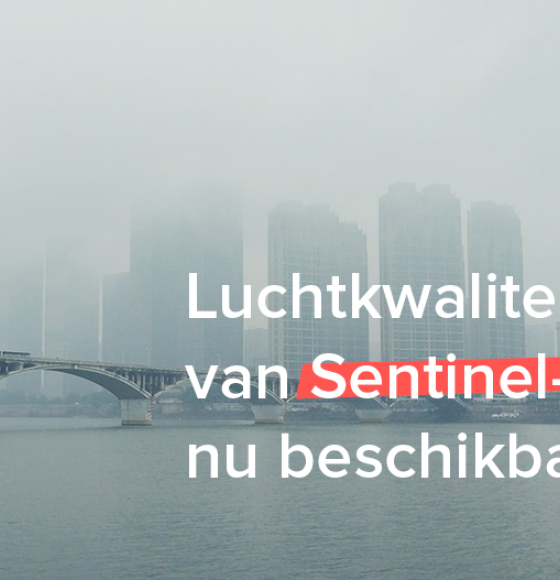
Sentinel-5P air quality data now available
Published on 8 February 2021