This programme, managed by the “Space Research and Applications” directorate of the Belgian Science Policy office (BELSPO), offers to Belgian universities, public scientific institutions and non-profit research institutions opportunities and tools for the development of an expertise in Earth observation and a maximized scientific use of satellite and airborne data.
BELGIAN EARTH OBSERVATION DIRECTORY
Discover the world of remote sensing in Belgium: this section gives access to a vast database of knowledge regarding Earth observation in Belgium.
Latest STEREO featured stories
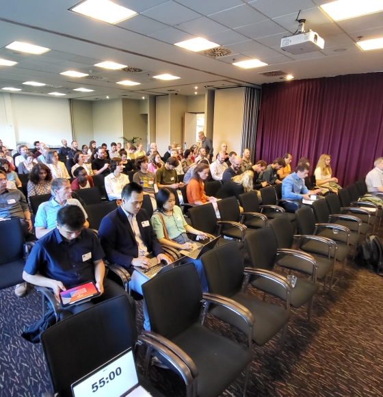
Celebrating the Success of Belgian Earth Observation Day 2024
Published on 23 May 2024
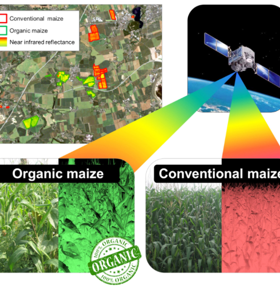
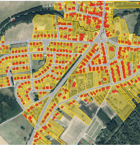
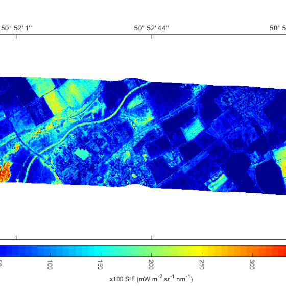
Multispectral Remote Sensing as a Tool to Support Organic Crop Certification
Published on 5 February 2021

Belgian researcher Stephanie Horion awarded in Denmark
Published on 28 January 2021

Women in Copernicus: a project meant to reinvent women's place in space
Published on 26 January 2021
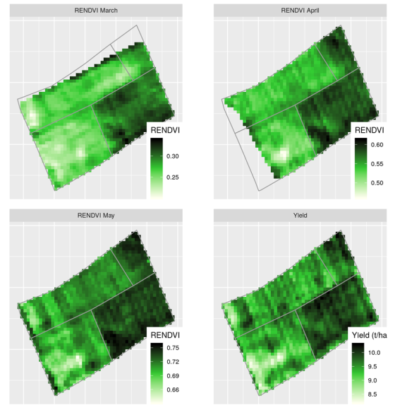
UAVSoil: Using drones to optimize agricultural plot management
Published on 23 January 2021
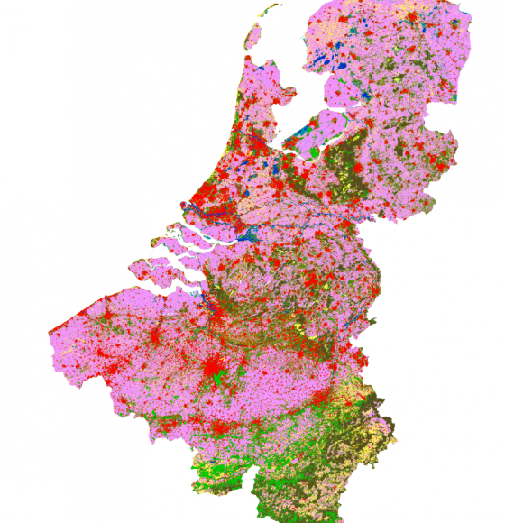
GARMON: Mapping and characterizing gardens using remote sensing
Published on 12 January 2021
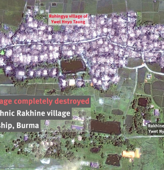
STENTOR: How Earth observation helps humanitarian organisations save lives
Published on 21 December 2020
A workshop to discover the QGIS tools based on STEREO algorithms
Published on 11 December 2020
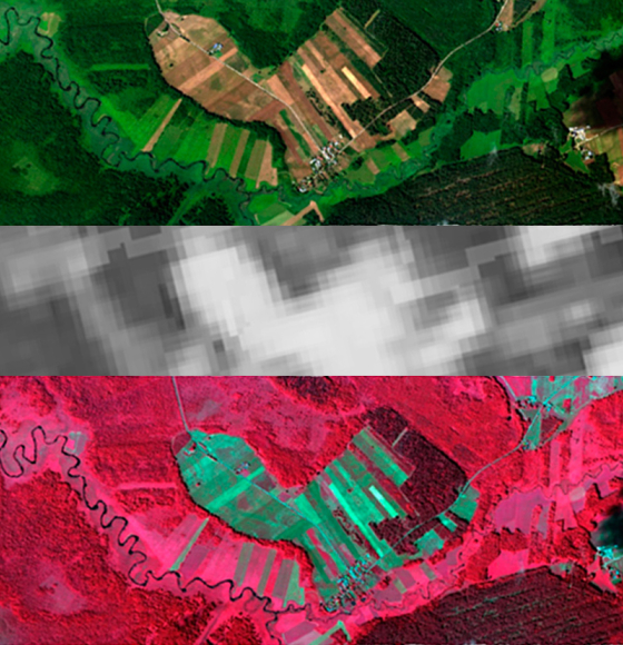
HIWET: Using satellite images for wetland vegetation monitoring
Published on 3 December 2020
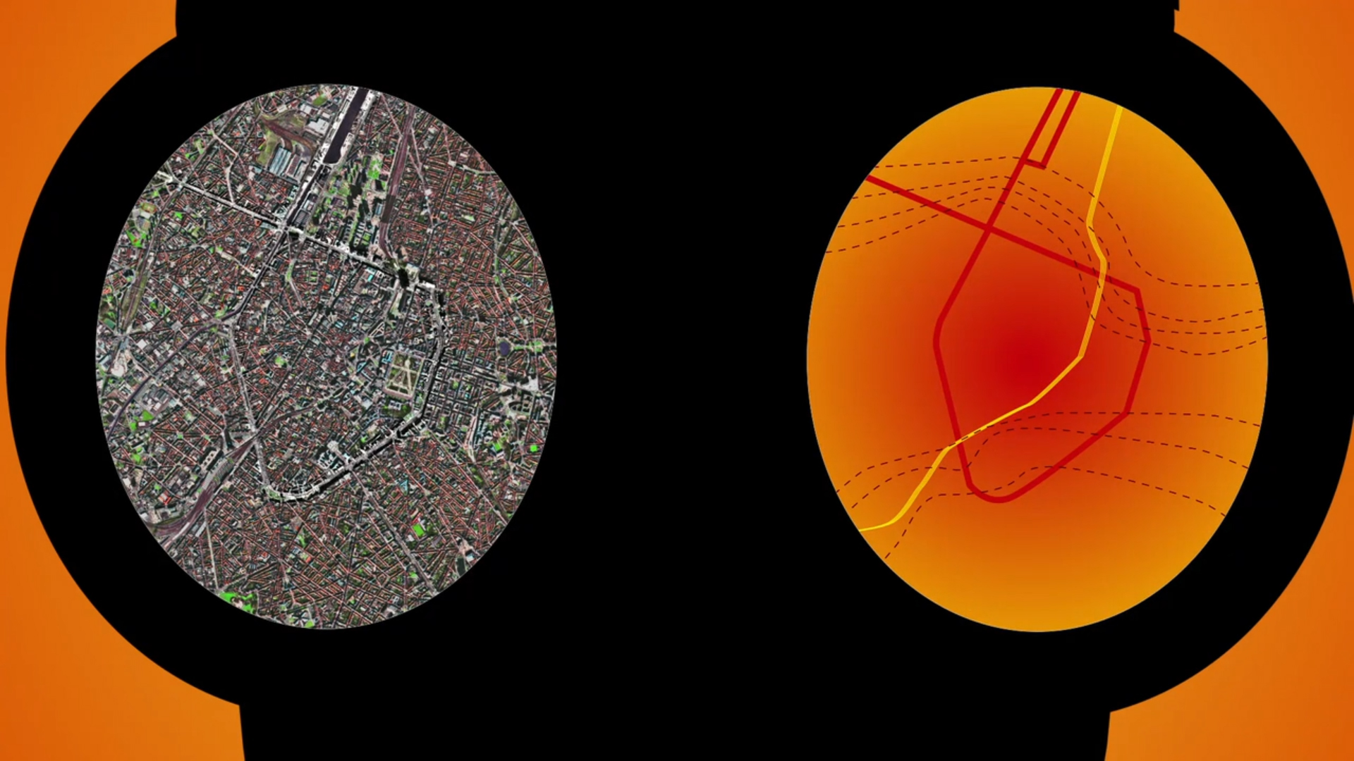
HYPERCITY: Biomonitoring of Air Quality in Urban Areas
Published on 6 November 2020
Belgian Earth Observation Day 2020 is crossing borders
Published on 6 October 2020