News

ESA’s Biomass data now available
Gepubliceerd op 29 januari 2026

St3TART-FO: advancing Earth Observation validation
Gepubliceerd op 16 juni 2025
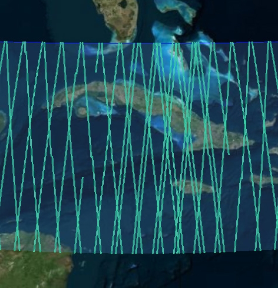
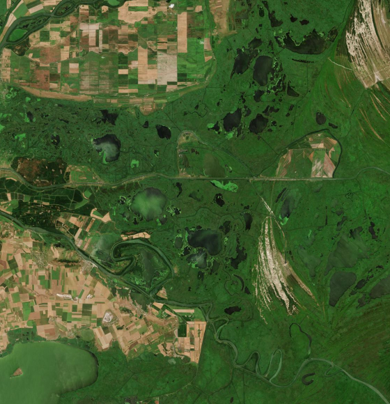
New Ocean data and more boost CryoSat data platform
Gepubliceerd op 17 april 2024
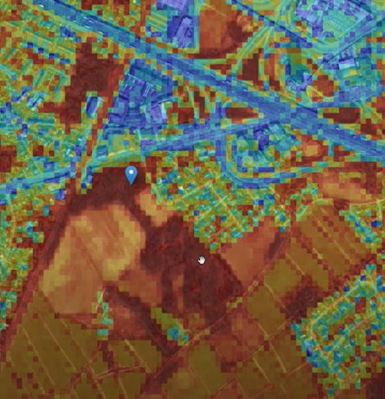
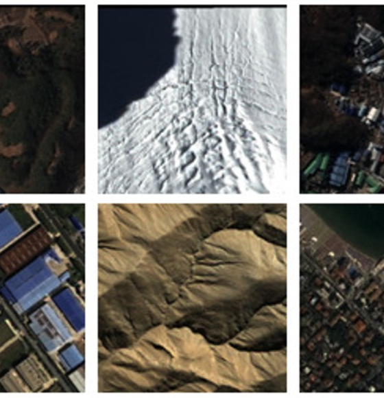
AI-driven change detection in the GRB of Flanders
Gepubliceerd op 8 juni 2023
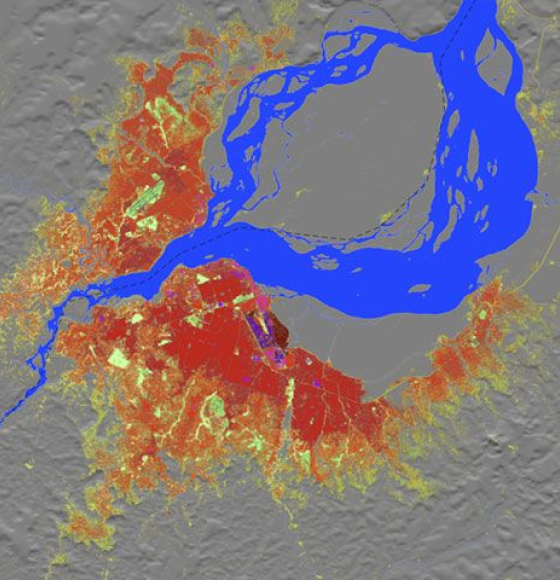
Global Human Settlement Layer- Open and free data and tools for assessing the human presence on the planet
Gepubliceerd op 9 mei 2023
New collections available: Cloud Free Landsat 5 TM and Landsat 7 ETM+ European and Mediterranean Countries
Gepubliceerd op 24 november 2022
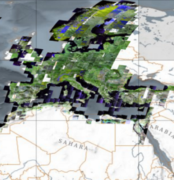
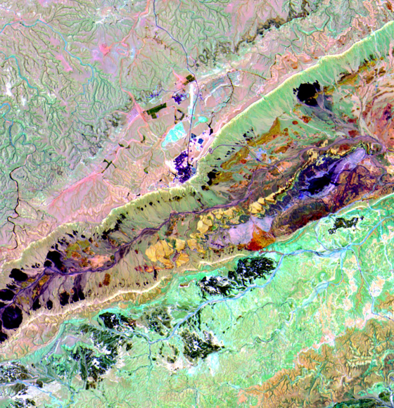
New worldwide dataset captures the planet in fine detail
Gepubliceerd op 17 november 2022
EnMAP is ready for science!
Gepubliceerd op 3 november 2022
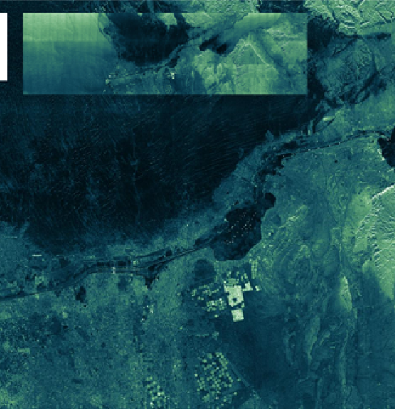
ICEYE ESA archive collection now available to users
Gepubliceerd op 7 oktober 2022
New rolling archive policy for Sentinel data in Terrascope
Gepubliceerd op 3 juni 2022