News
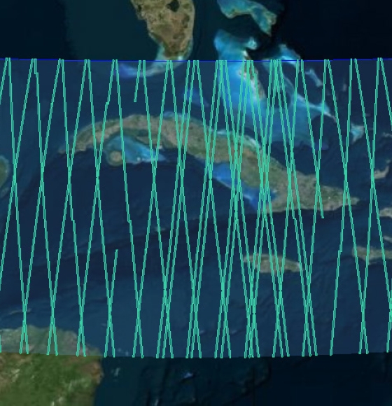
New Ocean data and more boost CryoSat data platform
Publié le 17 avril 2024
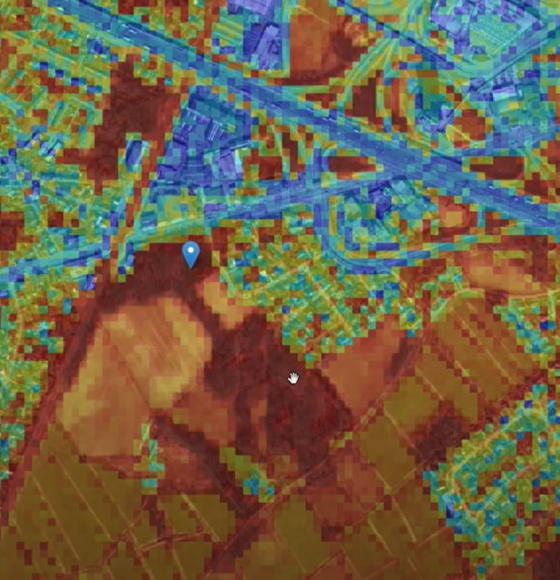
AI-driven change detection in the GRB of Flanders
Publié le 8 juin 2023
New collections available: Cloud Free Landsat 5 TM and Landsat 7 ETM+ European and Mediterranean Countries
Publié le 24 novembre 2022
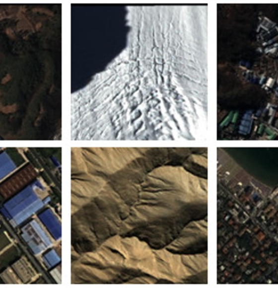
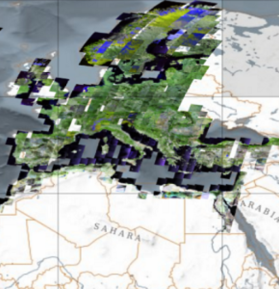
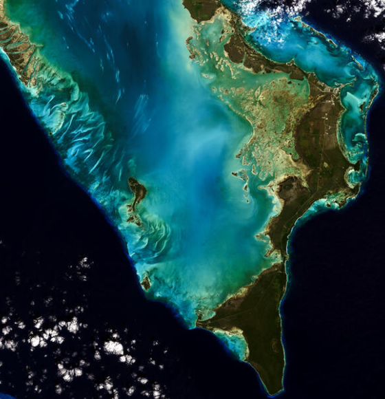
New worldwide dataset captures the planet in fine detail
Publié le 17 novembre 2022
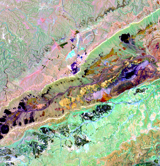
EnMAP is ready for science!
Publié le 3 novembre 2022
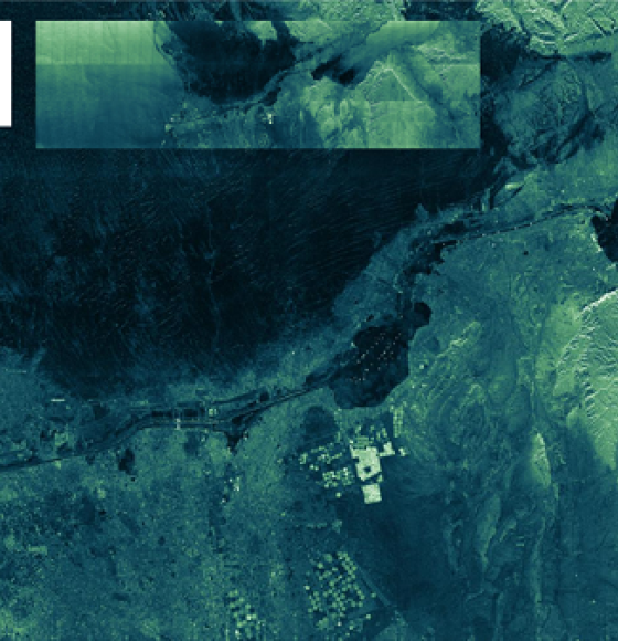
ICEYE ESA archive collection now available to users
Publié le 7 octobre 2022
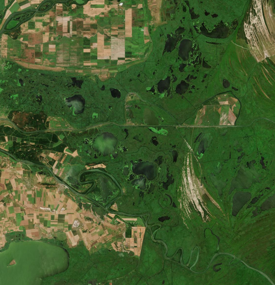
New rolling archive policy for Sentinel data in Terrascope
Publié le 3 juin 2022
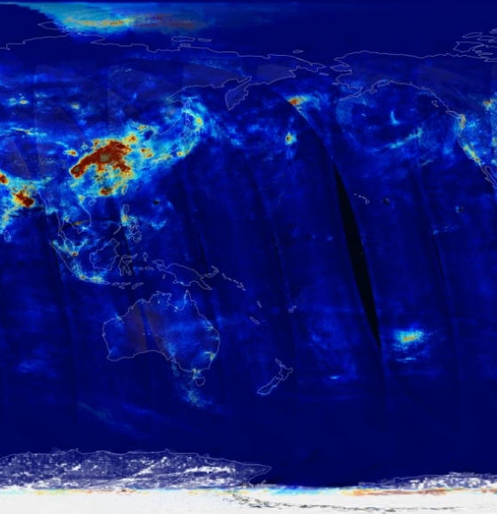
De nouvelles données Sentinel-5P sur la qualité de l'air en 2022
Publié le 24 février 2022
Landsat 9 Data Release Extends Unparalleled Earth Observation Archive
Publié le 18 février 2022