News
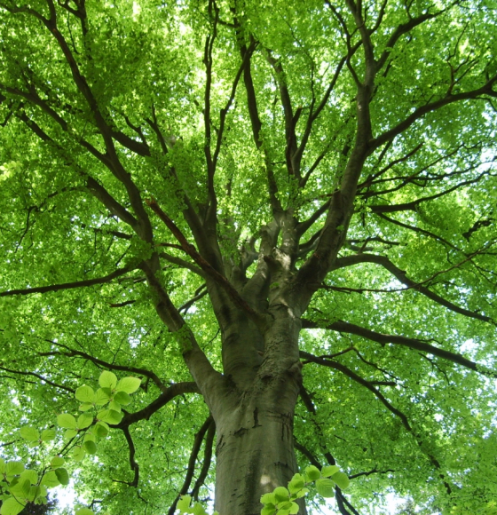
ALBERI : Comment les arbres affectent-ils l'atmosphère terrestre en cas de sécheresse ?
Publié le 21 mars 2022
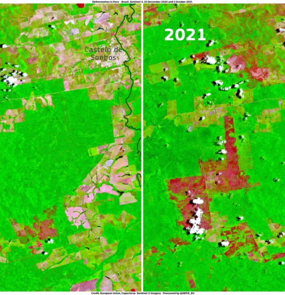
Peak of deforestation in Brazil
Publié le 25 novembre 2021
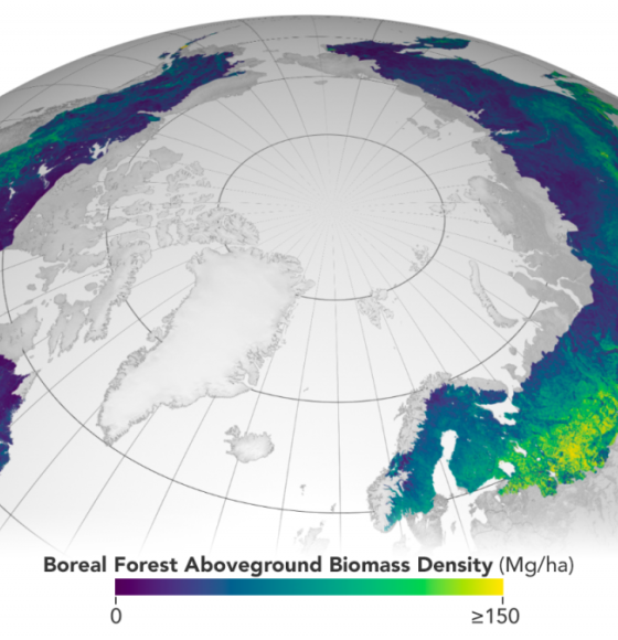
ESA and NASA launch revolutionary open-source platform
Publié le 4 novembre 2021
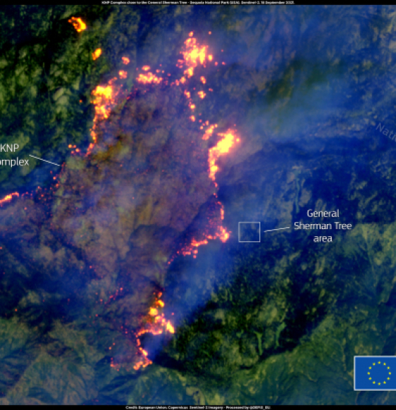
KNP Complex fire in California threatens giant sequoias
Publié le 20 septembre 2021
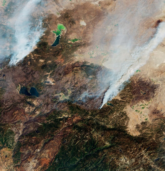
California continues to burn
Publié le 16 septembre 2021
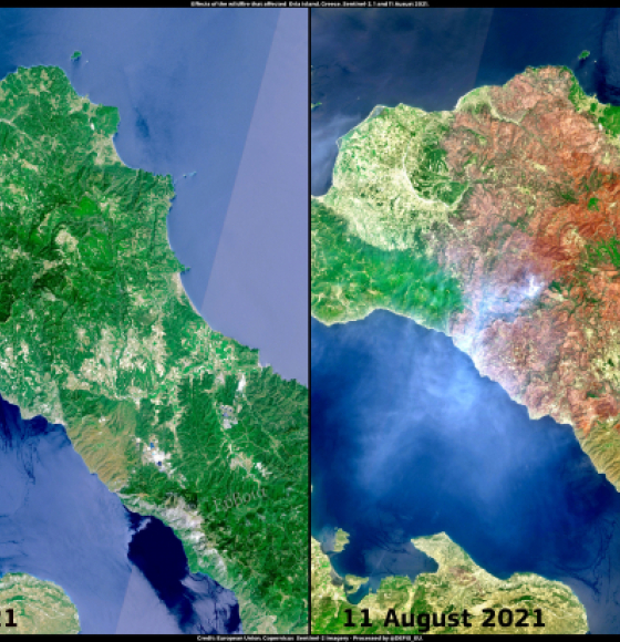
Wildfire in Evia, Greece
Publié le 12 août 2021
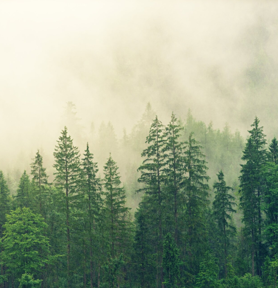
Satellites reveal how forests increase cloud and cool climate
Publié le 6 août 2021
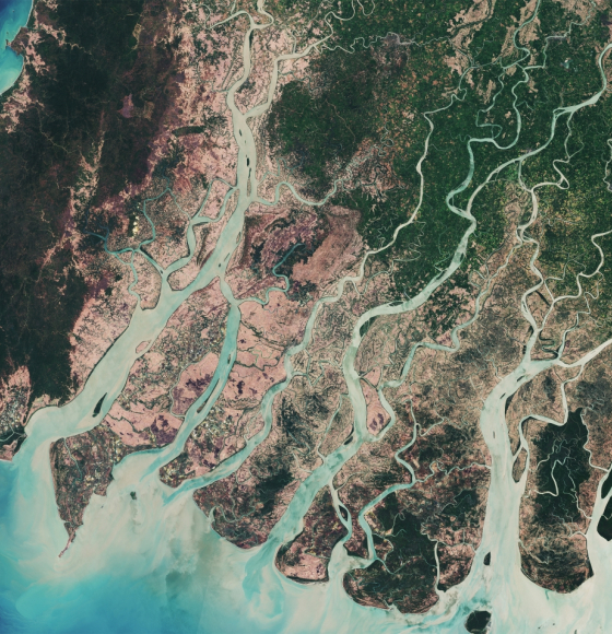
How satellites save mangroves from space
Publié le 26 juillet 2021
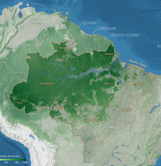
Forest degradation primary driver of carbon loss in the Brazilian Amazon
Publié le 14 juin 2021