News
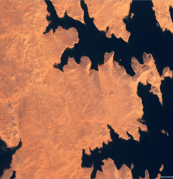
New Pléiades images available – free of charge!
Published on 6 March 2020
Explore PROBA-V's extensive use cases
Published on 21 February 2020
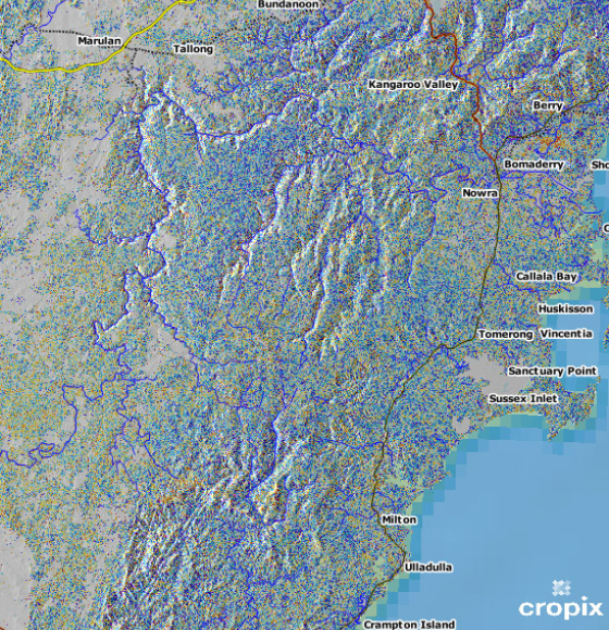
Copernicus Sentinel-1 delivers change maps for wildfires
Published on 12 February 2020

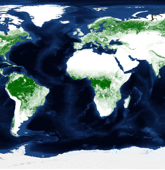
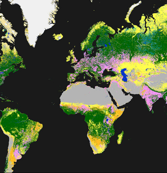
Copernicus Global Land Cover Maps now Available in Google Earth Engine
Published on 4 February 2020
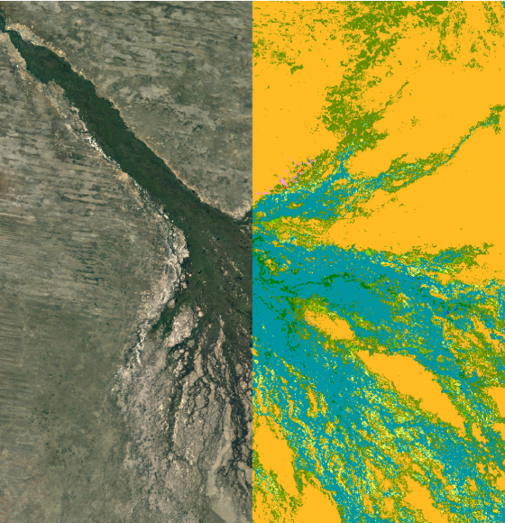
PROBA-V launches annual land cover maps over Africa
Published on 22 January 2020
Time to release the new and improved land cover maps
Published on 14 May 2019
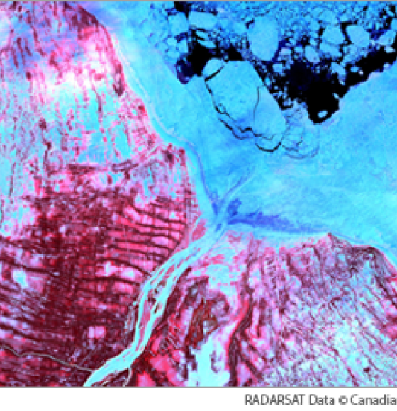
Open data: over 36,000 historical RADARSAT-1 satellite images of the Earth now available to the public
Published on 3 April 2019
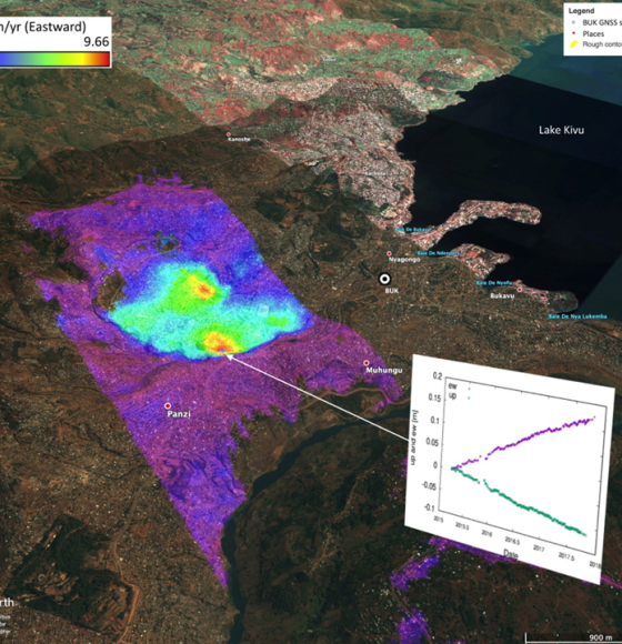
Complete InSAR suite developed by CSL's Signal Lab
Published on 27 November 2018