News

Satellite Imagery Monitoring Conflict & Arms Embargo
Publié le 5 novembre 2020

Severe Drought in South America
Publié le 4 novembre 2020

Large, deep Antarctic Ozone Hole persisting into November
Publié le 4 novembre 2020

Germany land motion mapped by Sentinel-1
Publié le 4 novembre 2020

CryoSat-2 Data Used to Measure Ionospheric Currents
Publié le 2 novembre 2020


Antarctic ozone hole is one of the largest and deepest in recent years
Publié le 20 octobre 2020
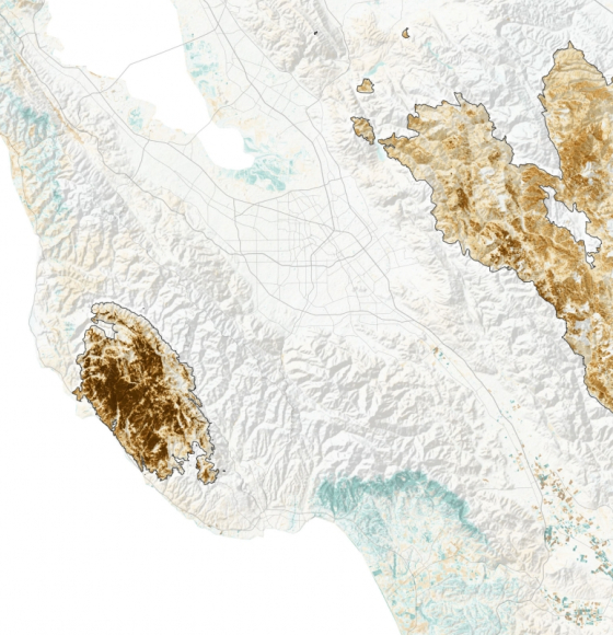
Assessing California Fire Scars
Publié le 16 octobre 2020
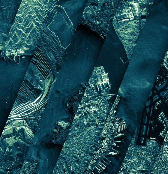
ICEYE Shares Nearly 18,000 Satellite Image Catalog Under Creative Commons License
Publié le 13 octobre 2020
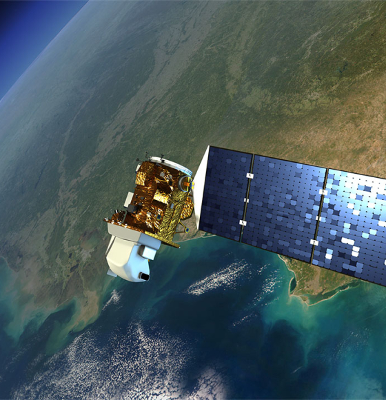
New satellite images to allow anyone, anywhere, to monitor tropical deforestation
Publié le 13 octobre 2020