News
Nieuwe Sentinel-5P-luchtkwaliteitsproducten beschikbaar later dit jaar!
Gepubliceerd op 1 maart 2022
Landsat 9 Data Release Extends Unparalleled Earth Observation Archive
Gepubliceerd op 18 februari 2022

Een echte fysieke Summer School leverde gegevens op die nu beschikbaar zijn voor onderzoekers
Gepubliceerd op 11 februari 2022
STEREO researchers develop new mapping tool
Gepubliceerd op 16 december 2021
ESA and NASA launch revolutionary open-source platform
Gepubliceerd op 4 november 2021
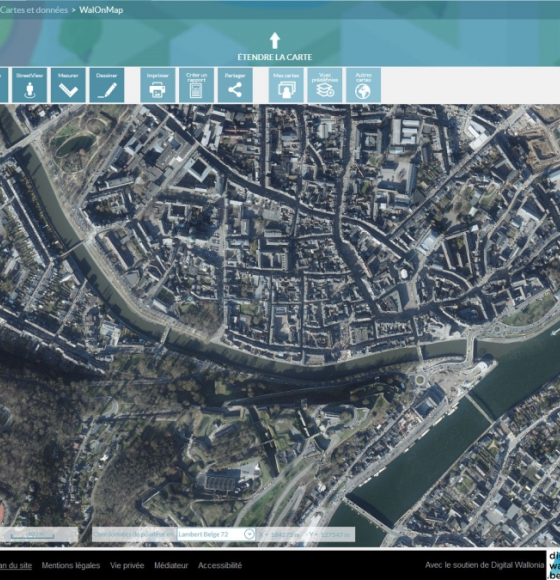
Les photographies aériennes (orthophotos) 2021 de la Wallonie sont en ligne !
Gepubliceerd op 8 oktober 2021
BELHARMONY: a Belgian initiative to harmonize multi-mission EO timeseries
Gepubliceerd op 11 februari 2021
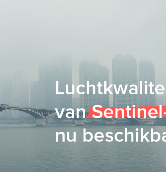
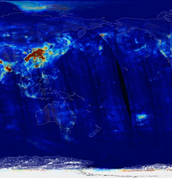
Sentinel-5P luchtkwaliteitsdata beschikbaar
Gepubliceerd op 8 februari 2021
A workshop to discover the QGIS tools based on STEREO algorithms
Gepubliceerd op 11 december 2020
DINAMIS, a simplified access point to remote sensing data
Gepubliceerd op 5 november 2020