Among the news items published on this site, you'll find below commented satellite images, webstories explaining the why and how of STEREO projects, press articles and interviews of our researchers, and videos of our partners. Browse through them below by choosing the type of news or by selecting a tag.
STEREO PROJECTS VIDEOS
|
STEREO III Photo album |
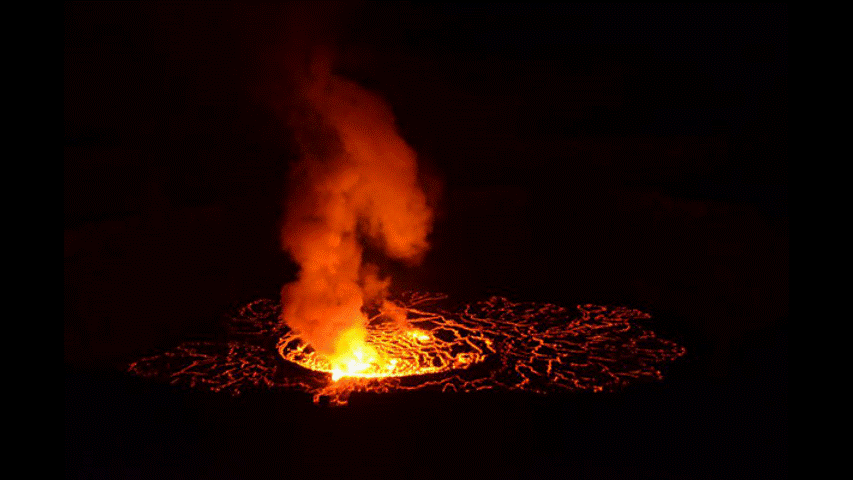
RDC : à la découverte du volcan Nyiragongo, "aux portes de l'enfer - MUZUBI project |
BEETPHEN project, toward drone-based phenotyping in sugar beet breeding trials |
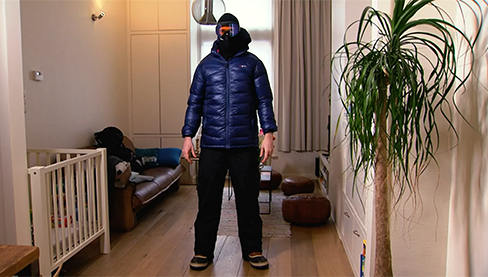
Vlaamse onderzoeker vertrekt samen met NASA op sneeuwexpeditie - SNOPOST & CSNOW projects |
Copernicus4Regions user stories- Interview Wallonia - SARSAR project |
Het hitte-eilandeffect. Hoe voorkomen we snikhete nachten? - URBANEARS project |
|
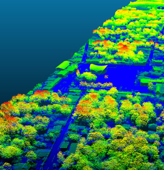
3D fly-through of Litchfield Savanna TERN supersite - 3D FOREST project |
Field Campaign in Biebrza National Park, Poland - HIWET project |
Drones to monitor water quality - DRONESED project
|
Watch iT Grow, een nieuw online platform voor aardappelmonitoring - iPOT project |
STEREO PROGRAMME
Watch these two videos below to discover in a few minutes what the STEREO programme is and get an overview of some applications covered by the research funded by the STEREO programme.
FEATURED VIDEOS
Source: ESA
The lost world of the Mayans revealed by satellites
Published on 29 July 2022
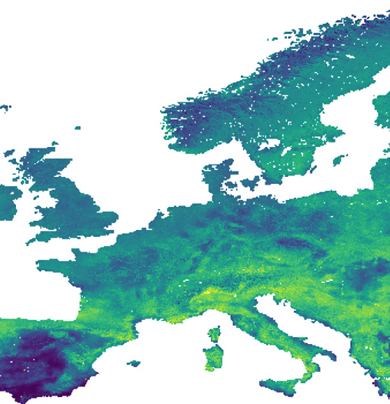
ET–SENSE: High resolution evaporation and soil moisture based on the Sentinel constellation
Published on 24 June 2022
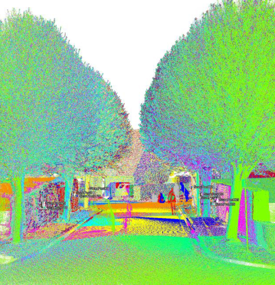
3D-CITREES: Tools to estimate the importance of urban trees
Published on 3 March 2022
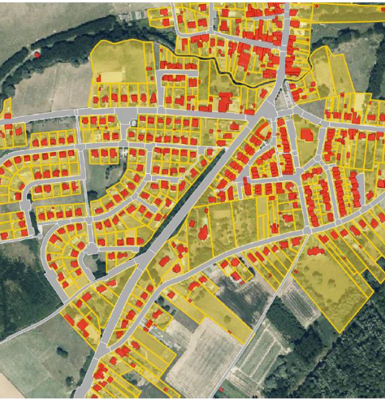
SARSAR: Sentinel data for urban planning and land management
Published on 21 January 2022
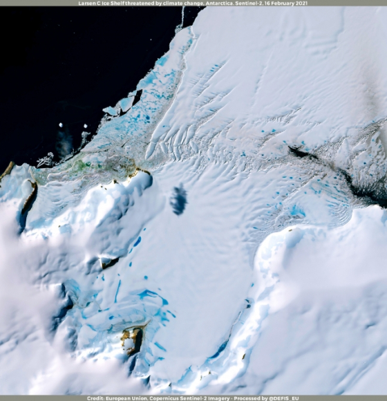
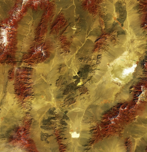
Antarctica matters, now more than ever
Published on 26 November 2021
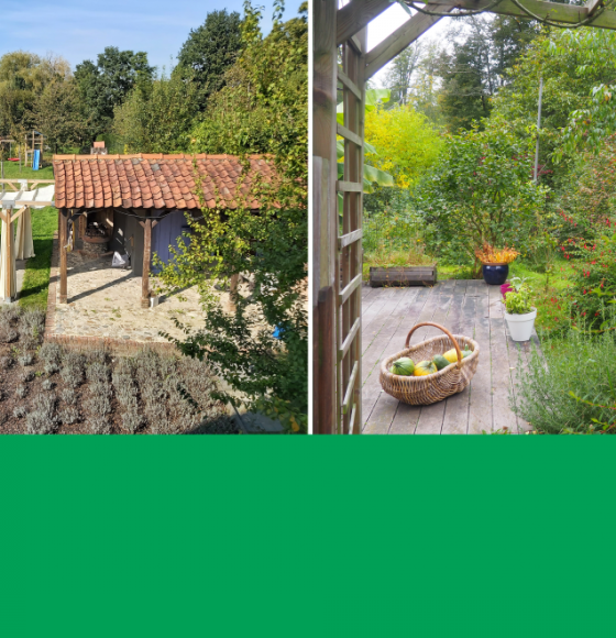
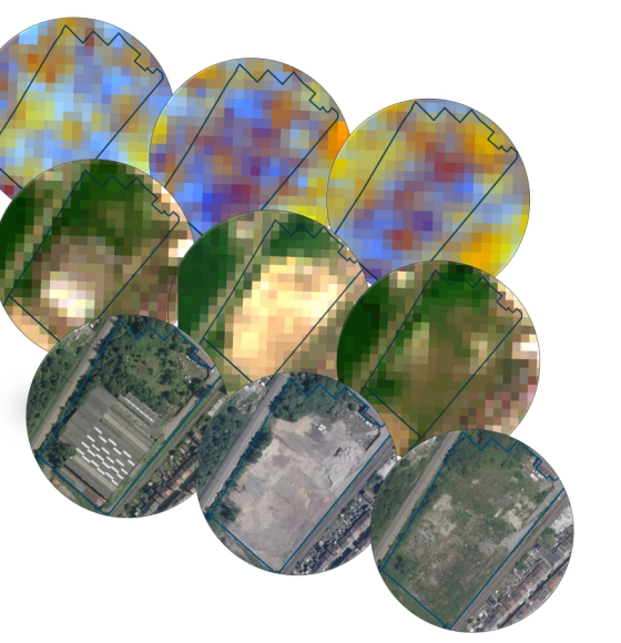
GARVAL: A garden map validated by citizens
Published on 15 October 2021
REACT improves malaria risk prediction
Published on 2 August 2021
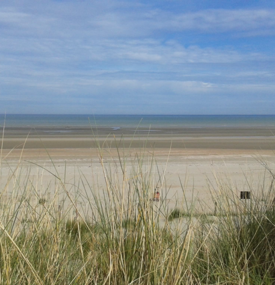
The morphodynamics of Belgian beaches under the magnifying glass of the RS4Mody project
Published on 24 June 2021
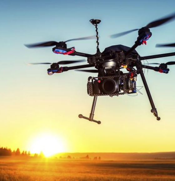
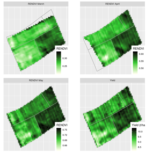
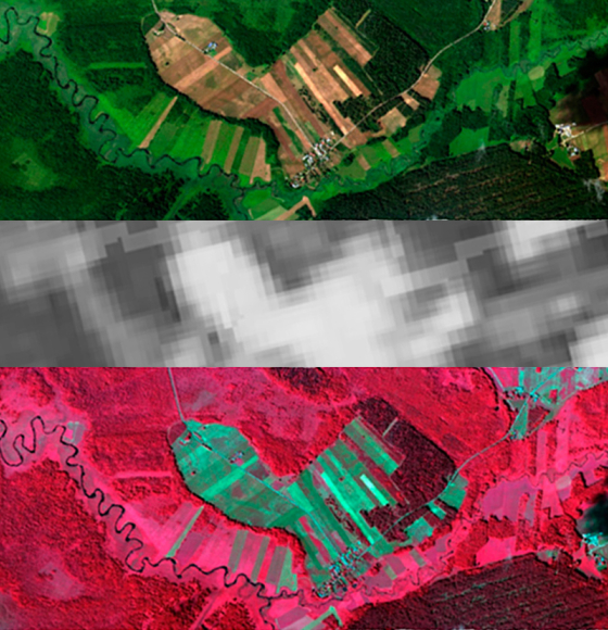
BEETPHEN: Mildew detection in sugar beets takes to the sky
Published on 21 May 2021
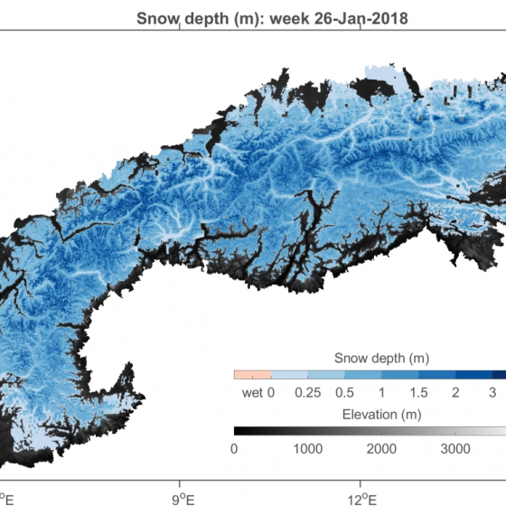
SNOPOST: New methods for remote sensing of snow cover studied during NASA's SnowEx campaign
Published on 3 May 2021
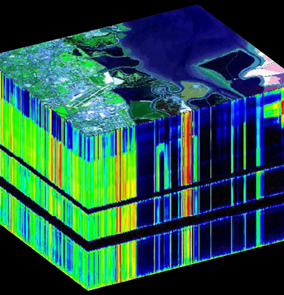
GEOMIX: Gaining better understanding by breaking down the signal
Published on 12 April 2021
International Day of Forests
Published on 19 March 2021
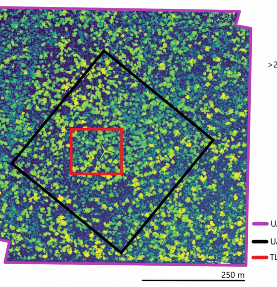
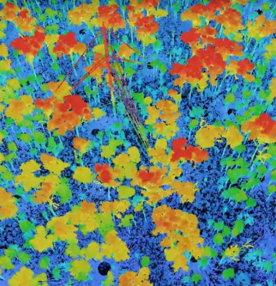
Characterising Termite Mounds in a Tropical Savanna with UAV Laser Scanning
Published on 19 March 2021
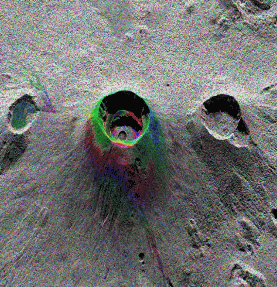
MUZUBI: using interferometry to evaluate volcanic risks
Published on 23 February 2021
BELHARMONY: a Belgian initiative to harmonize multi-mission EO timeseries
Published on 11 February 2021
UAVSoil: Using drones to optimize agricultural plot management
Published on 23 January 2021
GARMON: Mapping and characterizing gardens using remote sensing
Published on 12 January 2021
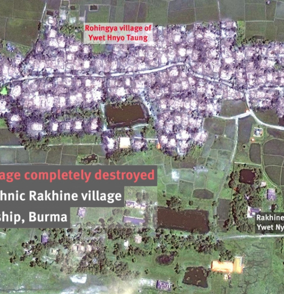
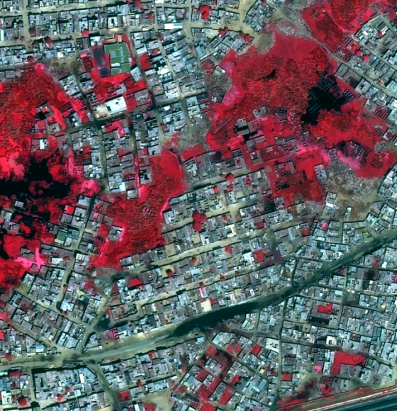
STENTOR: How Earth observation helps humanitarian organisations save lives
Published on 21 December 2020
HIWET: Using satellite images for wetland vegetation monitoring
Published on 3 December 2020
HYPERCITY: Biomonitoring of Air Quality in Urban Areas
Published on 6 November 2020
RiReMo: Riparian zones viewed from the top
Published on 25 September 2020
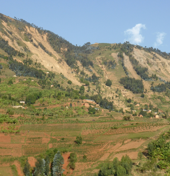
RESIST: Tracking the rainfalls that trigger landslides in Central Africa
Published on 25 August 2020