News
A workshop to discover the QGIS tools based on STEREO algorithms
Publié le 11 décembre 2020
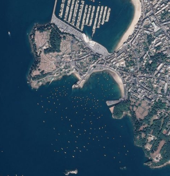
DINAMIS, a simplified access point to remote sensing data
Publié le 5 novembre 2020
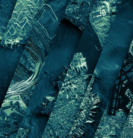
ICEYE Shares Nearly 18,000 Satellite Image Catalog Under Creative Commons License
Publié le 13 octobre 2020
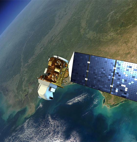
New satellite images to allow anyone, anywhere, to monitor tropical deforestation
Publié le 13 octobre 2020
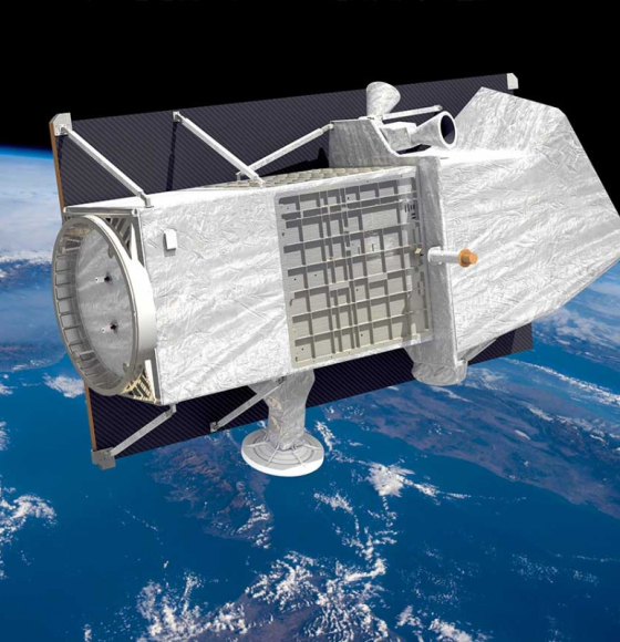
Free hyperspectral data from Italy's PRISMA satellite
Publié le 17 août 2020
WEkEO V1 now available, offering a range of improvements and new functionalities
Publié le 17 juin 2020

RACE dashboard now available
Publié le 5 juin 2020
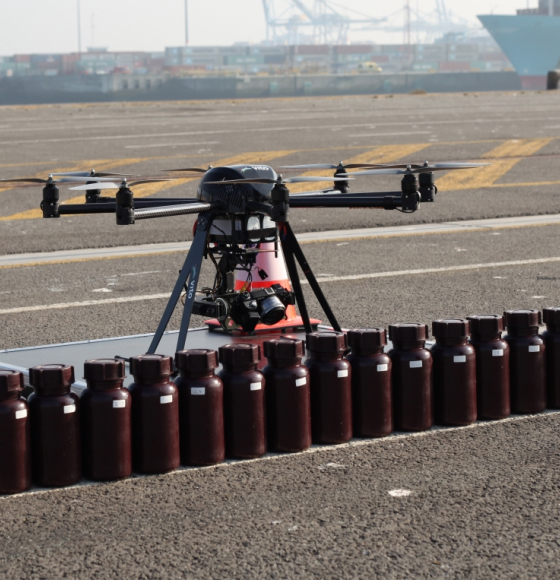
BELAIR: une manne de données belges en support à la recherche
Publié le 29 mai 2020
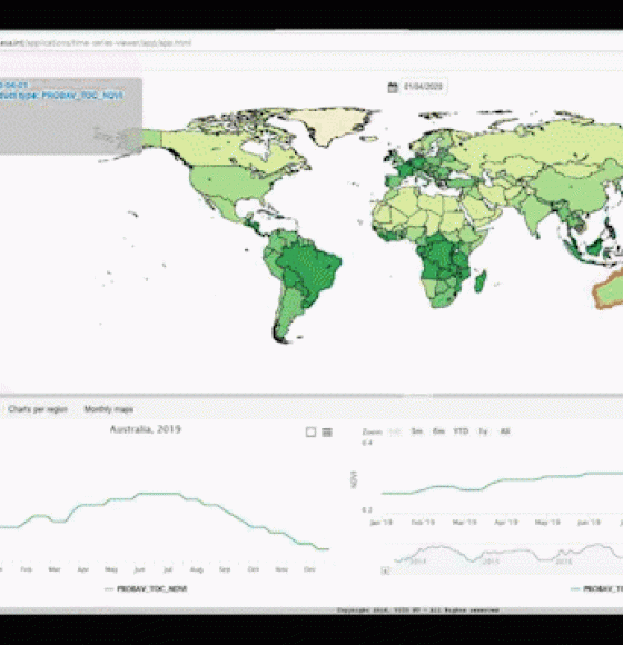
PROBA-V MEP, ready for an upgrade
Publié le 20 mai 2020
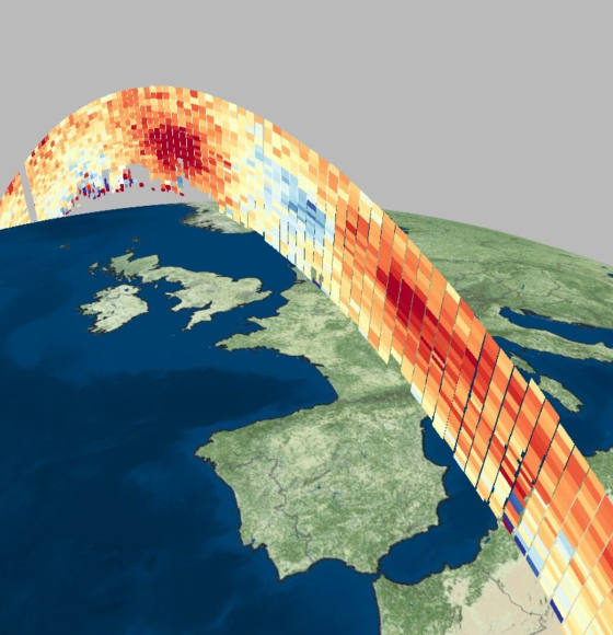
Aeolus goes public
Publié le 12 mai 2020