1.1- Satellites & Orbits
The first earth observation satellites were launched in the early 1970s. The earth's surface could be examined continuously and uniformly from a whole new perspective. Nowadays, more and more applications use images taken from satellites because of several important advantages these platforms offer: they are synoptic (they offer the possibility to register very large areas at once), repetitive (the same satellite regularly returns to the same place) and homogeneous (data is always registered in the same way by a sensor).
|
The satellite must have sufficient speed at launch to reach and maintain the correct orbit around the earth. If its speed decreases, it will spiral into an orbit that brings it closer and closer to the earth until it eventually crashes into it. If the speed is too high, the opposite happens: the satellite spirals further and further away and eventually escapes the Earth's gravitational pull. This technique is used to launch probes that study other celestial bodies in our solar system. Source: How Do We Launch Things Into Space? - NASA Space Place |
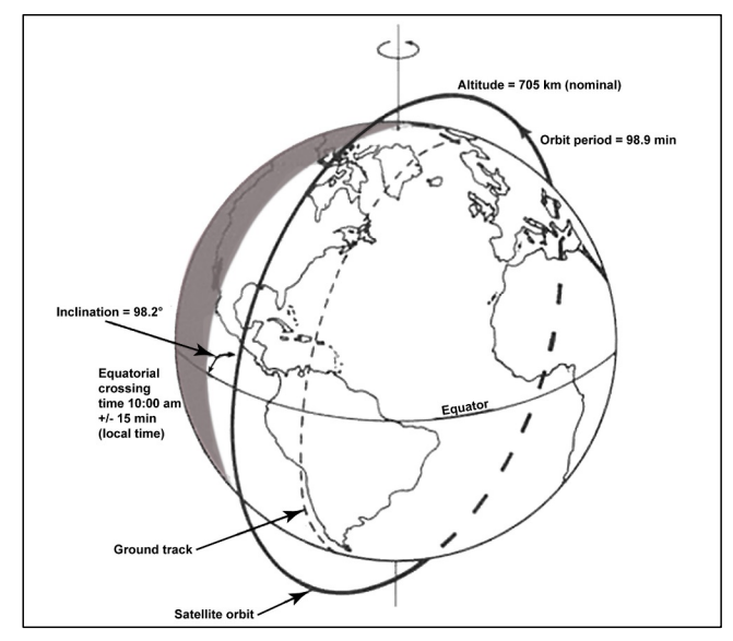
The type of trajectory that satellites take around the earth (the orbit) is chosen based on what we want to observe and how we want to observe it. The orbit has various characteristics including the distance to the earth, the orbital period and the inclination (angle of inclination of the orbit relative to the equatorial plane).

Main orbital characteristics of the Landsat 7 satellite. Source: USGS (2019), Landsat 7 Data Users Handbook.
Based on these characteristics, we can distinguish the following orbits:
Geostationary orbit
A geostationary orbit ensures that the satellite is always above the same point on Earth and therefore appears to be standing still. This happens in the equatorial plane at a distance of approximately 35,890 km from Earth. The orbit therefore has an inclination angle of 0° and the satellite's ground track follows the line of the equator. The orbital period is equal to one day (23 hours, 56 minutes and 4 seconds).

A geostationary satellite therefore takes the same amount of time to complete one orbit of the earth as the earth takes to rotate on its axis. This means that the relative position above the equator always remains the same.
Due to their relatively large distance, geostationary satellites can observe a very large area of the earth at once.
Only three such satellites at equal distances from one another are sufficient to continuously observe almost the entire earth. Meteorological and telecommunications satellites are usually geostationary. Examples are the European Data Relay System (EDRS), which uses satellites in a geostationary orbit to continuously transmit information between other satellites and ground stations, and the well-known Meteosat weather satellites.
Polar orbit
A satellite in a polar orbit passes the North and South Poles with every revolution. This does not mean that the angle of inclination has to be exactly 90°. In practice, orbits that deviate 20° to 30° from this are still called polar orbits. It is a form of a Low Earth Orbit (LEO), an orbit that comes relatively close to the surface of the Earth (less than 1000 km or even 160 km).

Earth observation satellites are usually placed in a near-polar orbit. While the satellite follows its trajectory from pole to pole, the earth rotates from west to east. Over a number of revolutions, the satellite can therefore image the entire earth.
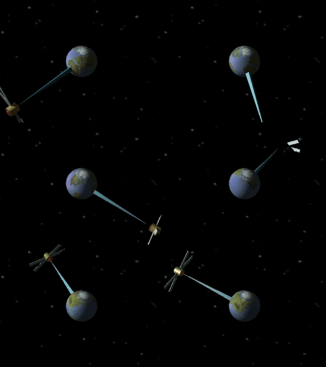
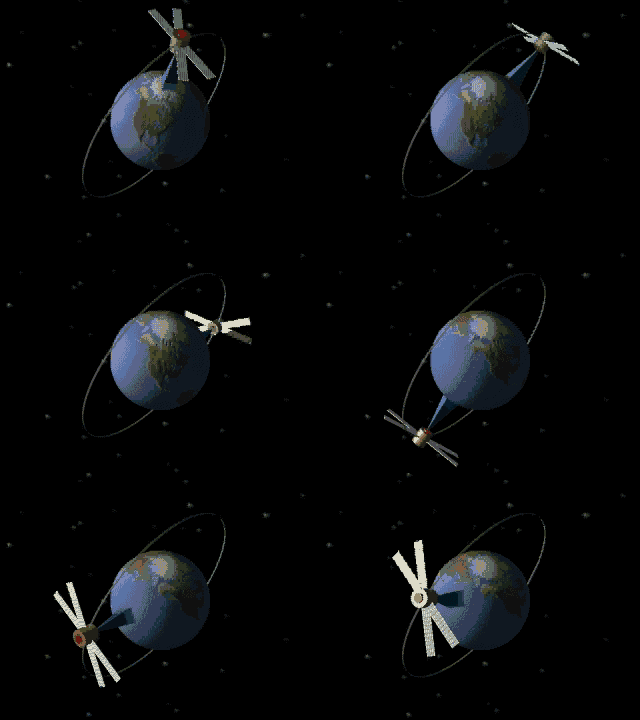
The video below illustrates the difference between a geostationary orbit (third-generation Meteosat) and a polar orbit (second-generation Metop):
Source: Planned launches - An overview of satellites launching during the period 2022-2039 (Eumetsat)
Sun-synchronous orbit
A sun-synchronous orbit is a special case of a polar orbit that ensures the satellite always passes over a particular area at the same local solar time. Such satellites therefore always have the same local position in relation to the sun and they observe that place at the same time of day. This allows the images to be better used to study local changes over time. After all, it would not be useful to compare images that were made under completely different lighting conditions, for example, one day at noon and the other day at dusk.
|
The two European Earth observation satellites Sentinel-2 A and B are in the same sun-synchronous, almost polar orbit, but 180° apart from each other. The average orbit height is 786 km and the orbit inclination is 98.62°. The rotation time is 106.6 minutes and every location on Earth is visited every 10 days. This complete cycle consists of 143 relative orbits on Earth. Source: Sentinel Online |
Satellites used for earth observation are usually in a sun-synchronous, near-polar orbit. For radar satellites, which are major energy consumers, this sun-synchronous orbit is also chosen to ensure almost permanent illumination of the solar panels.

