1.3- Drones & High Altitude Platform (HAPS)
Drones, also known as UAS (Unmanned Aerial Systems), UAV (Unmanned Aerial Vehicles) or RPAS (Remotely Piloted Aircraft Systems), are small aircraft (with a mass of less than 150 kg) that are controlled remotely. They are light, responsive, manoeuvrable and cheap compared to manned aircraft and have therefore undergone spectacular development since the beginning of the twenty-first century.
Because programming a flight plan for a drone is even easier to implement than setting up an aerial campaign for aeroplanes, photos can be taken at the most favourable moments. Regular recordings can be easily planned if dynamic monitoring of a certain parameter is required.
In Belgium, the maximum permitted altitude for drones is 90 metres. This low altitude allows for images with a very high spatial resolution (from 5 cm to 15 cm in multispectral mode and from 1.5 cm to 5 cm in RGB); moreover, the image quality is hardly affected by cloud cover.
The manoeuvrability of drones also makes it possible to collect data in very complex physical conditions, and at low cost.
There are many types of drones. Their size and power determine their autonomy, the load they can carry, their altitude, their range, etc.
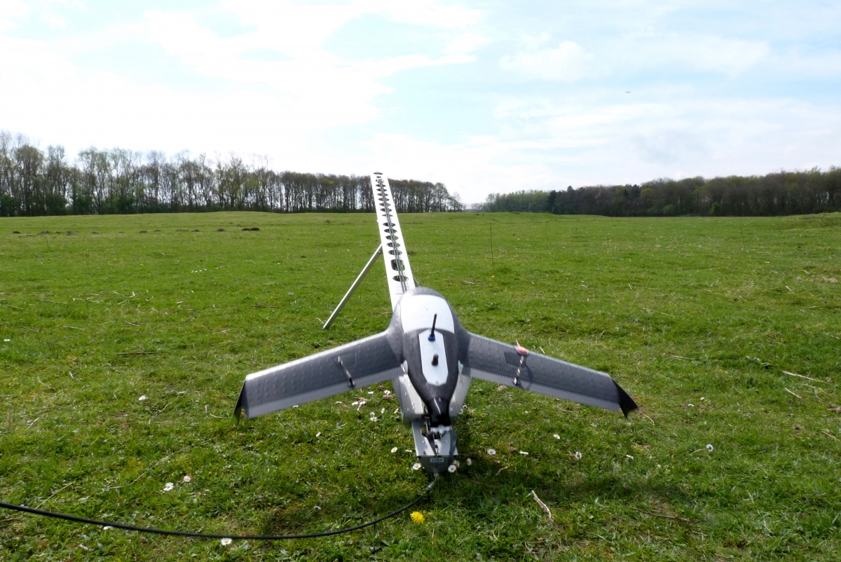
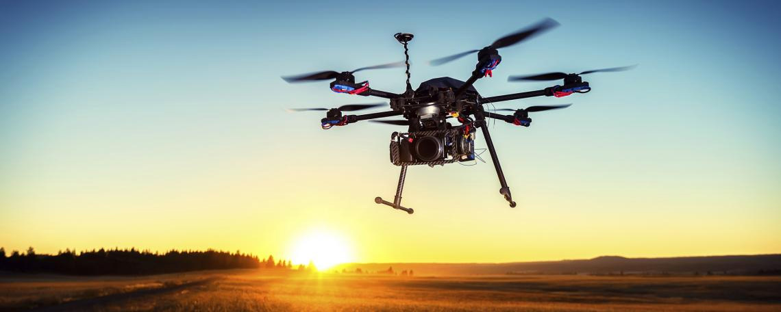
A distinction is made between fixed-wing drones (which are launched manually or catapulted by a rubber band), multi-rotor drones (which are able to hover like a helicopter) and hybrid variants.
 |
 |
Image recording campaign as part of the STEREO project BEETPHEN, which aims to study the potential of drones in the quantitative evaluation of leaf diseases in test plots |
High-altitude platforms, also known as HAPS (High Altitude Pseudo-Satellite) or stratospheric platforms, are quasi-stationary aircraft that can remain at an altitude of approximately 20 kilometres for a very long time. Thanks to this altitude, they can cover vast areas (up to 500 km in diameter) and deliver very high-resolution images, while remaining above air traffic to avoid risks and disruptions. They are therefore used to supplement terrestrial and satellite networks and mainly provide communication and observation services. They can be of different types: floating balloons (such as the Google Loon), solar-powered aircraft (such as the Airbus Zéphyr) or stationary airships (such as the Stratobus from Thales Alenia Space).
|
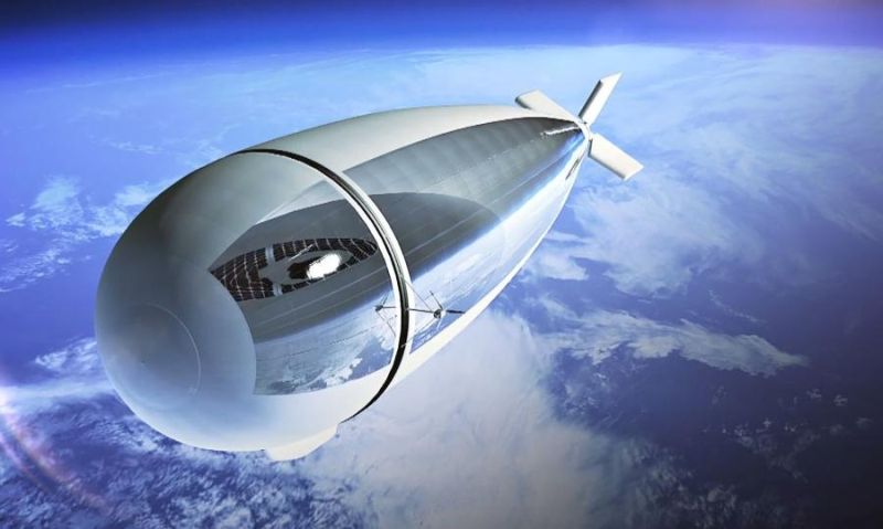
Stratobus is a project by Thales Alenia Space. It is a hot air balloon 140 metres long and 32 metres in diameter, equipped with an autonomous electric propulsion system and suitable for very long missions (of the order of one year) and large loads (250 kg). This multi-mission platform is designed for both civil and military applications in the fields of observation, telecommunications and navigation. Source: Wikimedia Commons. |


