

V - HOW TO VALIDATE RESULTS?
1- POSITIONAL ACCURACY
First, it is important that the geographical position of the data is correct. Indeed, as it concerns spatial data, it is almost inevitable that remote sensing data will be combined with other geodata such as various map material, meteorological observations or all kinds of ground measurements.
So a good geographical match is very important and this is why we use what is known as georeferencing.
Source: Geographic coordinate system - The Core of GIS Science 2020 - University of Twente.
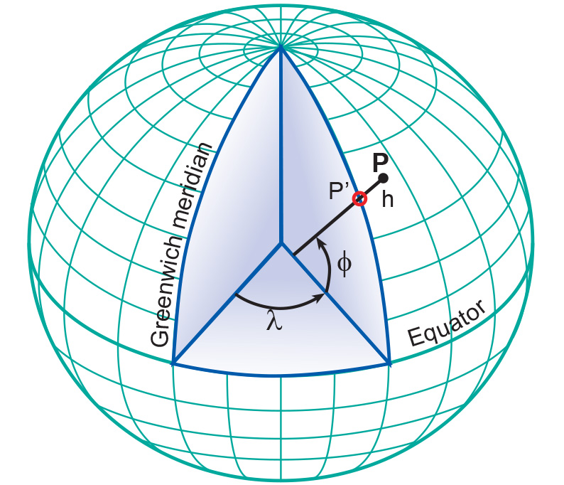
To ensure correct merging of spatial data, it is necessary to place them in the same cartographic reference system. Any place or object on the satellite image or aerial photograph must be assignable to a point in space via a coordinate system.
Thanks to the development of geographic information systems (GIS), re-projecting data and computing with geographic data has become much easier.
On the other hand, automation of remote sensing calculations can also lead to erroneous results. For this reason, validation using reference data is necessary.
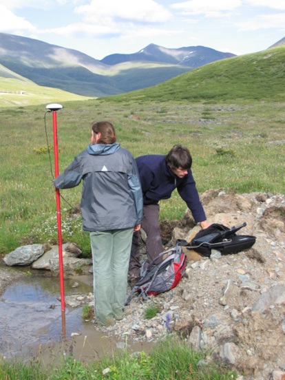
GPS measurements in the Altai Mountains for accurate location of Scytian burial monuments
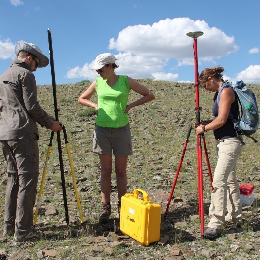
Reference data can come from terrain work, from maps or from orthophotos. During field measurements, a GNSS device or total station is used to determine the correct geographical coordinates of a location that is also clearly visible on the images. From this, indicators can be derived that indicate the positional accuracy of geographical data derived from remote sensing images.