1.2- Aircraft
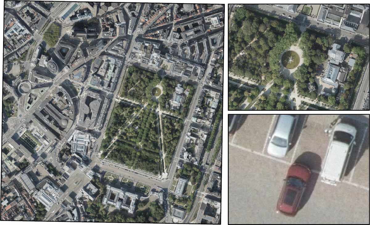
Aerial photography is one of the earliest forms of remote sensing. But despite all the advantages of satellites, aircraft are also still very often used for aerial photography. Because the flight altitude is very low compared to the orbital altitude of satellites (from 100 m to several kilometres above the Earth's surface), the images are very detailed: their resolution can be 1 to 5 cm per image pixel. Another advantage over satellites is the ability to obtain images exactly where and when we need them. Recordings from aircraft are therefore ideally suited for local applications that require the greatest possible spatial detail.

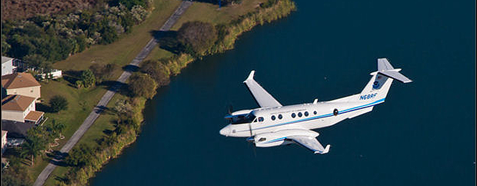
NOAA's Hawker Beechcraft King Air 350CER aircraft. Source: Aerial Photography and Shoreline Mapping (National Oceanic and Atmospheric Administration)
On the other hand, the parts of the territory that can be observed during an air campaign are limited. Flights are of course also only possible when weather conditions permit. Therefore, images obtained aboard aircraft are generally quite clear (few clouds). This is certainly not always the case for satellite images.
Aircraft, by the way, are not only used for taking detailed aerial photos. Multispectral and hyperspectral sensors are also placed on board aircraft. Thus, the advantages of detailed observations in different parts of the electromagnetic spectrum can be combined with high spatial detail. LiDAR systems are also being brought on board aircraft to collect very accurate topographic and bathymetric data.


